ArcGIS Location Services are services hosted by Esri that provide geospatial functionality and data for building mapping applications. You can use the service APIs to display maps, access basemaps styles, visualize data, find places, geocode addresses, find optimized routes, enrich data, and perform other mapping operations. The services also support advanced routing operations such as fleet routing, calculating service areas, and solving location-allocation problems. To build applications you can use ArcGIS Maps SDKs, open source libraries, and scripting APIs.
What's in this guide
This guide shows you how to build mapping applications with the following location services:
- Basemap services
- Places service
- Geocoding service
- Routing service
- GeoEnrichment service
Learn how to build mapping apps
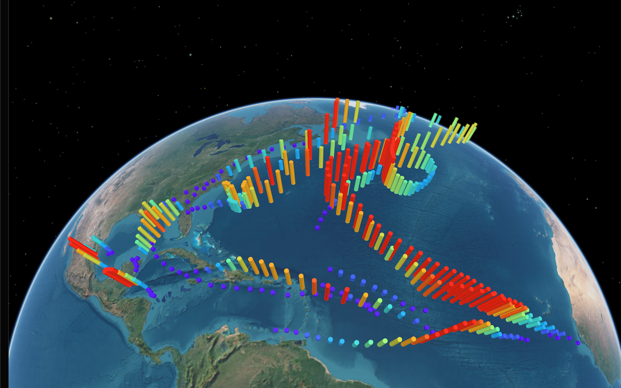
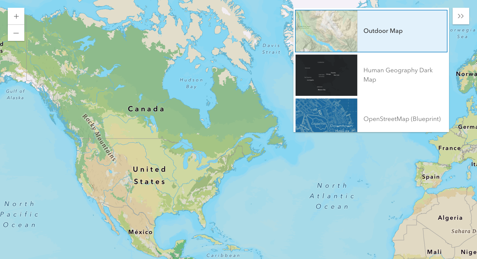
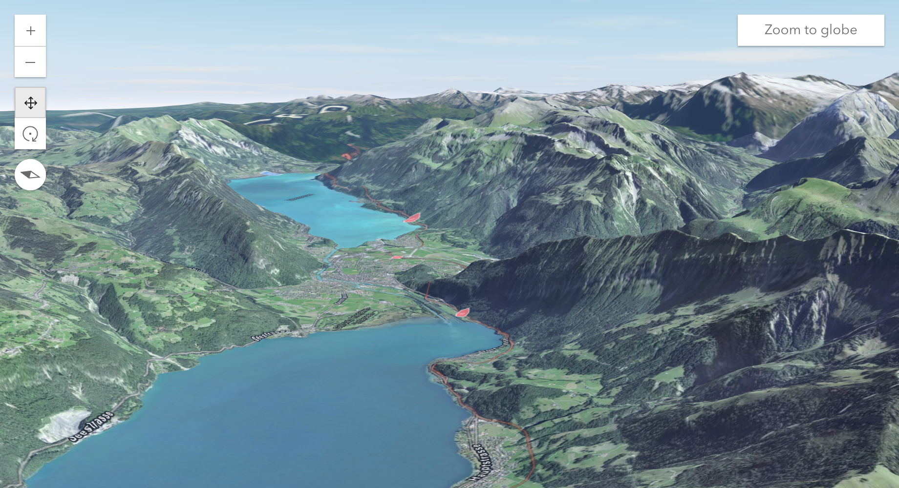
Mapping
Create and display 2D and 3D mapping apps.
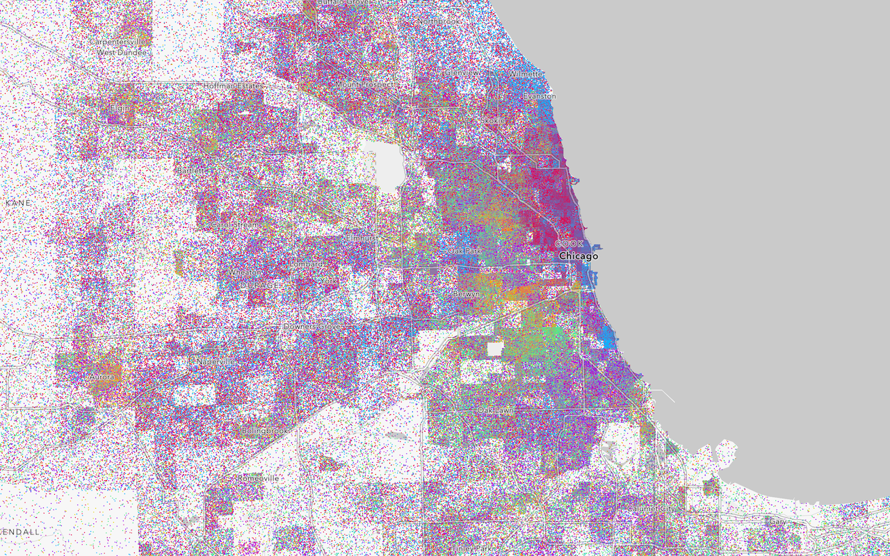
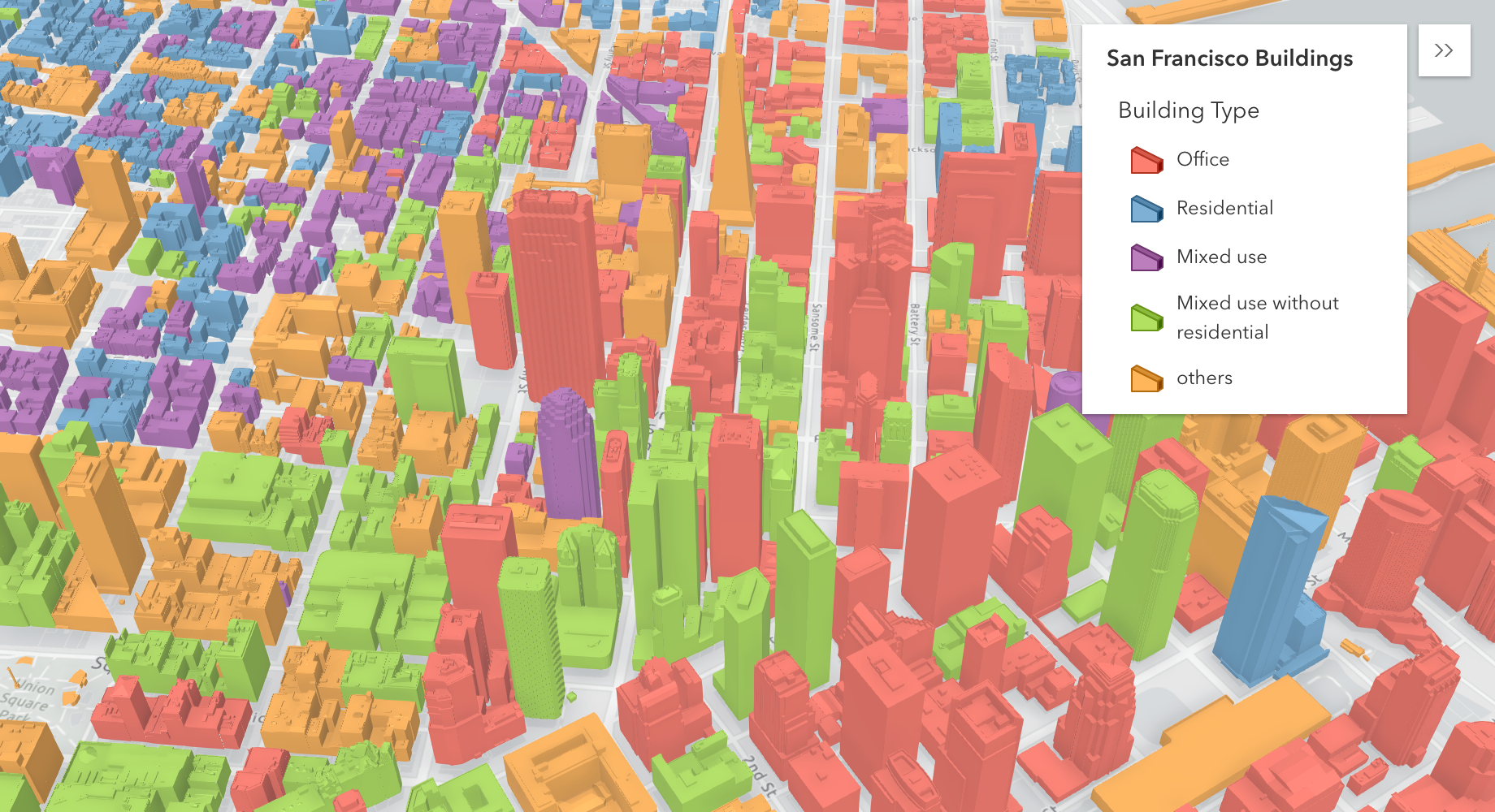
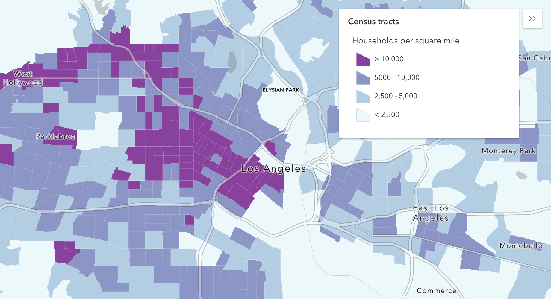
Data visualization
Style 2D and 3D features with symbols and renderers.
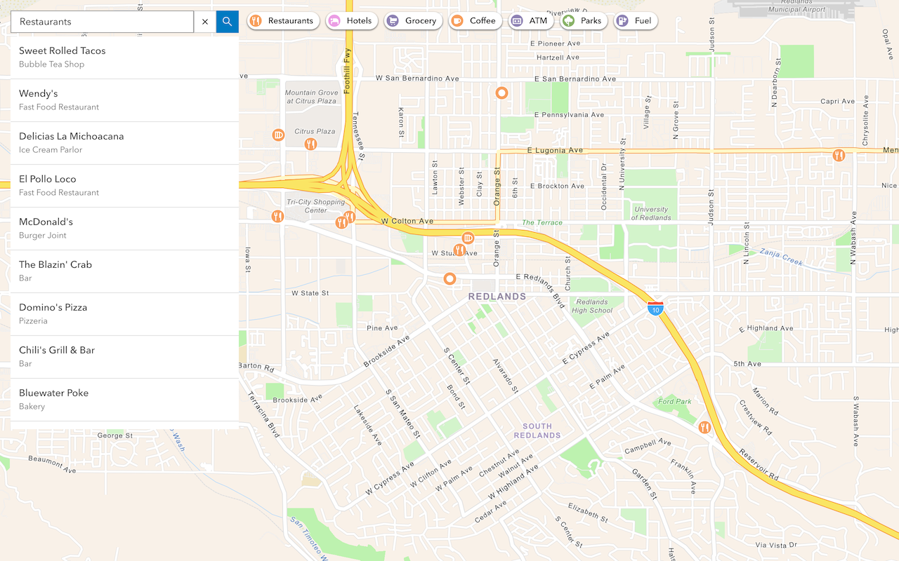
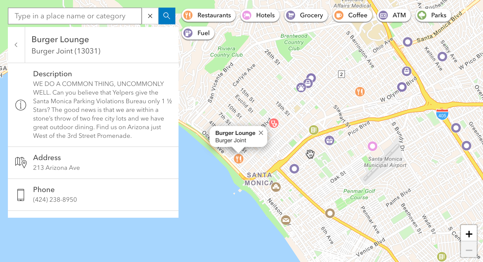
Place finding
Search for places near a location and get place details.
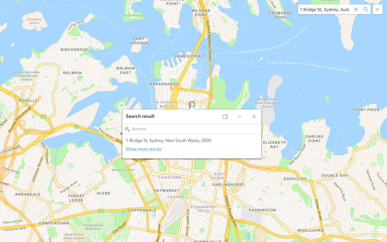
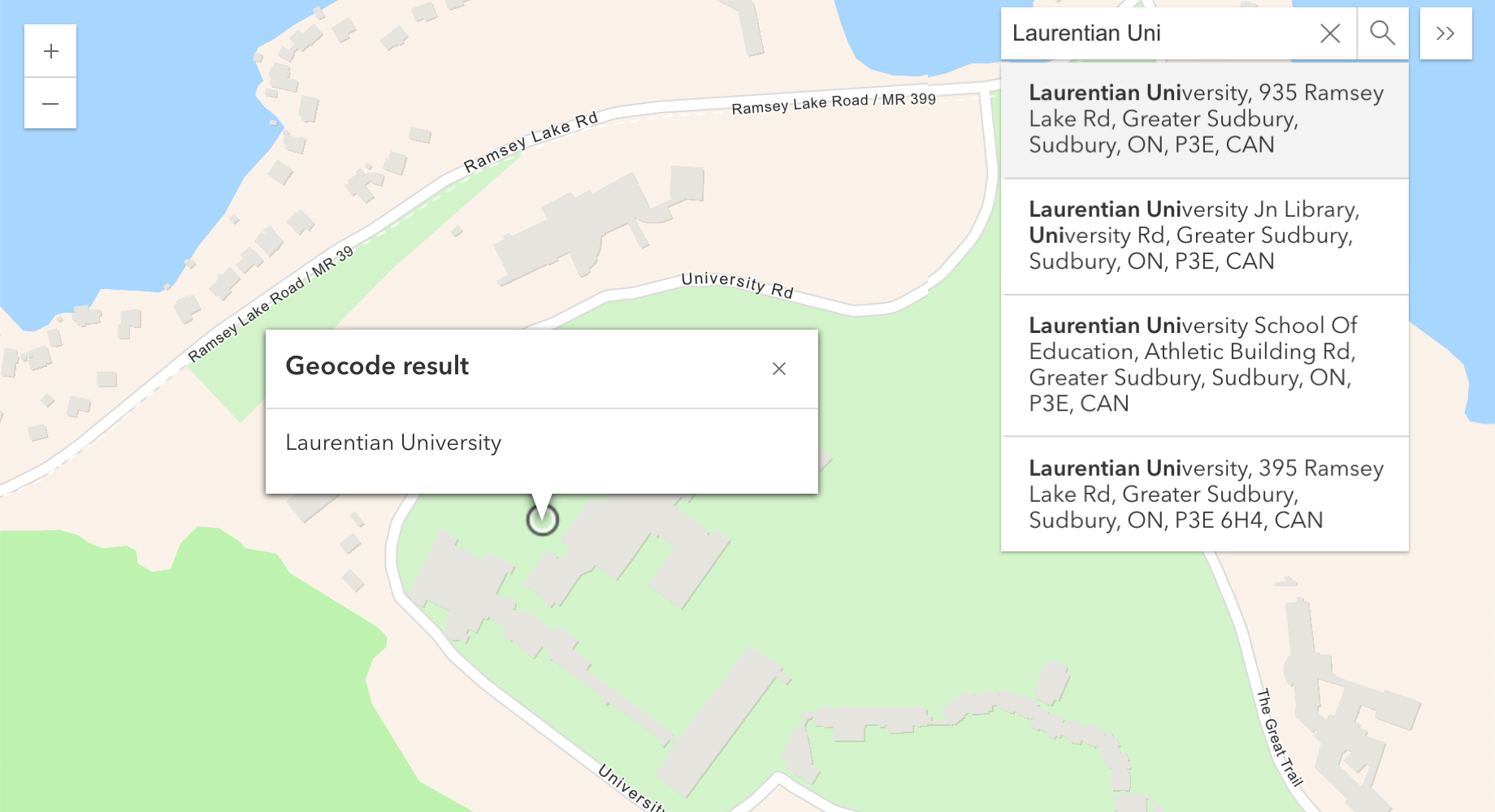
Geocoding
Find addresses, get suggestions, and reverse geocode.
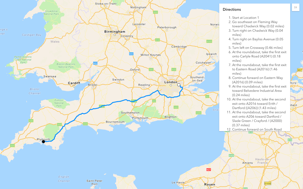
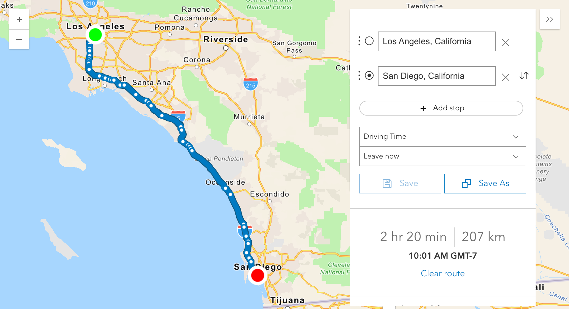
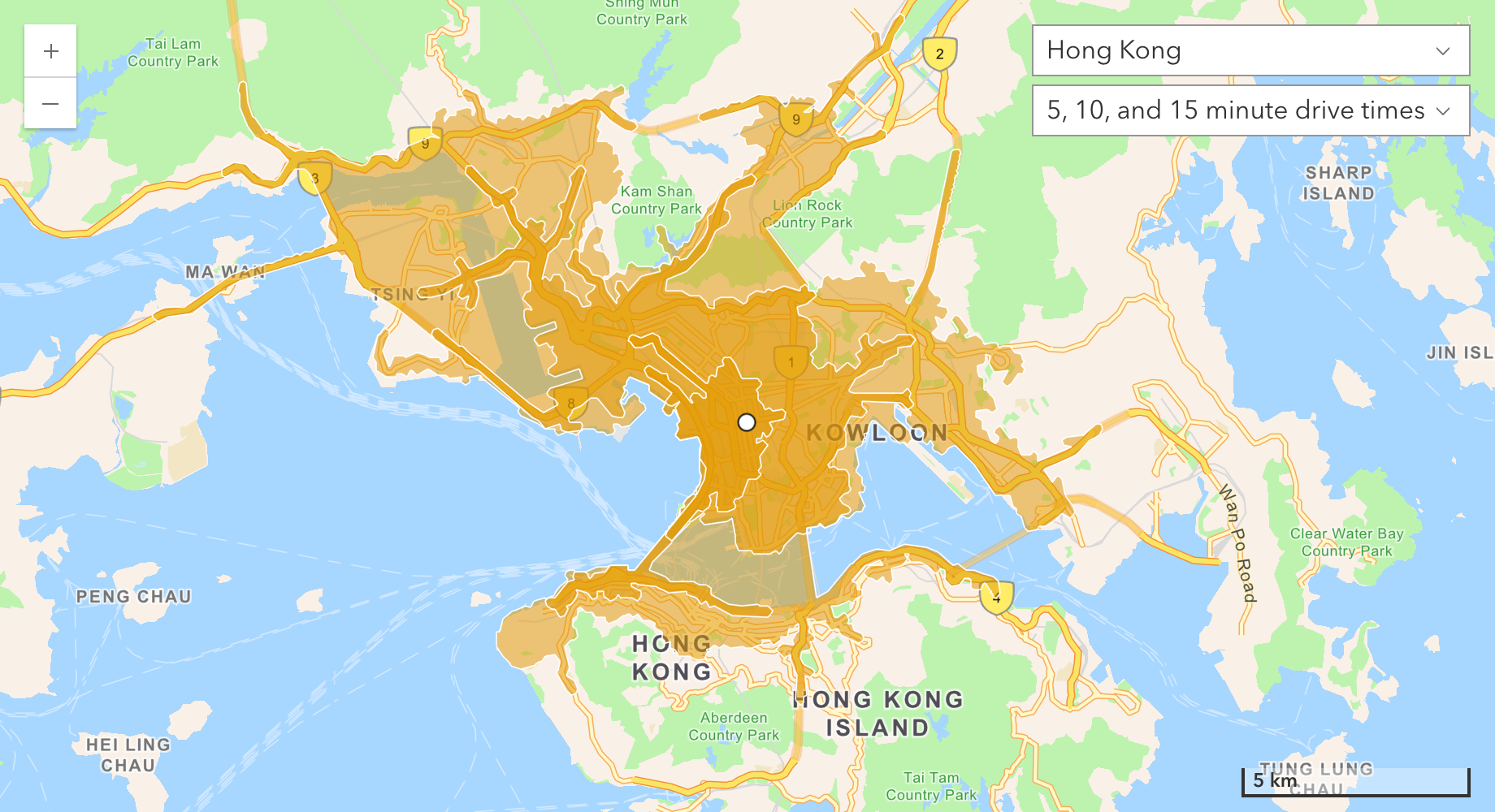
Routing and directions
Find routes and directions, service areas, and closest facilities.
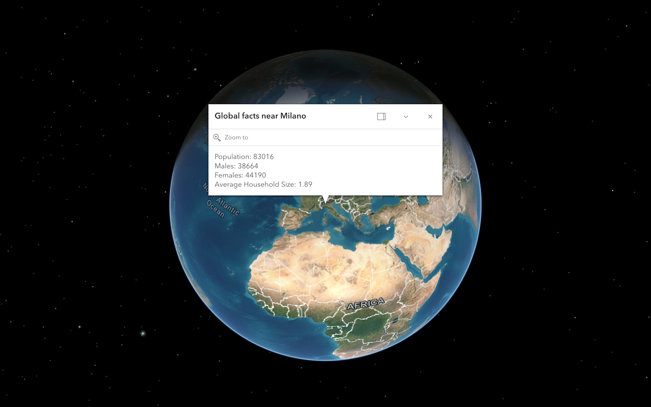
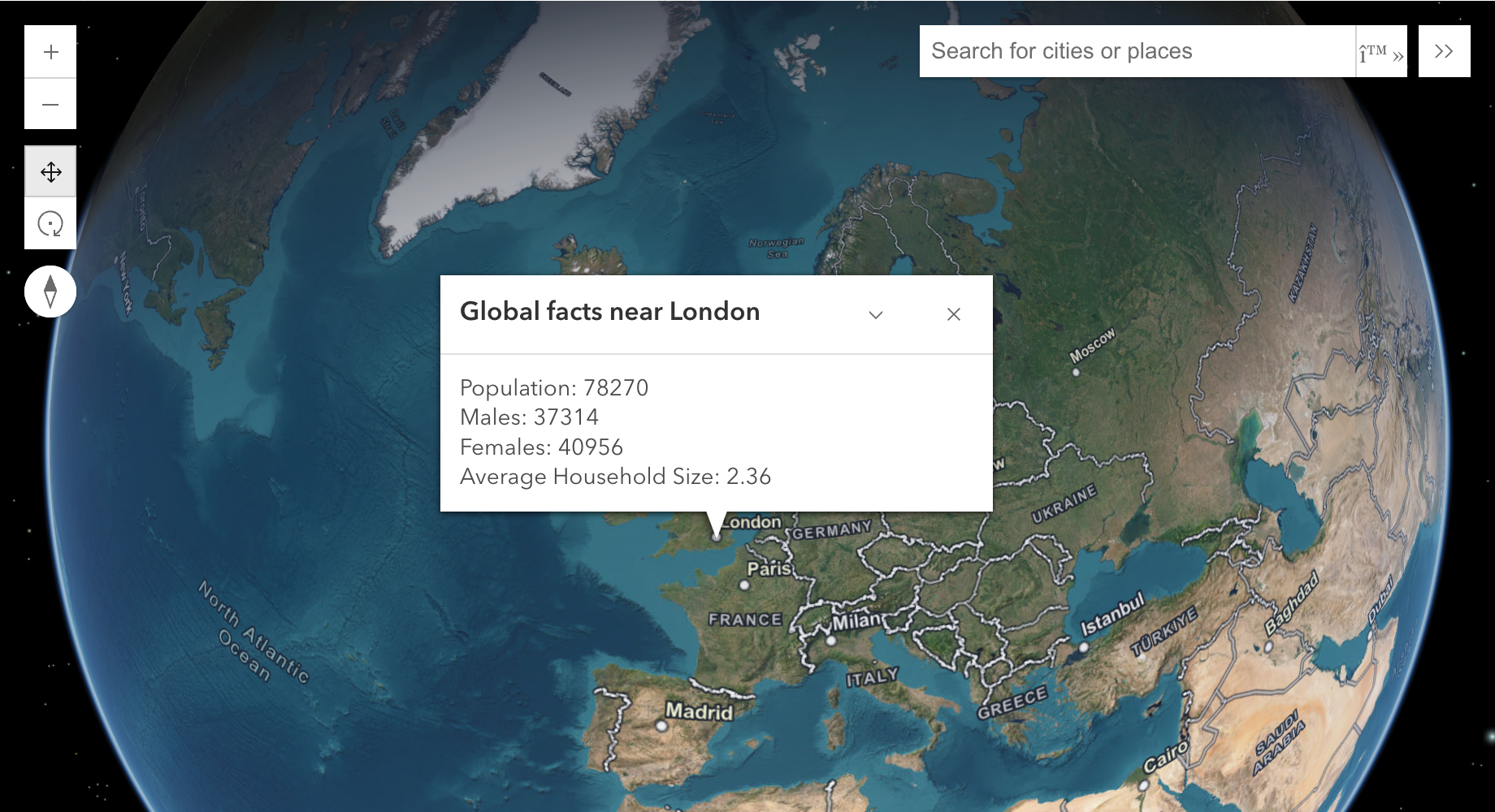
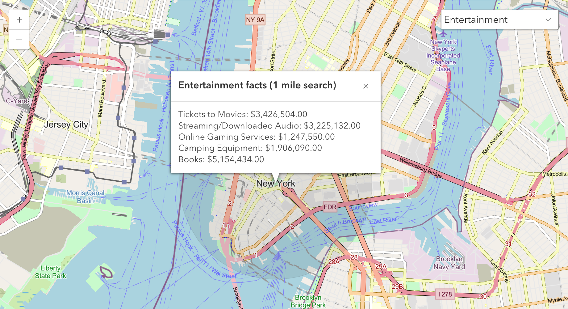
Data enrichment
Get local facts and demographic data for locations.