A style is a set of visual properties for a layer that controls how geographic data are displayed in a map or scene. Creating and defining styles helps uncover patterns in data and build more meaningful applications. This section covers how to use ArcGIS Maps SDKs to create simple styles, data-driven styles, and 3D styles for features displayed in a map or scene.
To get started, go to Topics.
Topics
How to build a data visualization app
Learn how to define symbols for features from feature services.
Simple styles
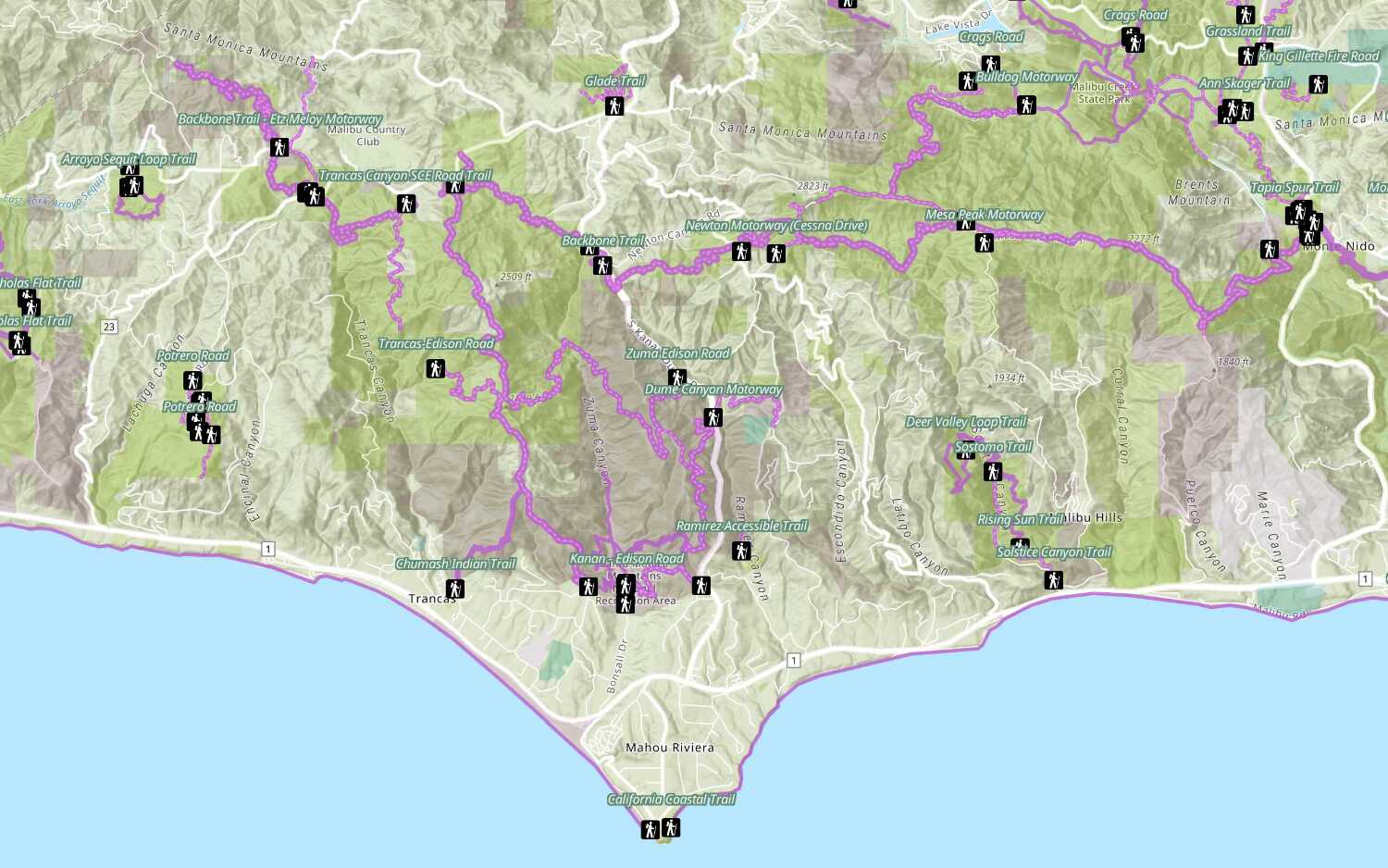
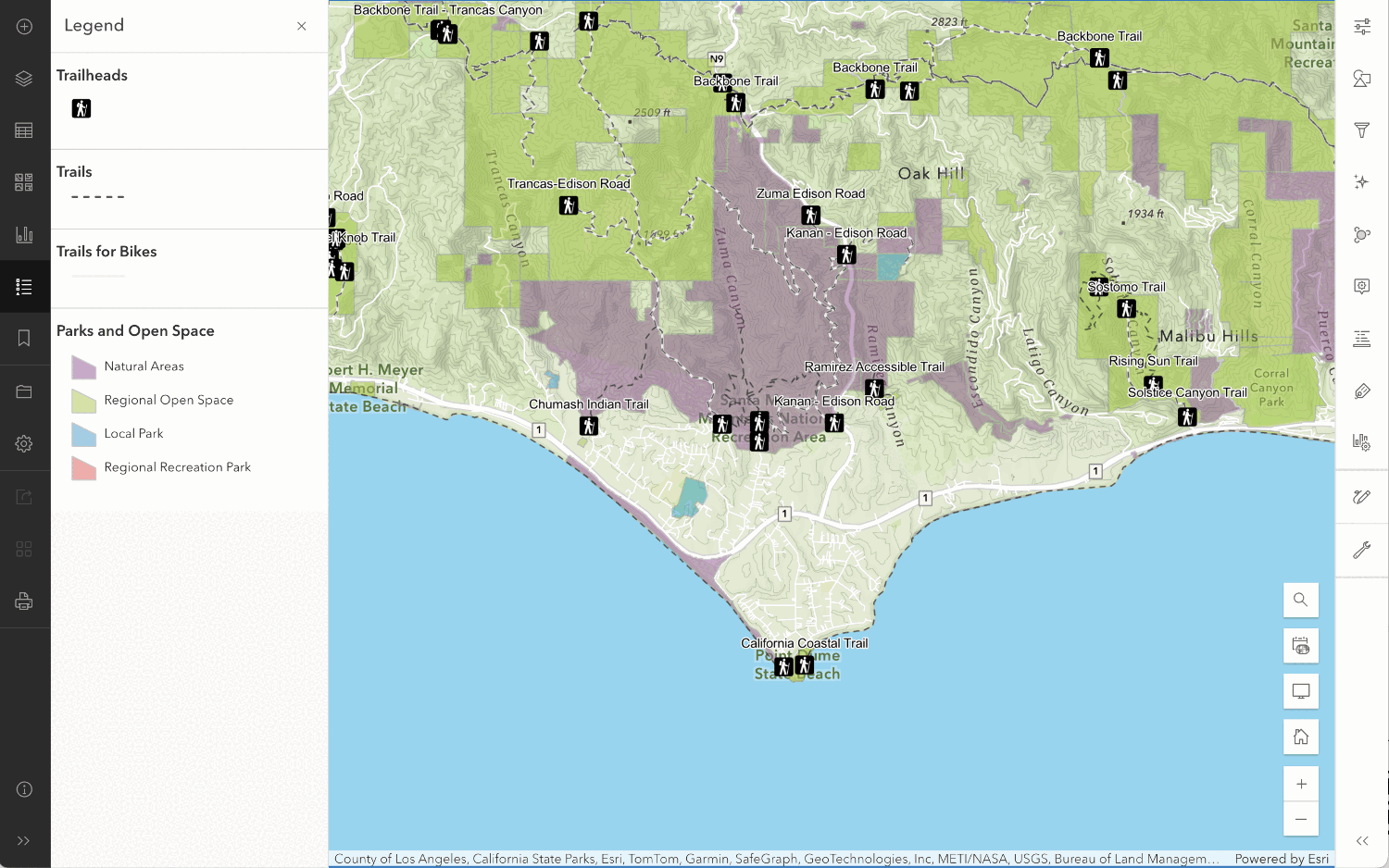
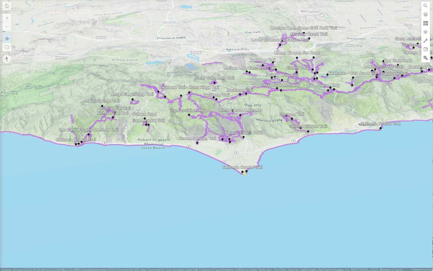
Learn how to define simple symbols and renders for points, lines, and polygons in feature layers.
Data-driven styles
Learn how to define multiple symbols, visual variables, and renders based on attribute values in feature layers.
3D visualization
Learn how to create and apply symbols and visualizations for 3D objects.
API support
| Point, line, and polygon styles | Data-driven visualization | 3D visualization | |
|---|---|---|---|
| ArcGIS Maps SDK for JavaScript | |||
| ArcGIS Maps SDK for Kotlin | |||
| ArcGIS Maps SDK for Swift | |||
| ArcGIS Maps SDK for Flutter | 1 | 1 | |
| ArcGIS Maps SDK for Java | |||
| ArcGIS Maps SDK for .NET | |||
| ArcGIS Maps SDK for Qt | |||
| Esri Leaflet | |||
| MapLibre GL JS | |||
| OpenLayers | |||
| CesiumJS | |||
| ArcGIS API for Python | 2 | 3 |
- 1. Coming soon. Click ArcGIS Maps SDK for Flutter above to learn more.
- 2. Define renderers with JavaScript.
- 3. Supports web scenes only.
Different APIs have different levels of support for data-driven visualization.
| Unique types | Class breaks | Visual variables | Time | Multivariate | Predominance | Dot density | Relationship | |
|---|---|---|---|---|---|---|---|---|
| ArcGIS Maps SDK for JavaScript | ||||||||
| ArcGIS Maps SDK for Kotlin | 1 | 2 | 1 | 1 | 1 | |||
| ArcGIS Maps SDK for Swift | 1 | 2 | 1 | 1 | 1 | |||
| ArcGIS Maps SDK for Flutter | 1 | 2 | 1 | 1 | 1 | |||
| ArcGIS Maps SDK for Java | 1 | 2 | 1 | 1 | 1 | |||
| ArcGIS Maps SDK for .NET | 1 | 2 | 1 | 1 | 1 | |||
| ArcGIS Maps SDK for Qt | 1 | 2 | 1 | 1 | 1 | |||
| Esri Leaflet | ||||||||
| MapLibre GL JS | ||||||||
| OpenLayers | ||||||||
| CesiumJS | ||||||||
| ArcGIS API for Python |
- 1. Honored when read from a web map, does not provide an API
- 2. Provides an API for time-aware layers and time extent on layers and the geoview
Tutorials
Style a feature layer
Use symbols and renderers to style feature layers.
Services
Basemap styles service
Access and display basemap styles with optional local language labels, worldviews, and places.
Feature service
Add, update, delete, and query feature data.