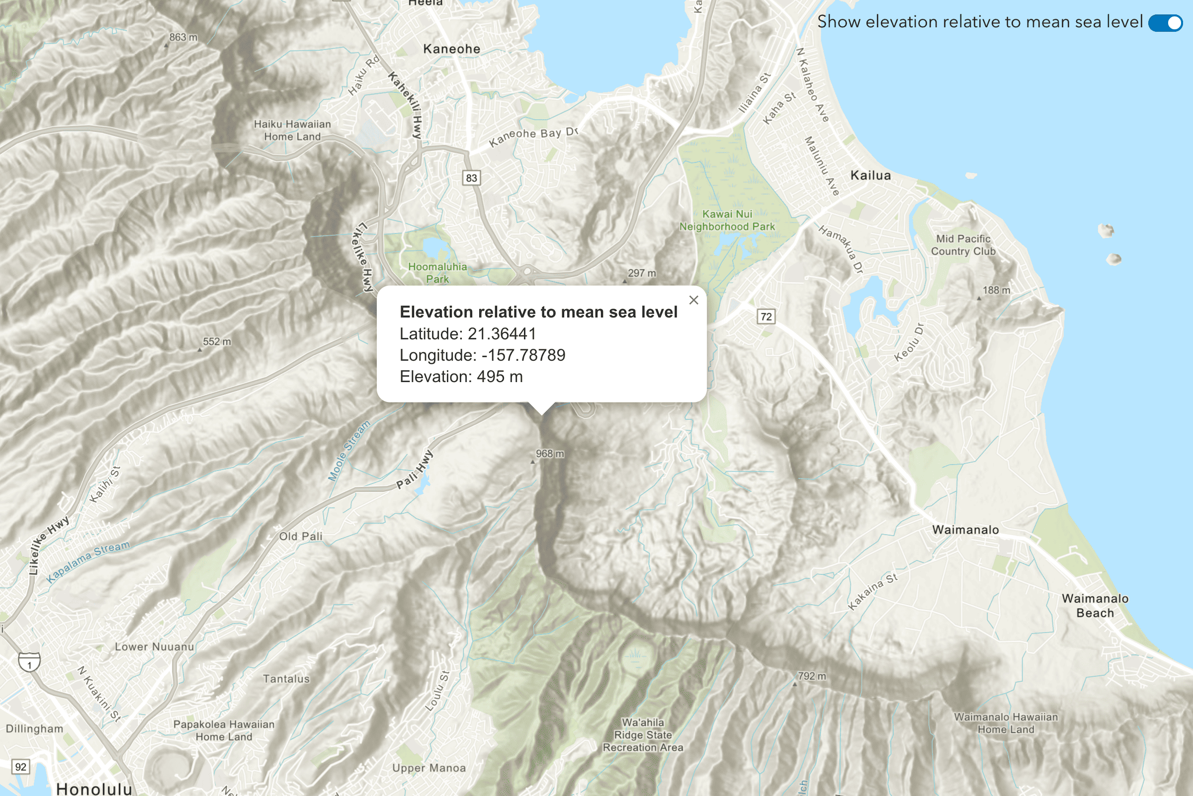
Elevation is the vertical distance (height) of a location above or below a reference point such as the mean sea level or ground level. The ArcGIS Elevation service allows you to find the elevation based on a datum (mean sea level or ground level) for locations on land or water. It can be used to develop many types of applications that inspect the height of terrain or find the depth of lakes or oceans. This section shows you how to use the service.
To get started, go to Topics.
Topics
How to build an app to find elevation
Learn the steps required to build apps with the Elevation service.
Point elevation
Find elevation data of a single location.
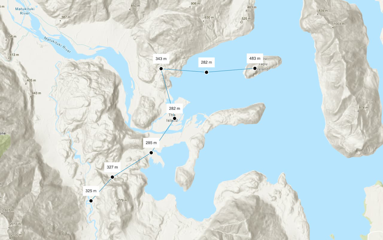
Multiple point elevations
Find elevation data of multiple locations (up to 100) at once.
API support
- 1. Access via HTTP request.
- 2. Access via ArcGIS REST JS
Tutorials
Find the elevation of a point
Find elevation value of a single location on land or water.
Find the elevations of multiple points
Find elevation values of multiple locations on land or water.