APIs
Follow step-by-step instructions or download code solutions for different ArcGIS Maps SDKs, scripting APIs, and open source libraries.
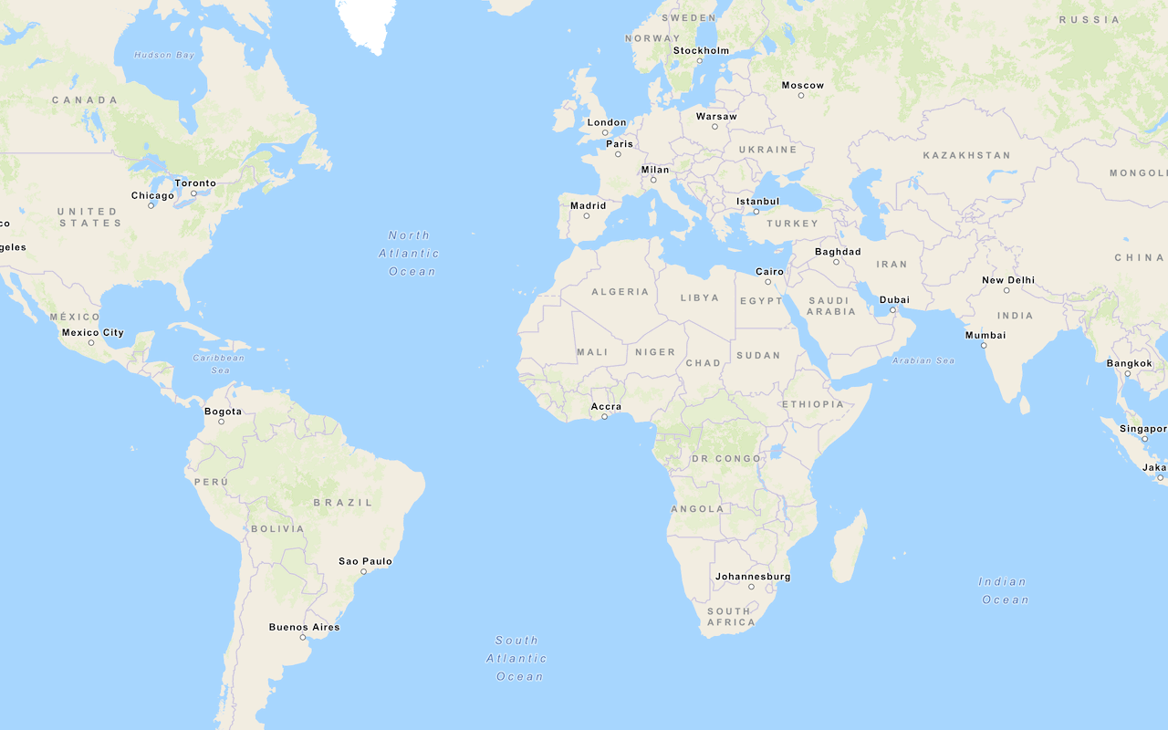
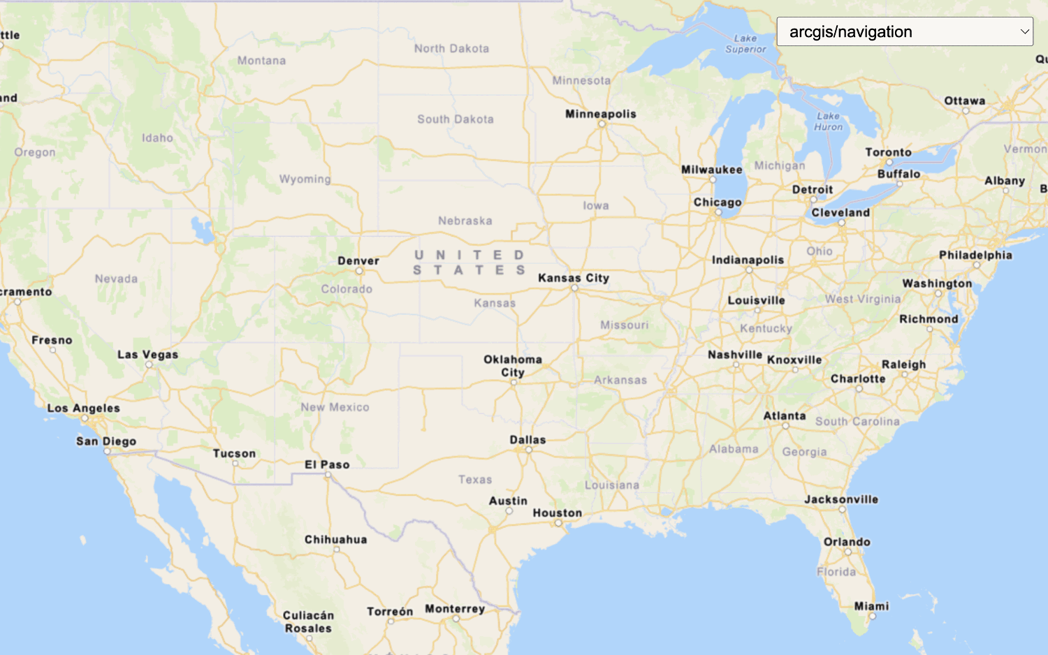
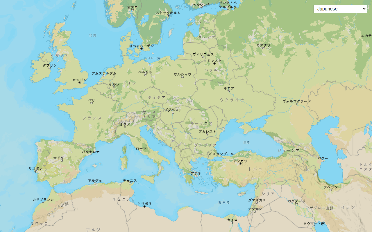
![](/documentation/static/display-a-map-b4974c7cfef498eb43e99ab60191cbaf.png)
Display a map
Create and display a map with the basemap styles service.
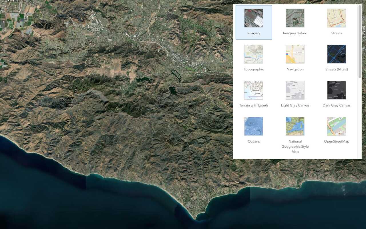
![](/documentation/static/display-a-scene-3ddcec3963df3ed3fad5880264630e3d.png)
Display a scene
Display a scene with the basemap styles service.
![](/documentation/static/change-a-basemap-layer-120a281804a3088480dad1792aaca418.png)
Change the basemap layer
Switch a basemap layer from streets to satellite imagery.
![](/documentation/static/change-the-place-label-language-67a7240aeafa12440103a7b5c0d1b1f8.png)
Change the place label language
![](/documentation/static/display-a-custom-basemap-style-570ef785765357c447c74dacaf8a3d26.png)
Display a custom basemap style
Add and display a styled vector tile basemap layer.
![](/documentation/static/basemap-places-629432d03331b940a2ced6669cd1c594.png)
Display basemap places
Learn how to use the basemap styles service to show place locations on a basemap.
![](/documentation/static/display-a-pop-up-f7e2fdd51199161a0a5405d24838a9e1.png)
Display a popup
Format a popup to show attributes in a feature layer.
![](/documentation/static/add-a-point-line-and-polygon-ad1787d05c24d050cd3ec5b3c7f1bc74.png)
Add a point, line, and polygon
Display point, line, and polygon graphics in a map.
![](/documentation/static/display-a-web-map-d79089c62a3da71ff0cc8879d285b10b.png)
Display a web map
Create and display a map from a web map.
![](/documentation/static/display-a-web-scene-9ea867b65faf091797b029697390a404.png)
Display a web scene
Create and display a scene from a web scene.
Tools
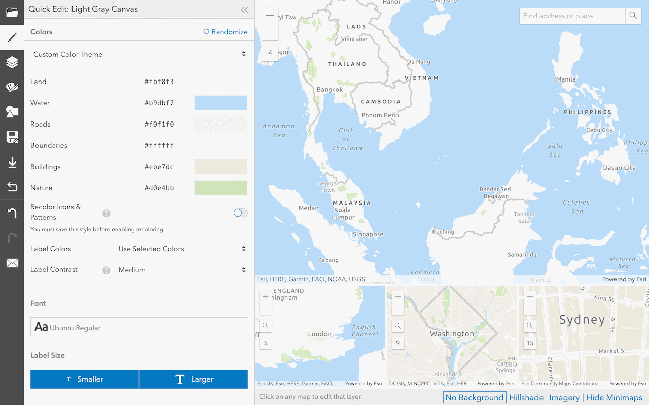
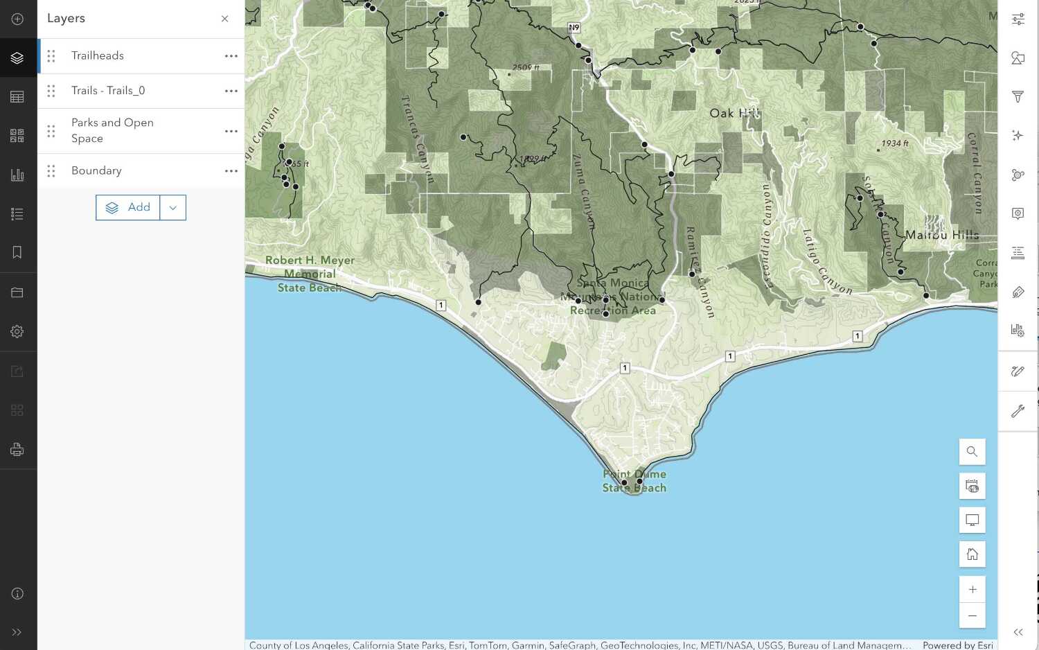
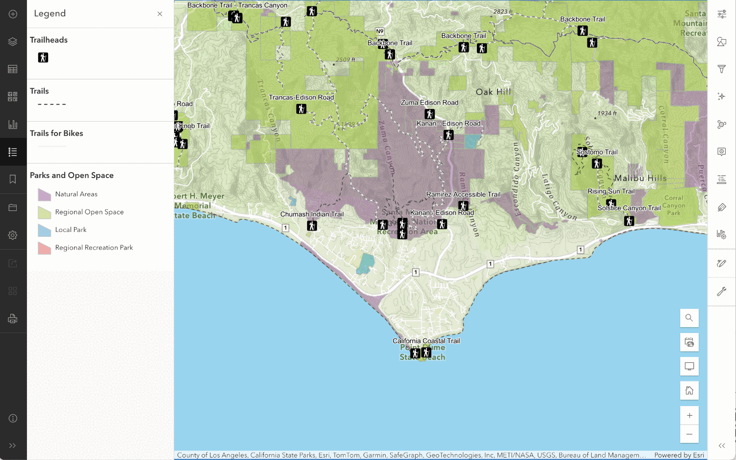
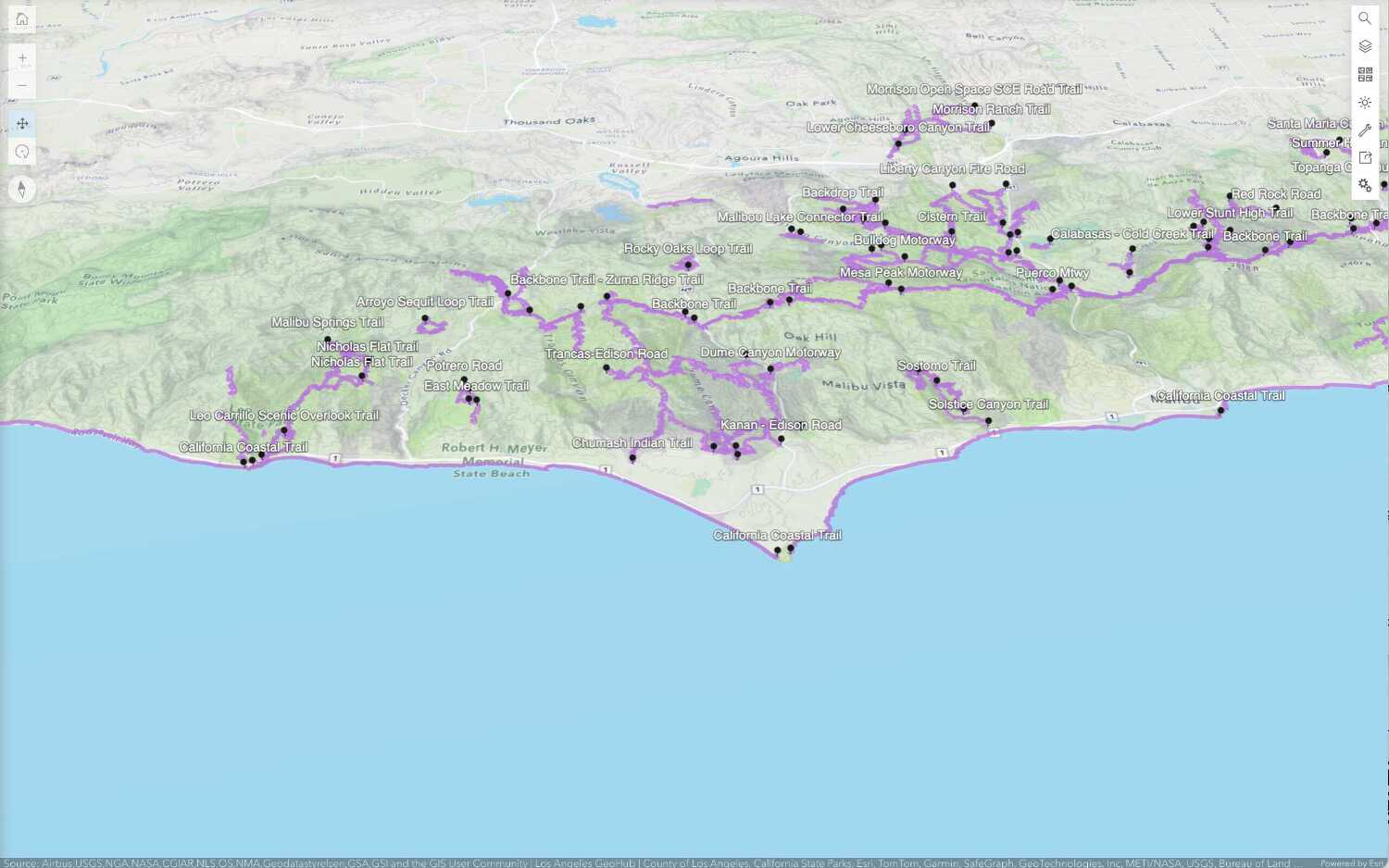
Learn how to create custom basemap layers, web maps, and web scenes with different mapping tools.
![](/documentation/static/create-a-custom-basemap-style-1636af48a04308bfba8d869b0a3ad681.png)