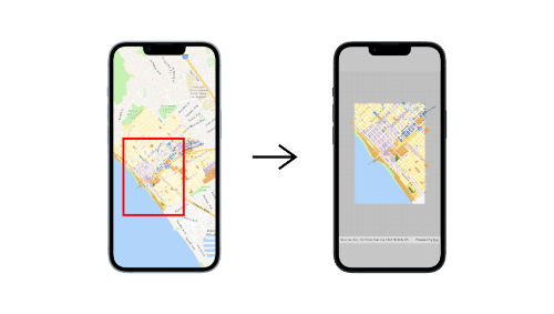
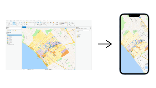
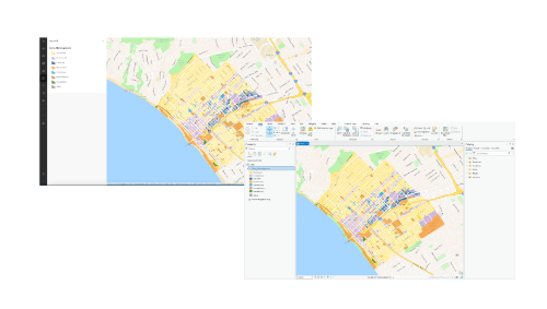
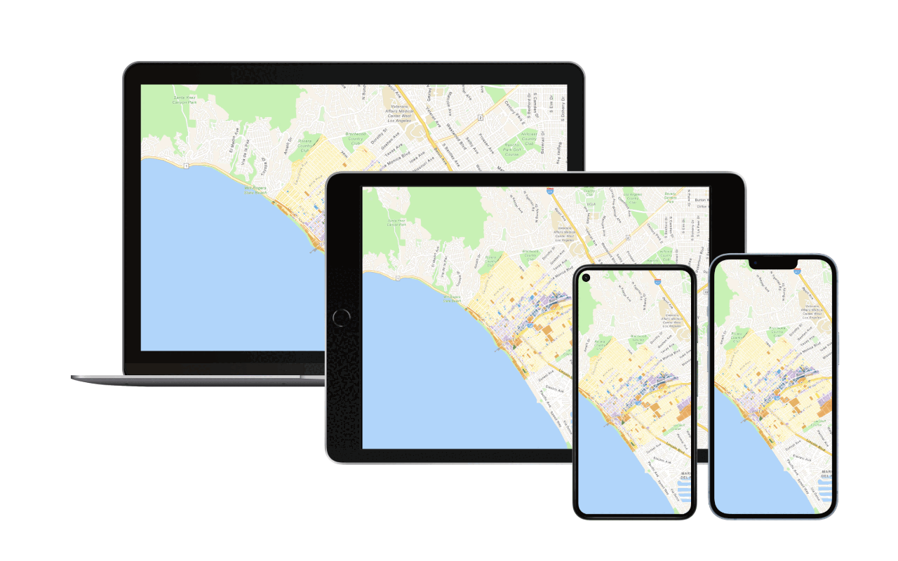
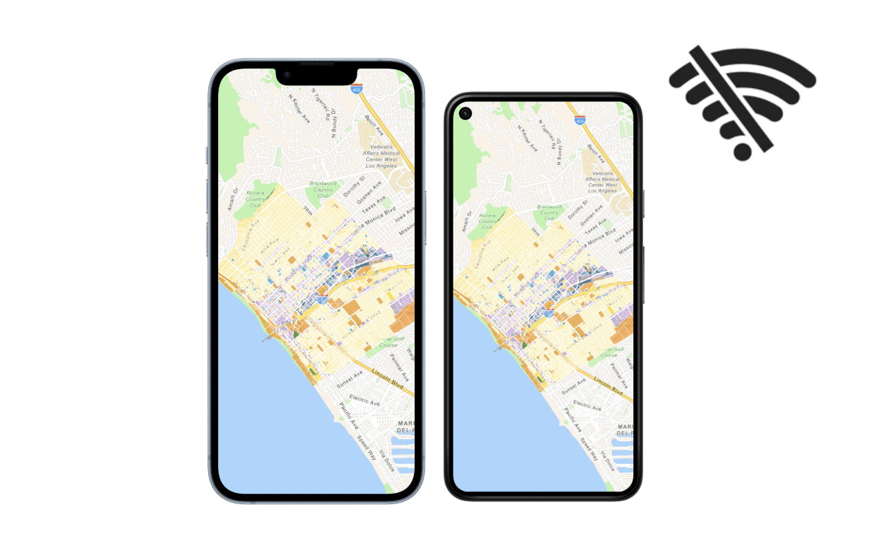
ArcGIS Maps SDKs for Native Apps support developing offline mapping applications that work where network connectivity is unreliable or entirely absent. You can build offline applications to display maps and layers, style data, edit data, find places, geocode addresses, and find routes. As part of your mobile development workflow you can use tools such as Map Viewer and ArcGIS Pro to prepare different types of mobile data sources for your applications such as offline maps, offline data, mobile packages, and data files. Two common workflows for preparing and accessing offline maps are ahead of time and on-demand. The workflow you use determines how you prepare, synchronize, and access offline maps in your applications.
What's in this guide
Learn how to build apps
Introduction to offline apps
Learn about offline apps, when to use them, and their capabilities.
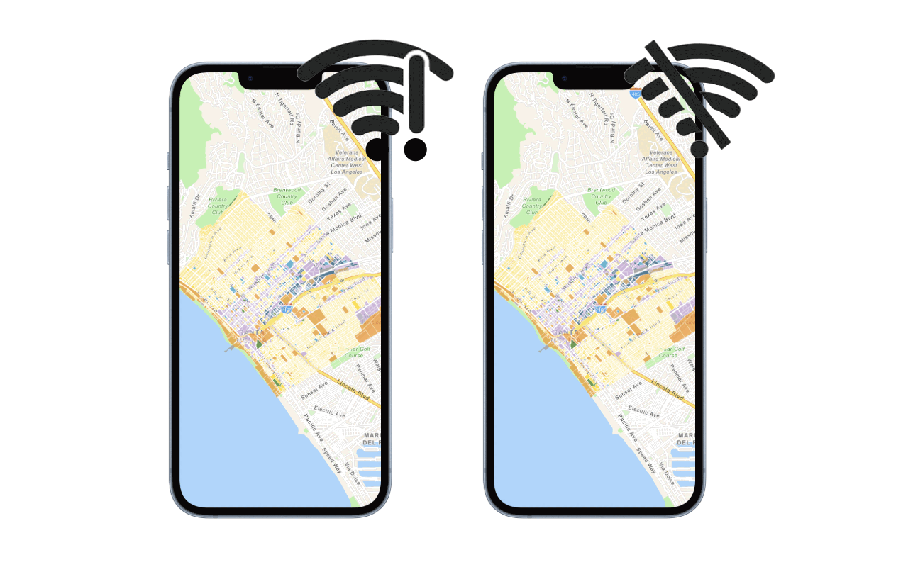
Types of offline apps
Learn about the different types of offline apps you can create based on network connectivity.
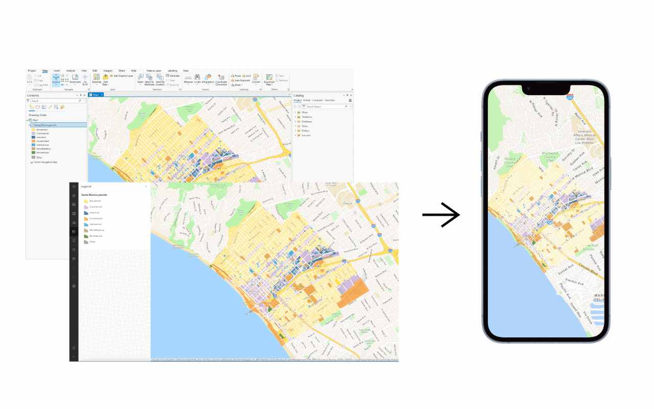
How to build an offline app
Learn about the steps required to build an offline app.
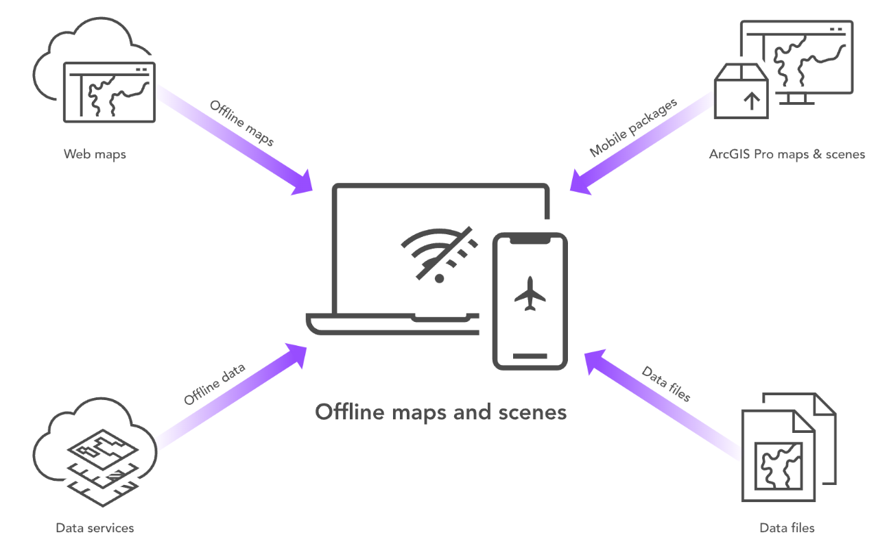
Types of mobile data sources
Learn about the different mobile data sources for building offline apps.
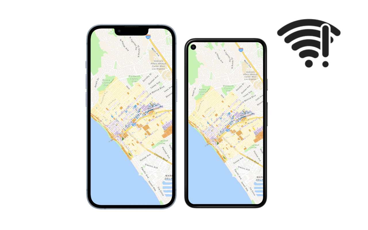
Partially offline apps
Learn the steps required to build an app that works when the network is unreliable.
Fully offline apps
Learn the steps required to build an app that works when the network is entirely absent.
