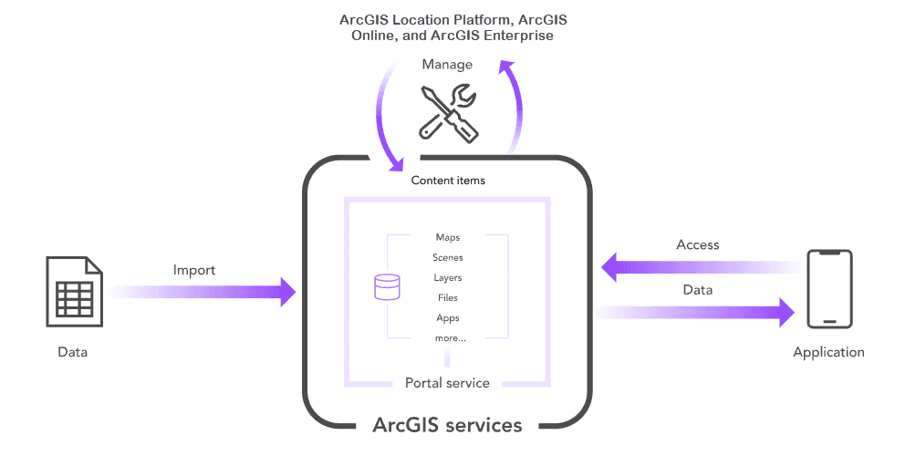
ArcGIS Location Platform, ArcGIS Online, and ArcGIS Enterprise provide access to a portal so developers can create and manage geospatial content and data for your applications. The sections below show you how to access your portal, use tools to perform essential development tasks, access the portal directly with the portal service, and create, manage, and access data services.
To get started, go to the topics below.
Topics
Portals
Introduction to portals
Learn what a portal is and how to use it to create and manage your data.
Portal tools
Learn how to use portal tools and apps to create and manage content in your portal.
Portal apps
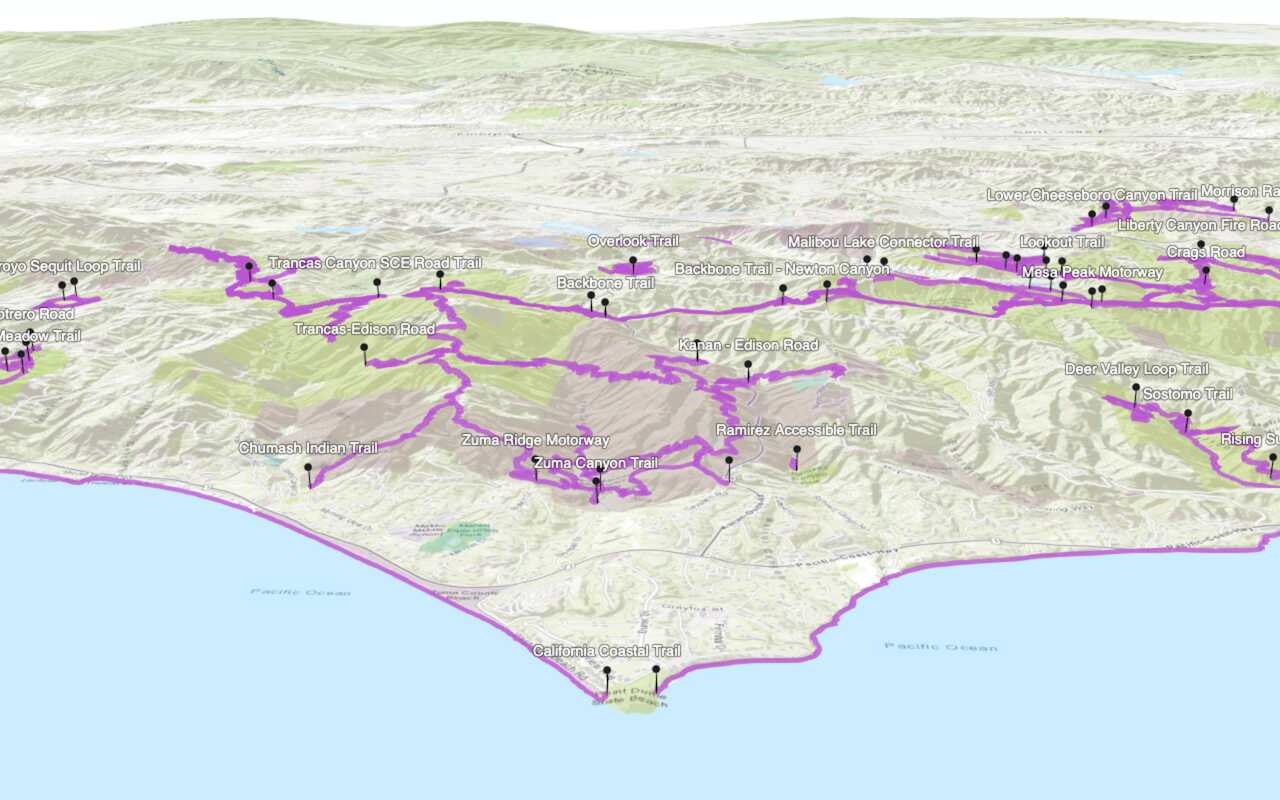
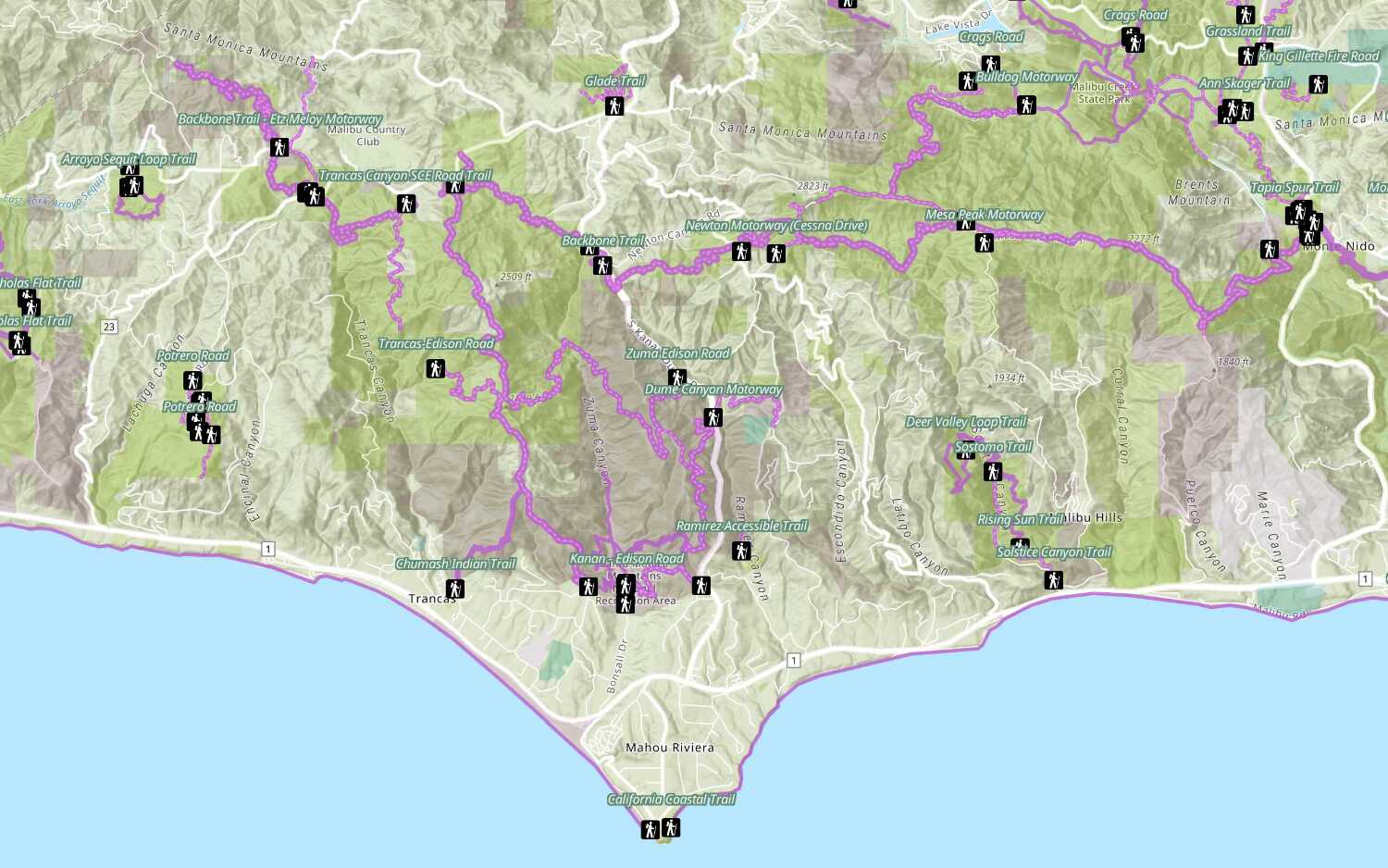
Learn how to use portal apps to create, share, and interact with maps and geospatial data.
Portal service
Portal service
Learn how to build applications with the portal service.
How to use the portal service
Learn how to build applications with the portal service.
Security
Learn how to protect your data, services and applications.
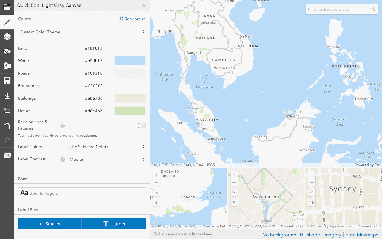
Settings
Learn how to configure and customize your portal.
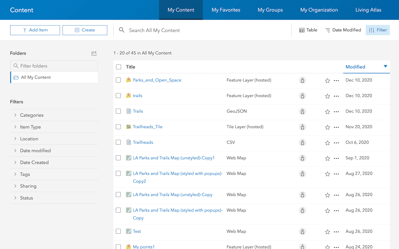
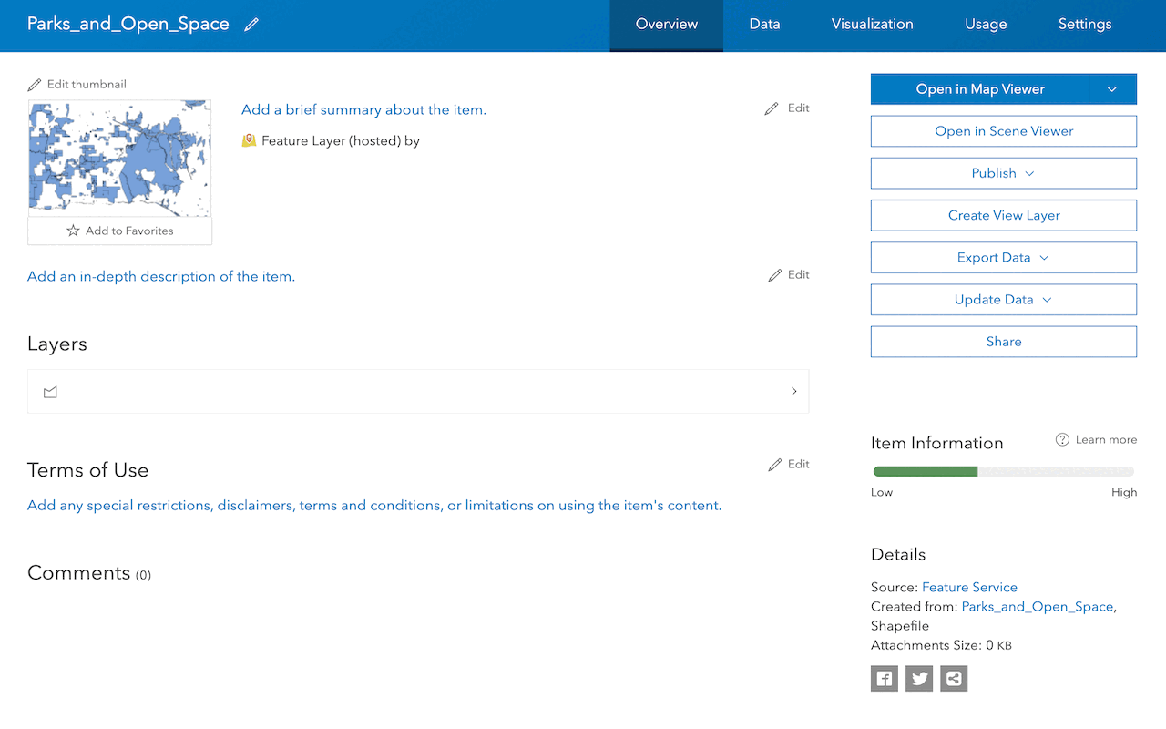
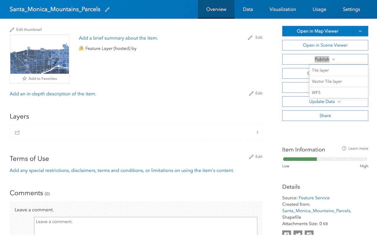
Items
Create, manage, and access different types of content in a portal.
Users and groups
Find and manage users and groups in a portal.
Search
Learn how to discover items using the portal service.
Data services
Introduction to data services
Learn about data services, why to use them, and what you need to get started.
Types of data services
Learn about the different types of data services you can use to host your data.
How to work with data services
Learn about the steps to create, manage, and access data services in ArcGIS.
Feature services
Learn how to create, manage, and access services that support feature data.
Vector tile services
Learn how to create, manage, and access services that support vector tile data.
Map tile services
Learn how to create, manage, and access services that support map tile data.
Image services
Learn how to create, manage, and access services that support imagery and raster data.
Tutorials
Display a web map
Create and display a map from a web map.
Services
Portal service
Store, manage, and access private and public content.
Feature service
Add, update, delete, and query feature data.
Vector tile service
Store and access vector tile data.
Map tile service
Store and access map tile data.
Image service
Store and access imagery and raster data.
API support
- 1. Full support coming soon. Click ArcGIS Maps SDK for Flutter above to learn more.
- 2. Access via ArcGIS REST JS.
Tools
Use tools to access the portal and create and manage content for applications.