The sharing levels in a portal provide users with flexibility in controlling the accessibility of their content, allowing them to configure access based on the audience and the sensitivity of the information. By selecting the appropriate sharing level for each item, users can collaborate and properly secure their content within a portal.
The following is a list of the sharing levels available for the different types of ArcGIS products:
- Owner (private): Only the owner has access. The hosted layer (item) and data service are private and will not be visible or accessible to others. A valid access token or scoped API key is required. Learn more about scoping items to an API key in API keys.
How to set the sharing level
When you create a new data service, the hosted layer (item) and data service sharing level (privacy setting) is set to Owner. The item and data service are only available to you. This setting requires that applications provide a valid access token to authenticate requests to view the item or access the data service.
The steps to change the sharing properties are:
-
Sign in to your portal:
- ArcGIS Location Platform: Go to https://location.arcgis.com > My portal.
- ArcGIS Online: Go to https://www.arcgis.com/home/signin.html.
- ArcGIS Enterprise: Go to your portal URL. Learn more at ArcGIS Enterprise > Use > Get started > Access.
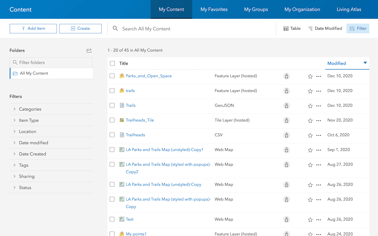
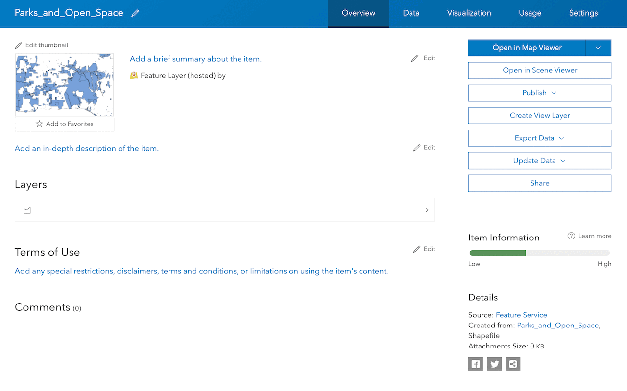
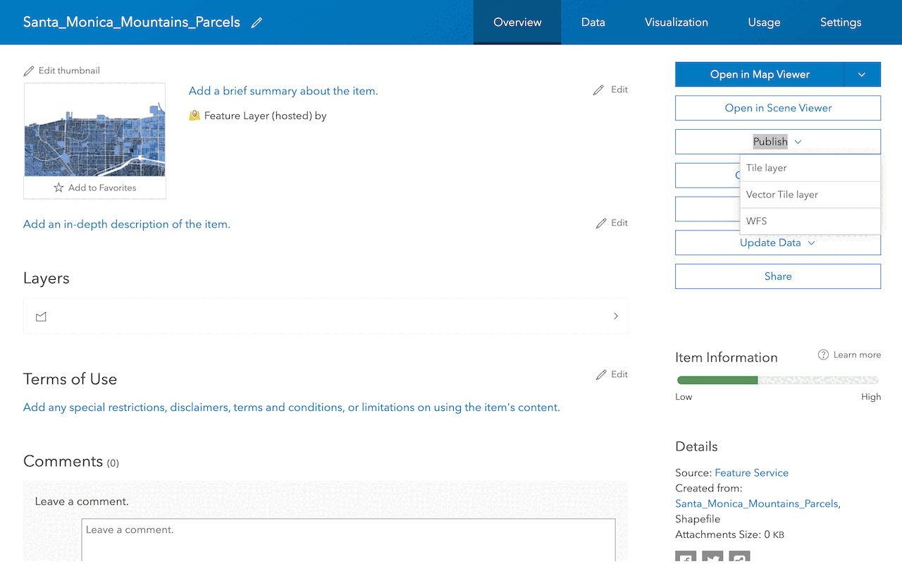
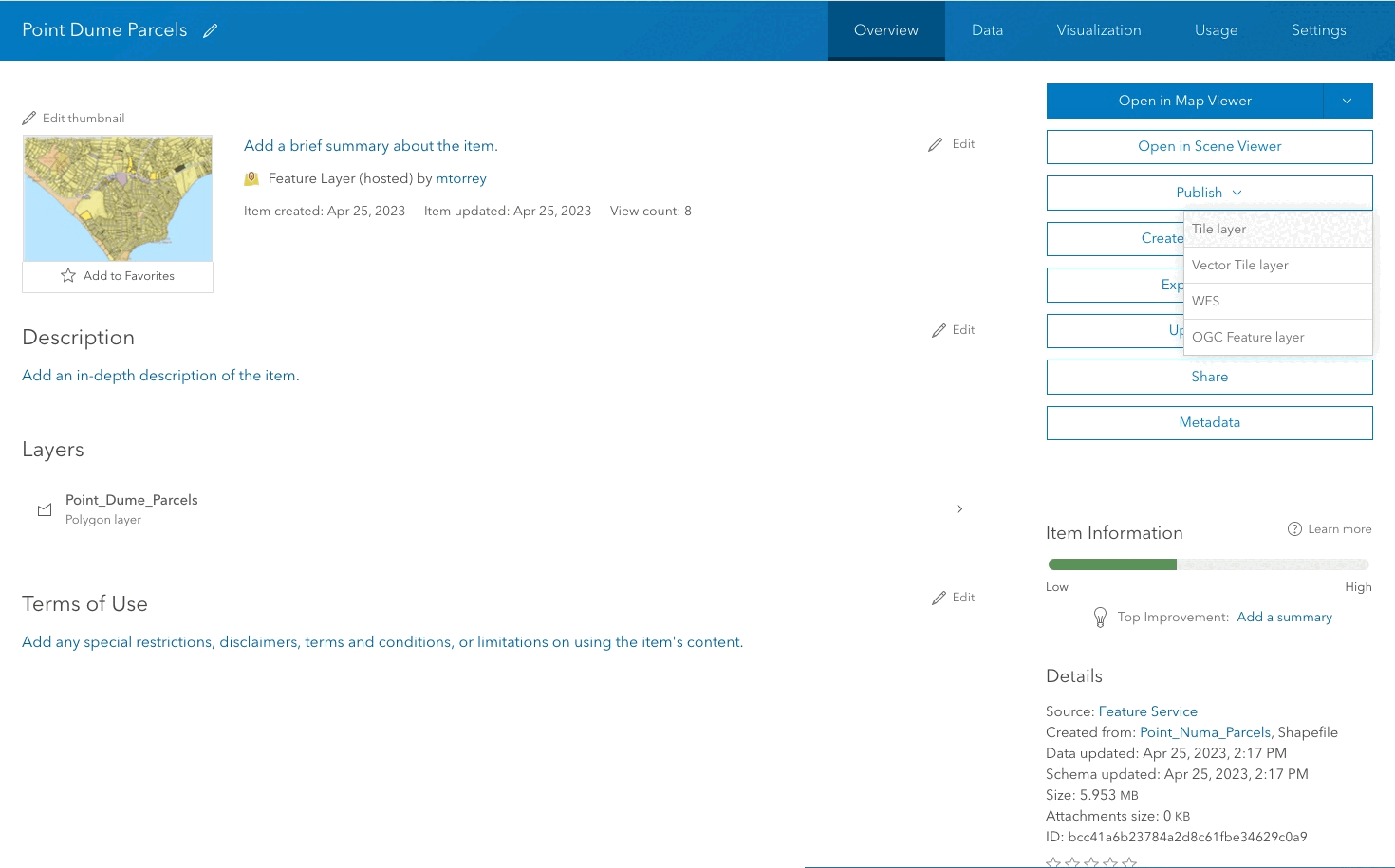
- Find the item.
- Use the item page to change the sharing setting.
Code examples
You can use data management tools to manage the sharing level of a hosted feature layer (item) or you can use ArcGIS APIs. The following examples illustrate how to set the sharing level of a hosted feature layer (item).
Set sharing to public
By default, the sharing level of a newly created item is set to private. Allow unrestricted access to the hosted layer (item) and data service. An access token is not required to access the service.
API
// Import the ArcGIS REST API module
const arcgisRestApi = require('@esri/arcgis-rest-portal');
// Set up the authentication credentials
const credentials = new arcgisRestApi.UserSession({
username: 'your_username',
password: 'your_password'
});
// Set up the item ID of the item you want to share
const itemId = 'your_item_id';
// Share the item to the public
arcgisRestApi.shareItem({
id: itemId,
username: credentials.username,
everyone: true,
authentication: credentials
})
.then(response => {
console.log('Item shared to the public successfully!');
})
.catch(error => {
console.error('Error sharing item to the public:', error);
});REST API
This sharing level is not available.
Change sharing level for an item
Use share (POST) as the item owner to edit your item's level of access. The sharing parameters are: everyone (accessible to the public), org, and groups. To perform this call, specify the item ID and set each parameter to a boolean (true or false) and, optionally, the group-id for sharing. When sharing is set to false, your item permissions are set as private.
API
// Import the ArcGIS REST API module
const arcgisRestApi = require('@esri/arcgis-rest-portal');
// Set up the authentication credentials
const credentials = new arcgisRestApi.UserSession({
username: 'your_username',
password: 'your_password'
});
// Set up the item ID of the item you want to update the sharing level for
const itemId = 'your_item_id';
// Set the sharing level to private for the item
arcgisRestApi.updateItem({
id: itemId,
username: credentials.username,
access: 'private',
authentication: credentials
})
.then(response => {
console.log('Sharing level set to private successfully!');
})
.catch(error => {
console.error('Error setting sharing level to private:', error);
});REST API
This sharing level is not available.
Tutorials
Import data to create a feature layer
Use data management tools to import files and create a feature layer in a feature service.
Define a new feature layer
Use data management tools to define and create a new empty feature layer in a feature service.
Manage a feature layer
Use a hosted feature layer item to set the properties and settings of a feature layer in a feature service.
Create a vector tile service
Use data management tools to create a new vector tile service from a feature service.
Create a map tile service
Use ArcGIS Online or scripting APIs to publish a map tile service.
Services
Feature service
Add, update, delete, and query feature data.
Vector tile service
Store and access vector tile data.
Map tile service
Store and access map tile data.
Image service
Store and access imagery and raster data.