Maintaining information in ArcGIS is important for data management and collaboration. You update the properties of content items, such as maps, layers, and applications, to ensure they remain relevant and configured. In this section, you will explore code examples for accessing and updating an item's properties.
What is an item
An item refers to a specific piece of content or data that is stored and managed in ArcGIS. Items can represent a wide variety of geospatial resources, such as maps, layers, applications, files, and data services.
Each item has a unique identifier, known as an item ID, and a set of properties that describe its purpose, content, and configuration. These properties include the item's title, description, tags, thumbnail, and access permissions, which help users discover, understand, and properly utilize the item.
Managing an item's details is an important step in publishing and sharing content in ArcGIS Online, as it ensures the item is easily findable and provides the necessary context for other users.
Item properties
The specific properties available depend on the item type and your permissions as the item owner or administrator. The properties that can be changed for an item include:
- Title
- Description
- Tags
- Thumbnail
- Terms of use
- Various configuration settings.
To change an item's properties, you can:
- Update the metadata such as
title,description,tags,thumbnail, andterms of usefor the item on the item's details page. - Manage the properties of any associated data services, such as the URL, layers, and source information for a feature layer.
- Edit the metadata for the item or individual sublayers.
- Configure additional settings like enabling delete protection, defining the geographic extent, or managing sharing and access permissions.
How to change item properties
The general steps to change the sharing properties are:
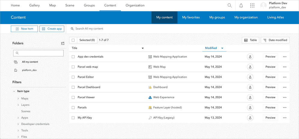
1. Access your content
Sign in to your portal and ensure that you have administrative privileges to manage content within your organization.
- ArcGIS portal (ArcGIS Location Platform or ArcGIS Online)
- ArcGIS Enterprise portal (ArcGIS Enterprise)
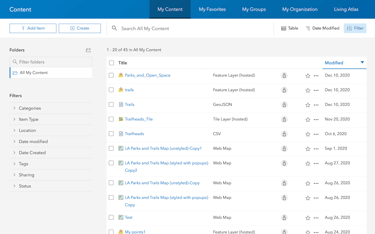
2. Select the item
To find and select an item, you can follow one of these methods:
- Use the search bar at the top of the page to enter keywords related to the item you are looking for.
- Browse through your content by clicking on the Content tab on the top navigation bar.
- Filter your content by type, owner, or other criteria to locate the specific item more efficiently.
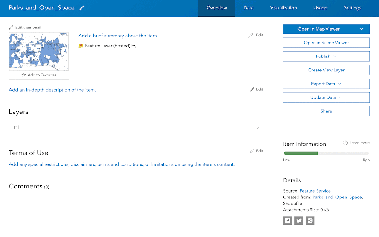
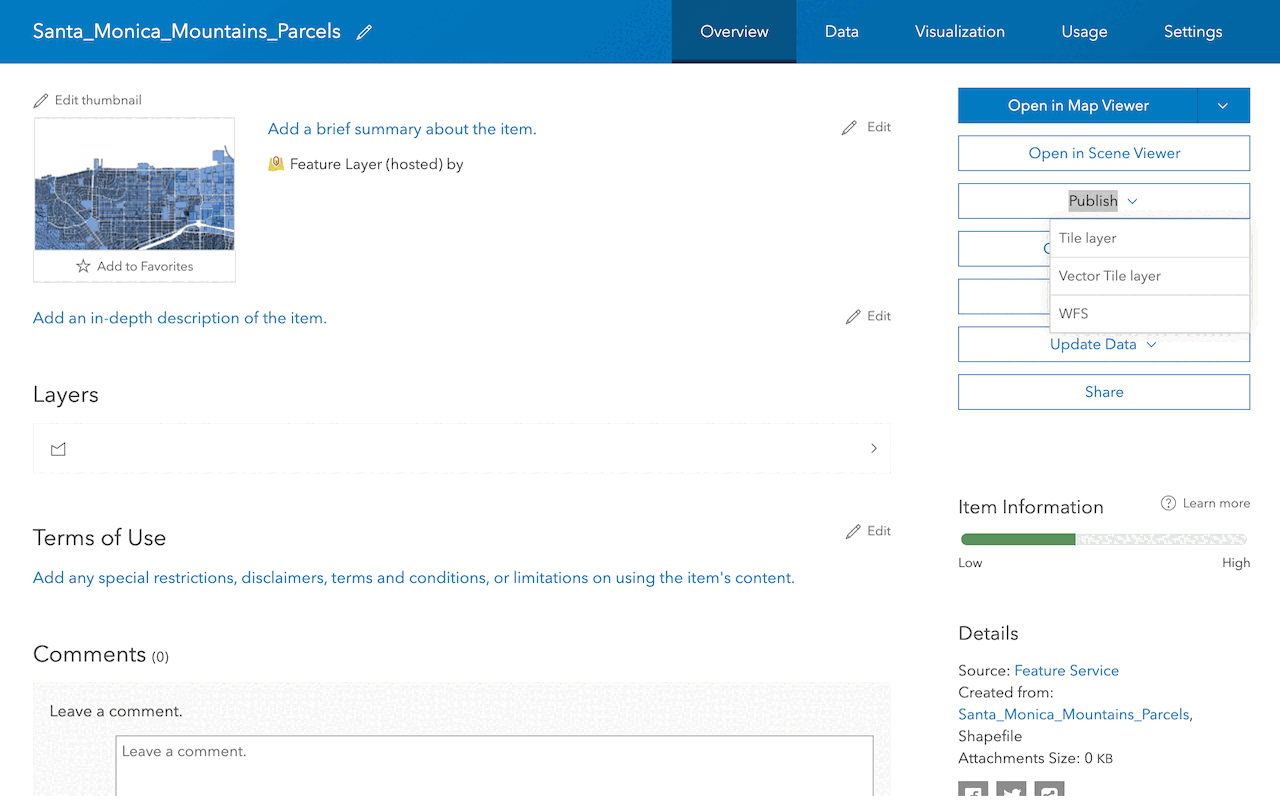
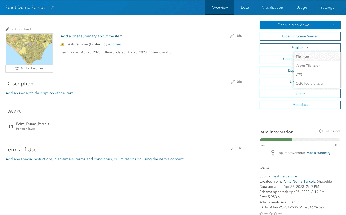
Once you find the item, click on it to open its details page, where you can view its properties and perform various actions.
3. Change item properties
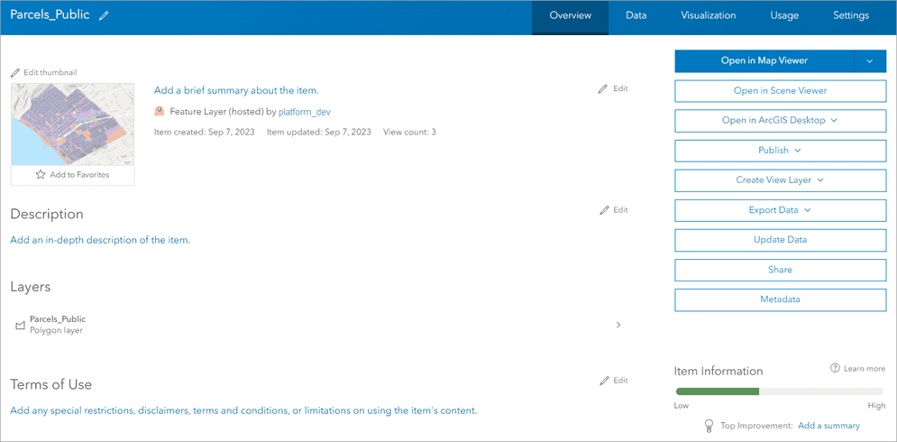
Use the item page to change the item properties. Yo ucan update the metadata such as title, description, tags, thumbnail, and terms of use on the item's details page.
Examples
To change an item's properties in ArcGIS Location Platform, ArcGIS Online, and ArcGIS Enterprise, you can follow these steps below.
Tool
The key is to use the item page to access and update the various properties associated with the content item.
-
Log in using your account and navigate to the item you want to modify.
-
On the item's details page, click the Edit button next to the property you want to change, such as the
title,description,tags,thumbnail, orterms of use. -
Update the property with the new information you want to set, then click Save to apply the changes.
- If the item references a data service like a feature layer, you can also manage the service properties such as the
URL,layers, andsource information. These are read-only but can be useful for finding the underlying data details.
- If the item references a data service like a feature layer, you can also manage the service properties such as the
API
item.title = "New Title";
item.description = "Updated description for the item.";
item.tags = ["new", "tags", "for", "the", "item"];
item.thumbnail = "path/to/new/thumbnail.jpg";
item.access = "public"; // or "private", "org", etc.
// Save the changes
Tutorials
Import data to create a feature layer
Use data management tools to import files and create a feature layer in a feature service.
Define a new feature layer
Use data management tools to define and create a new empty feature layer in a feature service.
Manage a feature layer
Use a hosted feature layer item to set the properties and settings of a feature layer in a feature service.
Create a vector tile service
Use data management tools to create a new vector tile service from a feature service.
Create a map tile service
Use ArcGIS Online or scripting APIs to publish a map tile service.
Services
Feature service
Add, update, delete, and query feature data.
Vector tile service
Store and access vector tile data.
Map tile service
Store and access map tile data.
Image service
Store and access imagery and raster data.
API support
Use data management tools or Client APIs to create, manage, and access data services. The table below outlines the level of support for each API.
- 1. Use portal class and direct REST API requests
- 2. Access via ArcGIS REST JS
- 3. Requires manually setting styles for renderers