What is search?
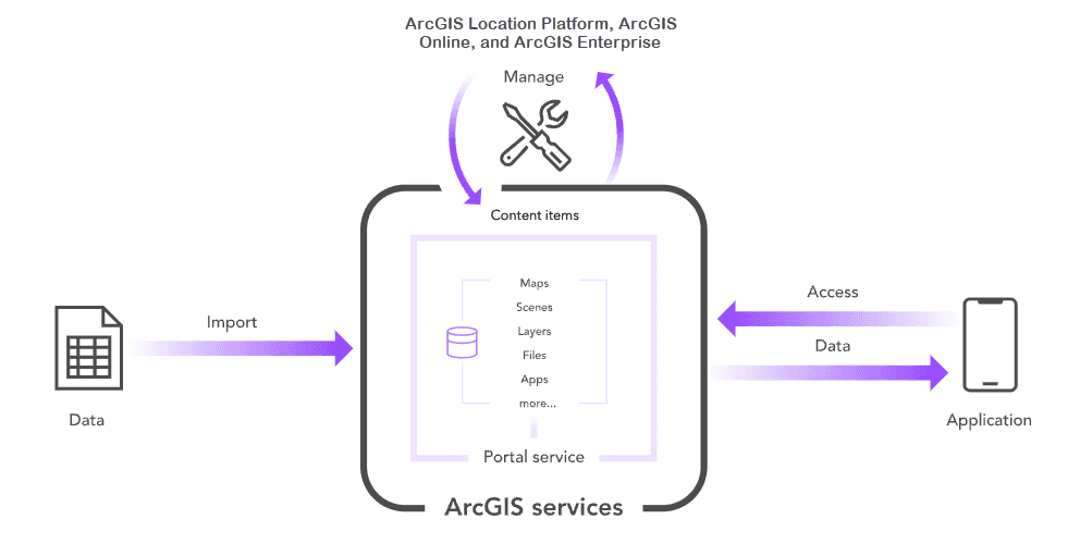
In ArcGIS Online and ArcGIS Enterprise, the search capability is a tool that allows you to discover, locate, and access a wide range of geographic content. This includes maps, layers, web apps, datasets, and more. The search feature enables you to find relevant items based on specific criteria, making it an important component to navigating and exploring content in ArcGIS Online or ArcGIS Enterprise.
What can I search for?
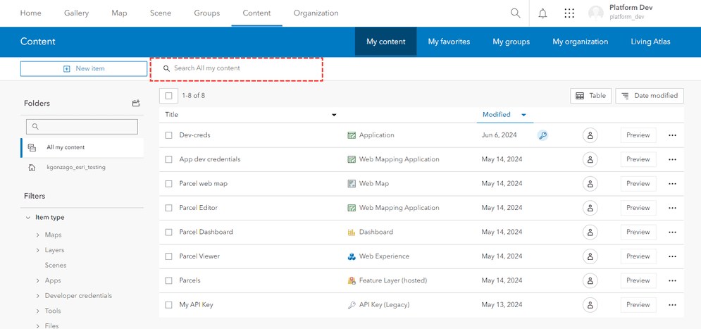
You can use the portal service to search for items. Item search is the process of querying the portal service to find users, groups, or different types of content such as maps, scenes, layers, files, services, or apps from templates and builders.
You can use content search to:
- Search for public or private items.
- Find different types of items.
- Sort search results.
- Return pages of search results.
How to get started
To search for items, you make an HTTPS request to the portal service and use the search operation. The search operation supports a query string with fields, and operators, such as AND, OR, and NOT. You can perform an open search for text using the default fields or you can search for text in specific fields such as the title, description, or tags. You can also specify a location to search near, or a bounding box to search in by defining the bbox parameter.
The general steps to search for items are:
- Define the URL to the portal service:
https.://www.arcgis.com/sharing/rest/search - Provide the text for your search. For example, "Streets", or "Elevation level".
- Define the item type for your search. For example,
Web MaporFeature Service. - Set the sort order for your return results.
- Any additional fields, such as tags, date created, or last modified.
Tutorials
Sign in and access your portal
Use the portal service to sign in and access your portal.
List items in your portal
Use the portal service to list items in your portal.
Services
API support
- 1. Limited operations, use HTTP requests.
- 2. Access via ArcGIS REST JS.