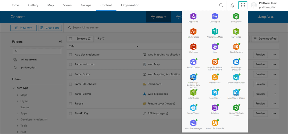
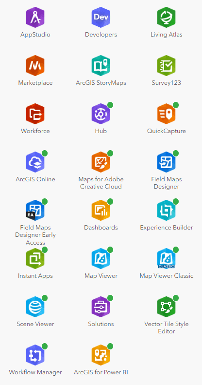
A portal supports many different types of applications that allow you to create, share, and interact with maps and geospatial data. The applications are accessed through the Apps tool. The main categories of apps are:
App builders
You can create interactive web applications to share your maps and data with others using ArcGIS app builders. You can create and configure these web apps without coding.
- ArcGIS Instant Apps: Create focused, mobile-friendly mapping apps from their data using configurable templates.
- ArcGIS Dashboards: Create web apps with interactive data visualizations and dashboards with maps, charts, gauges, and other elements to monitor events, make decisions, and convey information using geographic data.
- ArcGIS Story Maps: Create web apps to show interactive multimedia stories and presentations by combining maps, text, images, videos, and other content to convey information in a visually engaging and narrative format.
- ArcGIS Experience Builder: Create interactive web experiences by combining maps, data, multimedia content, and configurable widgets through a flexible drag-and-drop interface without coding.
Mobile
Your portal includes mobile apps for iOS, Android, and Windows devices that allow you to take GIS capabilities into the field. The main mobile apps are:
- ArcGIS Field Maps: For mobile data collection and editing.
- ArcGIS Survey123: For creating surveys.
- ArcGIS Workforce: For coordinating teams and assigning work.
- ArcGIS Navigator: For navigation and routing.
Maps and scenes
You can create 2D and 3D maps using these apps:
-
Map viewer: Create, explore, and save web maps by defining basemaps, layers, styles, pop-ups, and labels. You can also perform spatial analysis and create data-driven visualizations.
-
Scene viewer: Create, explore, and save web scenes by combining various 2D and 3D layers, configuring layer properties, applying visualization effects, and sharing scenes as web apps.
Basemap styling
Vector Tile Style Editor (VTSE) is a web-based application that allows users to create, edit, and save custom basemap styles for vector tile layers. Interactively design and customize the appearance of individual layers such as land, water, and buildings. Apply pre-defined themes or use the quick editor to style multiple layers simultaneously with a consistent look and feel.