What are mapping tools?
Mapping tools are applications in a portal that you can use to create, visualize, analyze, and prepare geospatial content and data for your applications. They allow you to save content in your portal such as web maps, web scenes, and hosted layers. You can create web maps by adding layers, customizing symbology, and configuring pop-ups. These tools support various data formats and offer functionalities for spatial analysis, such as buffering and hotspot analysis. Users can use basemaps, perform real-time data editing, and share maps through web apps, dashboards, and story maps.
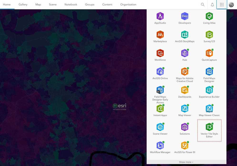
The three main mapping tools in a portal are Map Viewer, Scene Viewer and Vector Tile Style Editor.
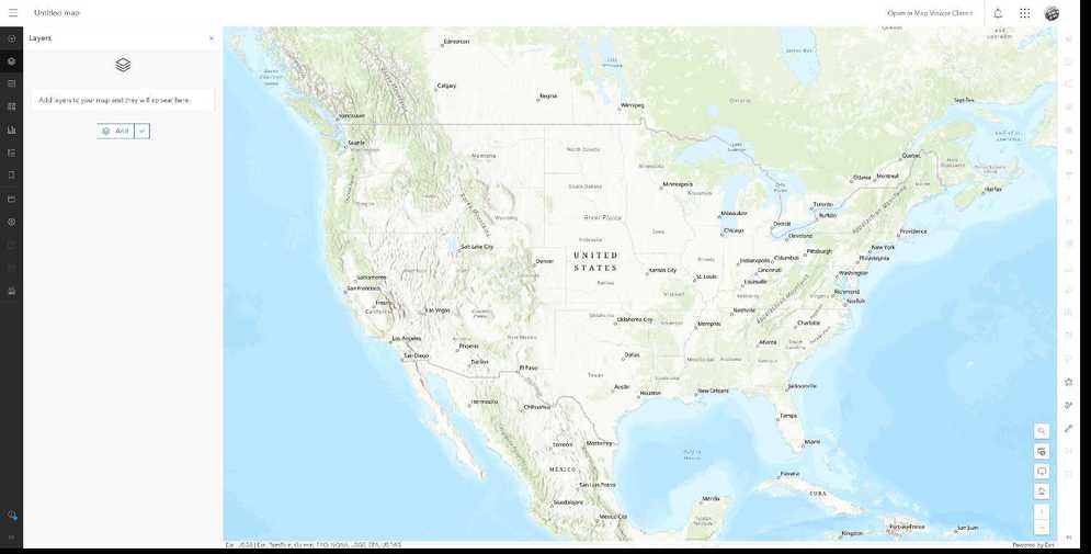
Map Viewer
Map Viewer is a web mapping tool that allows you to create, explore, style, and share web maps. Here are some key features and capabilities:
- Map Authoring and exploration: Create new web maps, explore and visualize data, and navigate maps using pan, zoom, rotate, and bookmarks.
- Layer Management: Manage properties of map layers, access layer styling tools to customize properties symbology, and apply smart mapping styles like dot density and heat maps.
- Data Visualization: View and interact attribute in charts, filter and cluster point features for better visualization, and Create data-driven visualizations using charts like bar charts and scatter plots.
- Mapping Tools: Search and locate places on the map, measure distances and areas, and view time-enabled data animations.
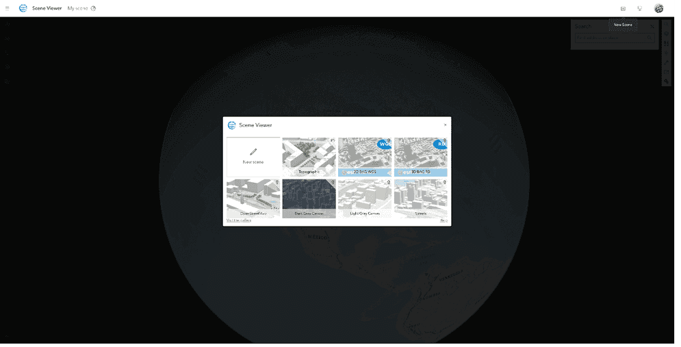
Scene Viewer
Scene Viewer is a web-based tool that allows you to create, explore, and share interactive 3D web scenes. Here are the key features and capabilities:
- 3D Scene Authoring: Create new web scenes, define basemaps and configure layer styles in 3D, and render realistic 3D visualizations of buildings, cities, and terrain features.
- 3D Data Visualization: Display and interact with 3D data like buildings and infrastructure models, visualize global and local scenes for different use cases like urban planning and environmental analysis, and utilize smart mapping styles like heat maps and dot density in a 3D environment.
- Interactive Scene Exploration: Navigate scenes using pan and zoom tools, explore data with pop-ups displaying attributes and charts, and use tools like measurement, daylight simulation, weather effects, elevation profiles, and slicing planes.
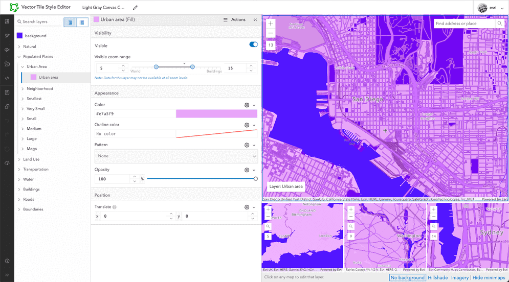
Vector Tile Style Editor
Vector Tile Style Editor (VTSE) is a web-based application that allows users to create, edit, and save custom basemap styles for vector tile layers. You can interactively design and customize the appearance of individual layers such as land, water, and buildings. You can also apply pre-defined themes or use the quick editor to style multiple layers simultaneously with a consistent look and feel.