Spatial analysis allows you to discover patterns, find trends, and gain insights into your geospatial data. As a developer, you can use client and server APIs and tools to build your own custom spatial analysis applications. You can use ArcGIS Maps SDKs to perform client-side analysis such as buffering or 3D visual analysis such as calculating viewsheds. You can also perform advanced server-side analyses by using the spatial analysis service to process large feature datasets or the raster analysis service to process satellite and remotely sensed raster data. To help prepare data and perform preliminary analyses, you can use tools such as Map Viewer and ArcGIS Pro.
What's in this guide

Learn how to perform spatial analysis
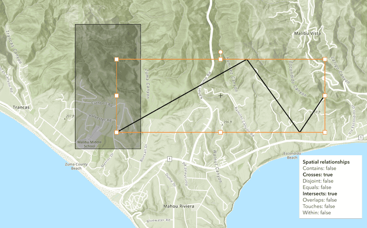
Geometry analysis
Client-side analyses on point, polyline, and polygon geometries.
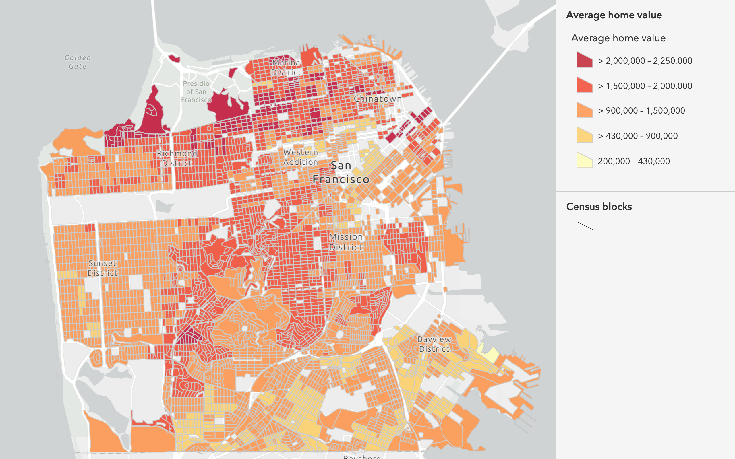
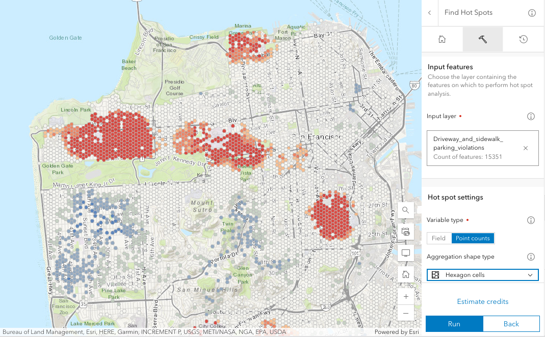
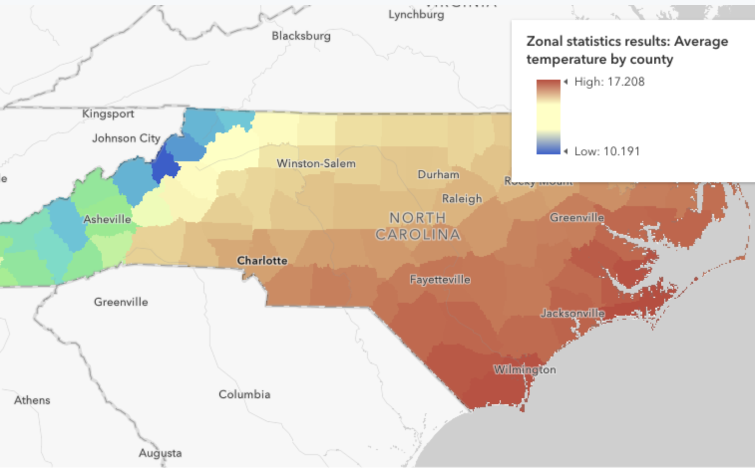
Feature analysis
Server-side analyses on feature data to find relationships and patterns.
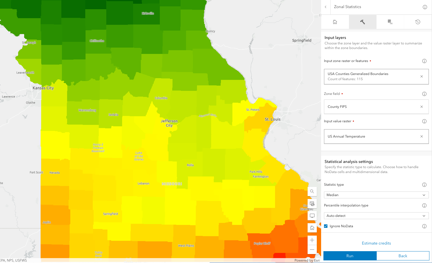
Raster analysis
Server-side and client-side analyses on raster data.
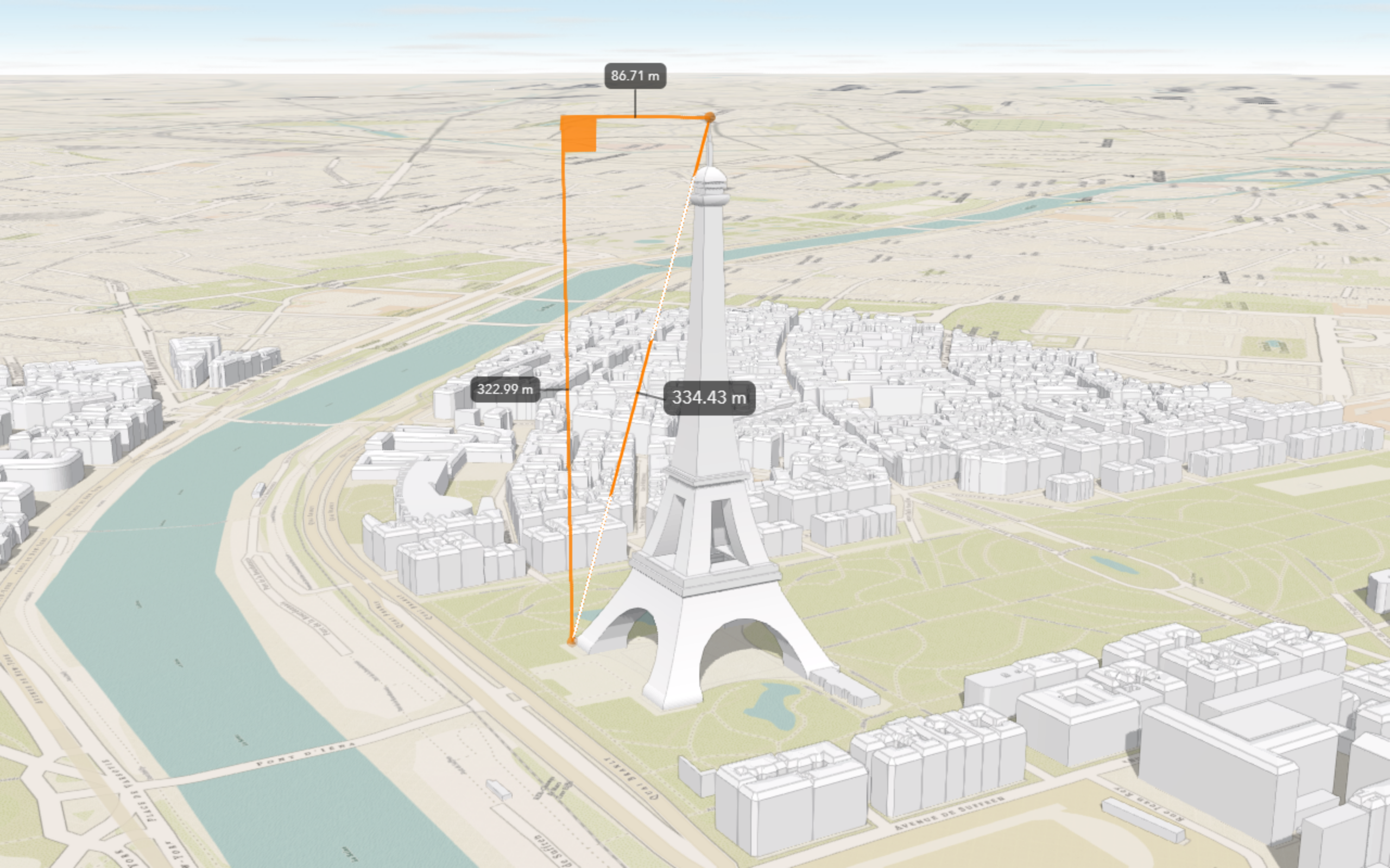
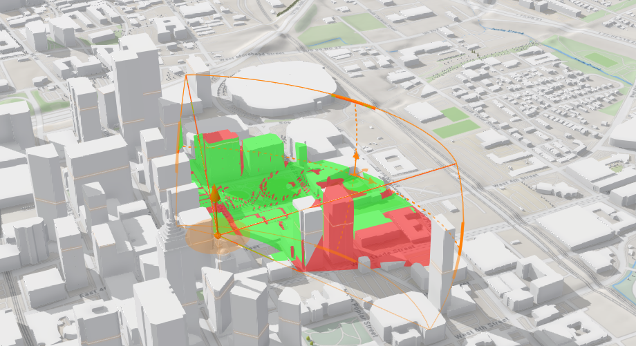
3D visual analysis
Client-side 3D analysis on terrain and objects.