What is raster analysis?
Raster analysis is the process of using client-side APIs or services to solve a geospatial problem with raster data. To perform client-side analysis you can use the ArcGIS Maps SDKs and to perform server-side analysis you use the raster analysis service. When using the raster analysis service you can use operations or functions to perform analysis such as detecting patterns, data classification, deep learning analysis, data summarization, multidimensional analysis and raster data management. The operation you use depends on the type of problem you are trying to solve.
This section describes how to perform analysis with the raster analysis service.
Why use raster analysis service?
The raster analysis service provides the functionality to perform quantitative analysis, modeling, and visualization of continuous geographic phenomena. It is particularly well-suited for analyzing phenomena like elevation, slope, aspect, chemical concentrations, and other variables that can be represented as a continuous raster surface.
Use the raster analysis service to:
- Perform operations like overlay analysis, neighborhood operations, and map algebra.
- Process large raster datasets.
- Classify land cover.
- Perform change detection.
- Perform suitability mapping and site selection.
How to access the raster analysis service
You can use the raster analysis service using tools and ArcGIS APIs. When accessing the service with tools such as Map Viewer or ArcGIS Pro, or with ArcGIS APIs such as the ArcGIS API for Python, the system will automatically find the appropriate service URL based on your ArcGIS account and portal.
To access the service directly, you need find the service URL by making a /self request to your portal. The service URL will be in the helper property of the response. To optimize performance, service URLs are unique to each instance of a portal.
"helperServices":{
"rasterAnalytics": {
"url": "https://{YOUR_ANALYSIS_SERVICE}/arcgis/rest/services/RasterAnalysisTools/GPServer"
},
}Example: https://rasteranalysis3.arcgis.com/arcgis/rest/services/RasterAnalysisTools/GPServer
What are the different ways to perform an analysis?
There are two different methods you can use to perform a raster analysis.
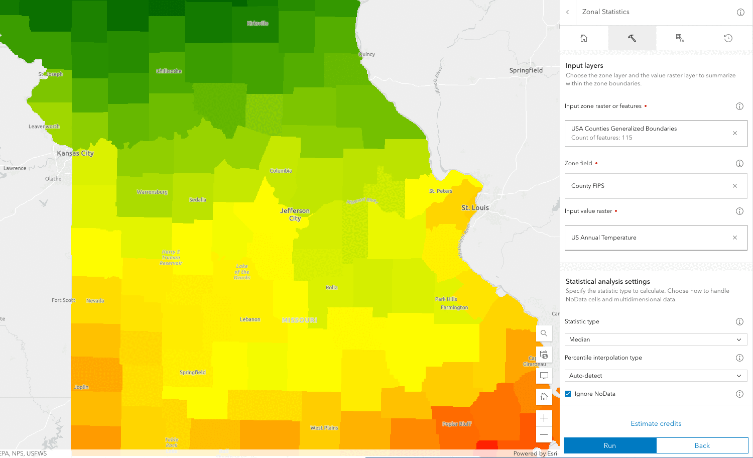
- Raster operations: This method of analysis requires a asynchronous server-side request to an REST API endpoint to perform a single raster operation applied to an entire raster dataset. Typically, this results in a new raster dataset.
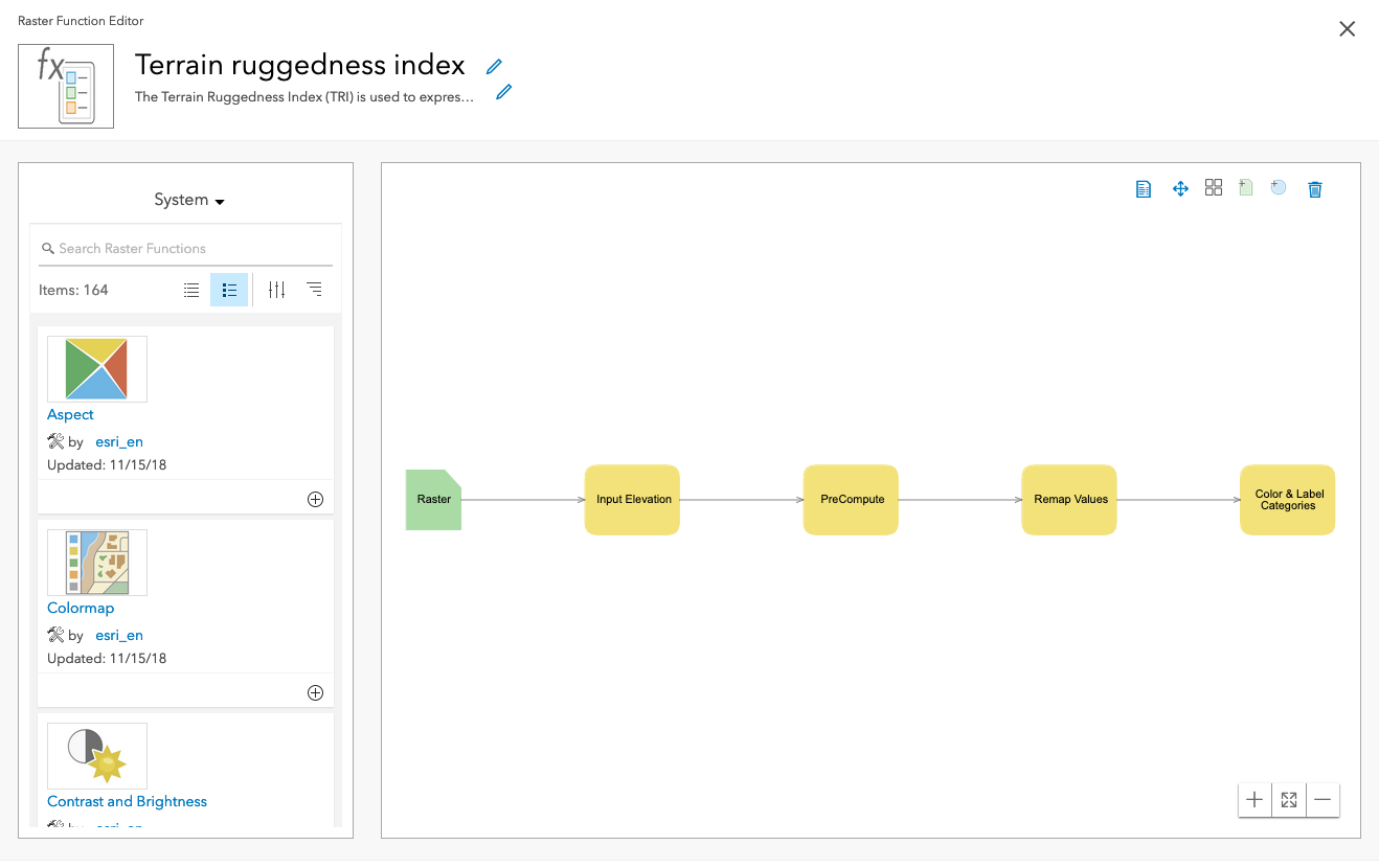
- Raster functions: This method of analysis allows you to chain together multiple operations in a request without the need of creating intermediate datasets. Raster Functions can also be utilized to perform client-side analysis and on-the-fly visualization using client APIs.
Tutorials

Perform an analysis using raster operations

Create a raster function template
API support
- 1. Access with geoprocessing task
- 2. Access via ArcGIS REST JS