What is raster data?
Images and raster data represent measurements of reflected or emitted electromagnetic energy captured by a sensor on a drone, airplane, or satellite. Other types of imagery and raster data include scientific measurements of a location's properties, such as temperature and salinity at different water depths, elevation models, and seismic surveys.
For an overview of types and uses of raster data go to Introduction to raster data
How to prepare raster data
The different ways to find or create input data for raster analyses are listed below:
-
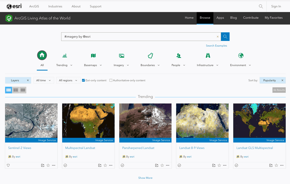
Find existing data: You can use existing data sources hosted in ArcGIS as input for analyses. The data sources need to be in the format of a hosted imagery layer or table. For example, you can use hosted imagery layers such as USA Average Wind Speed Tiled imagery or the Sentinel-2 Views Imagery layer.
Below is a list of resources that you can use to search for input data for analyses:
-
Import data: If you have existing raster data, you can use developer tools to import the data and create your own hosted imagery layers for analyses. You can import common image formats such as JPG, JPEG, PNG, and TIFF/TIF. Once your data is hosted, the imagery layer can be used as input for raster analysis using tools or APIs.