What are raster operations?
A raster operation, also known as a task or geoprocessing operation, is a web service endpoint designed to work with raster data. Raster operations allow you to run a specific analytical process on a raster dataset like classification, change detection, terrain analysis, spatial interpolation and more. Performing a raster operation results in the creation of a new raster dataset.
You can use raster operations to:
- Classify pixels into categories, such as land cover types or water features.
- Compare raster datasets from different time intervals to detect, identify and quantify change, such as urban sprawl or vegetation loss.
- Calculate terrain attributes like aspect, slope or hillshade.
- Create elevation models to predict variables such as temperture or precipitation.
- Predict habitat suitablity for conservation planning or wildlife management.
- Predict flood risk for emergency response planing, floodplain management and infrustructure development.
- Assess and manage natural resources like forests, water bodies and agricultural land.
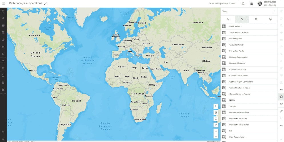
What raster operations are available?
The raster analysis service contains a number of operations that you can access and use in your applications. These operations are grouped by category by the type of analysis they perform:
For a list of all the raster operations supported by the raster analysis service, go to Types of raster operations
How to perform a raster operation request
The general steps to perform an analysis with a raster operation are:
- Get your raster analysis service URL.
- Identify the operation you would like to perform.
- Provide the input parameter values.
- Make the request.
- Handle the results.
Example
This example shows how to perform a Summarize raster operation request using the raster analysis service.
Request
curl "{YOUR_RASTER_ANALYSIS_SERVICE_URL}/SummarizeRasterWithin/submitJob" \
-H "Content-Type: application/x-www-form-urlencoded" \
-d "token={access_token}" \
-d "f=json" \
-d "zoneField=COUNTY_FIPS" \
-d "outputName={"serviceProperties": {"name": "Summaize_within_rest_api","capabilities": "Image, TilesOnly"},"itemProperties": {"description": "output generated from the summarizeRasterWithin operation in postman","title": "Summarize raster within"}}" \
-d "statisticType=Mean" \
-d "inputZoneLayer={"url":"https://services.arcgis.com/P3ePLMYs2RVChkJx/arcgis/rest/services/USA_Census_Counties/FeatureServer/0","filter":"STATE_NAME = 'Alabama'","itemId":"14c5450526a8430298b2fa74da12c2f4"}" \
-d "inputRasterLayerToSummarize={"url":"https://tiledimageservices3.arcgis.com/GVgbJbqm8hXASVYi/arcgis/rest/services/US_Annual_Temperature/ImageServer"}"
Response
{
"jobId": "{JOB_ID}",
"jobStatus": "esriJobNew"
}