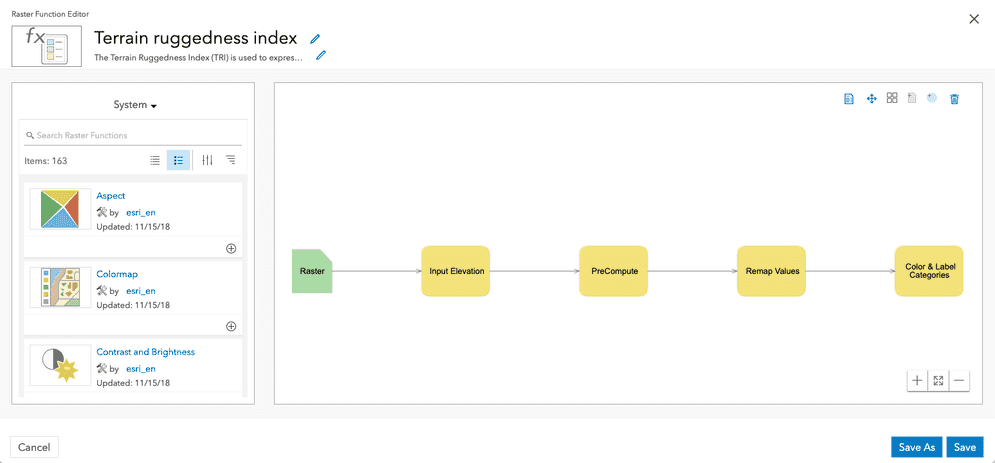
The Raster Function Editor is a visual programming interface in ArcGIS that allows you to build and customize raster analysis workflows.
What can you do?
- Chain together sequences of raster functions, where the output of one function serves as the input to the next function.
- Add raster functions, raster variables, scalars, raster layers, and other data types to the diagram, and connect them to perform complex raster analysis.
- Save diagrams as raster function templates (RFTs) to share with other members of your organization.
- RFTs can be shared and used across ArcGIS products like ArcGIS Pro, ArcGIS Online, Portal for ArcGIS as well as through Client APIs.
- Preview results of the function change before generating new output datasets.
- Iteratively check and modify function parameters, rename functions/variables for clarity, and organize the layout of the processing diagram.
Get started
To create and save Raster Function Templates with the Raster Function Editor, you need an ArcGIS Online or an ArcGIS Enterprise account, with a role of Creator. If you do not have an account, sign up now for a free trial.
Steps
- Sign in to your portal.
- In the Content menu, click on New item > Raster function template.
- Try this tutorial:
Other resources
ArcGIS Pro: Raster Function Editor