This sample illustrates how to develop a REST server object extension (SOE) with a new spatial query operation. The spatial query operation returns all the features of a map service layer that fall within the user-defined search distance of a location point.
Deploying the SOE from the .soe file (../findnearbyfeaturesrestsoe/target/findnearbyfeaturesrestsoe.soe) does not require you to open a Java IDE. However, you can open the project (../findnearbyfeaturesrestsoe) in a Java IDE, such as Eclipse or IntelliJ, to debug, modify, and recompile the SOE code.
Features
- ServerUtilities.createOperation()
- ServerUtilities.createResource()
- SpatialFilter
- IMapServer.QueryData()
Sample data
This sample uses the Veg map service as the sample service to test with the SOE.
Instructions
Deploy the SOE
- Log in to ArcGIS Server Manager and click the Site tab.
- Click Extensions.
- Click Add Extension.
- Click Choose File and choose the findnearbyfeaturesrestsoe.soe file (
../findnearbyfeaturesrestsoe/target/findnearbyfeaturesrestsoe.soe). - Click Add.
Enable the SOE on a map service
- Make sure you have published the Veg map service using ArcGIS Pro. If not, refer to Veg map service
- Log in to ArcGIS Server Manager and click the Services tab. Select Veg map service and select Capabilities.
- In the list of available capabilities, find Java Find Nearby Features REST SOE and check the box to enable it.
- Click the Save and Restart button to restart the service.
Test the SOE in the ArcGIS Server Services Directory
-
Open a browser and navigate to the REST services endpoint of the Veg map service (URL:
http://<serverdomain>/<webadaptorname>/rest/services/Veg/MapServer). -
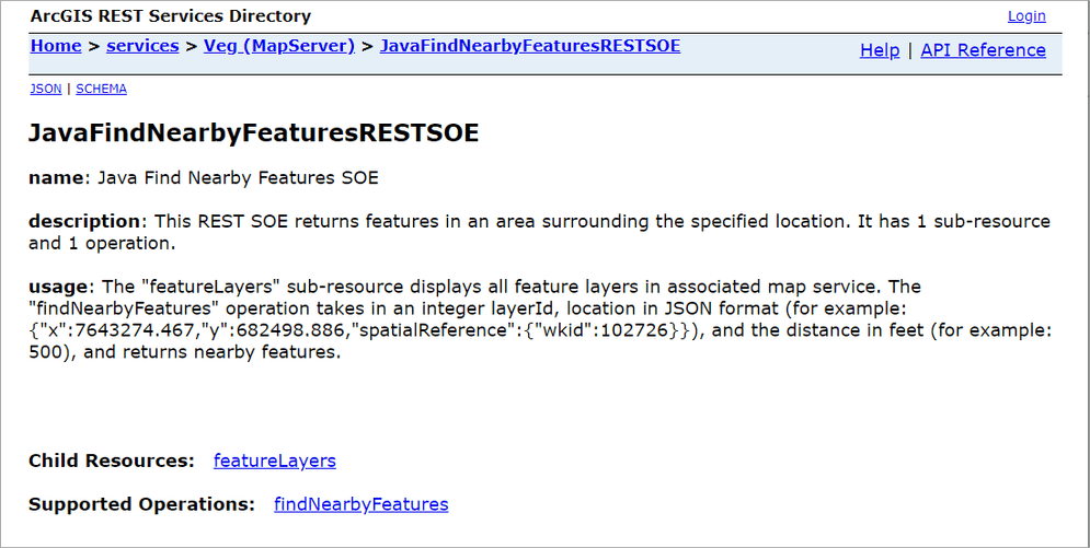
Scroll to the bottom of the above page and click JavaFindNearbyFeaturesRESTSOE in Supported Extensions.
This leads to the SOE's root page, at the following URL:
http://<serverdomain>/<webadaptorname>/rest/services/Veg/MapServer/exts/JavaFindNearbyFeaturesRESTSOE
-
Click the featureLayers child resource to test the child resource response.
-
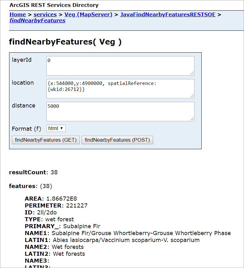
Navigate back to the SOE's root page and click findNearbyFeatures in Supported Operations.
Type
0in the layerId input box,{x:544000,y:4900000, spatialReference:{wkid:26712}}in the location input box, and50000in the distance box. This indicates the spatial query is performed within 5000 meters of the location point (x:544000, y:4900000) for the first layer. Click the findNearFeatures button. You will see the JSON of 38 features returned.