This sample illustrates how to apply a watermark to every image returned from the Export Map operation on a map service.
Deploying the SOI from the .soe file (..\bin\Release\NetApplyWatermarkSOI_ent.soe) does not require you to open Visual Studio. However, you can load the project (..\NetApplyWatermarkSOI.csproj) in Visual Studio to debug, modify, and recompile the SOI code.
Features
- Postprocess REST response
- OutputFormat
Sample data
Any dynamic map service published from ArcGIS Pro. This instruction uses the USA map service as the sample service to test with the SOI.
Instructions
Deploy the SOI
- Log in to ArcGIS Server Manager and click the Site tab.
- Click Extensions.
- Click Add Extension.
- Click Choose File and choose the NetApplyWatermarkSOI_ent.soe file (
..\bin\Release\NetApplyWatermarkSOI_ent.soeor..\bin\Debug\NetApplyWatermarkSOI_ent.soe). - Click Add.
Enable the SOI on a map service
- Make sure you have published the USA map service using ArcGIS Pro. If not, refer to USA map service
- Log in to ArcGIS Server Manager and click the Services tab. Select USA map service and select Capabilities.
- In the Interceptors section, select DotNet Apply Watermark Sample SOI in the Available Interceptors box and click the right arrow button to move it to Enabled Interceptors.

- Click the Save and Restart button to restart the service.
Test the SOI
-
Open a browser and navigate to the REST services endpoint of the USA map service (URL:
http://<serverdomain>/<webadaptorname>/rest/services/USA/MapServer). -
Scroll to the bottom of the above page and click Export Map in Supported Extensions.
This leads you to the following URL:
http://<serverdomain>/<webadaptorname>/rest/services/USA/MapServer/export?bbox=-178.85719640187426,13.522152002873426,-56.484036397641795,81.72479317856566 -
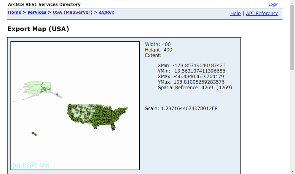
The watermark (c) ESRI Inc. will appear at the bottom left corner of the exported image.

-
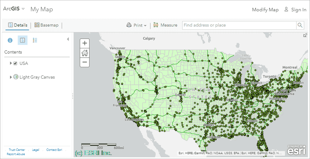
Try viewing this service in ArcGIS JavaScript application or ArcGIS Online Map Viewer, and you will see the watermark is always applied:
