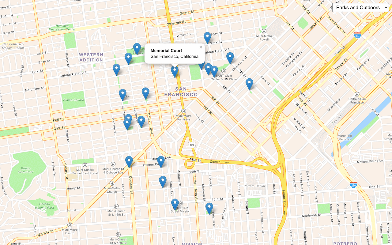
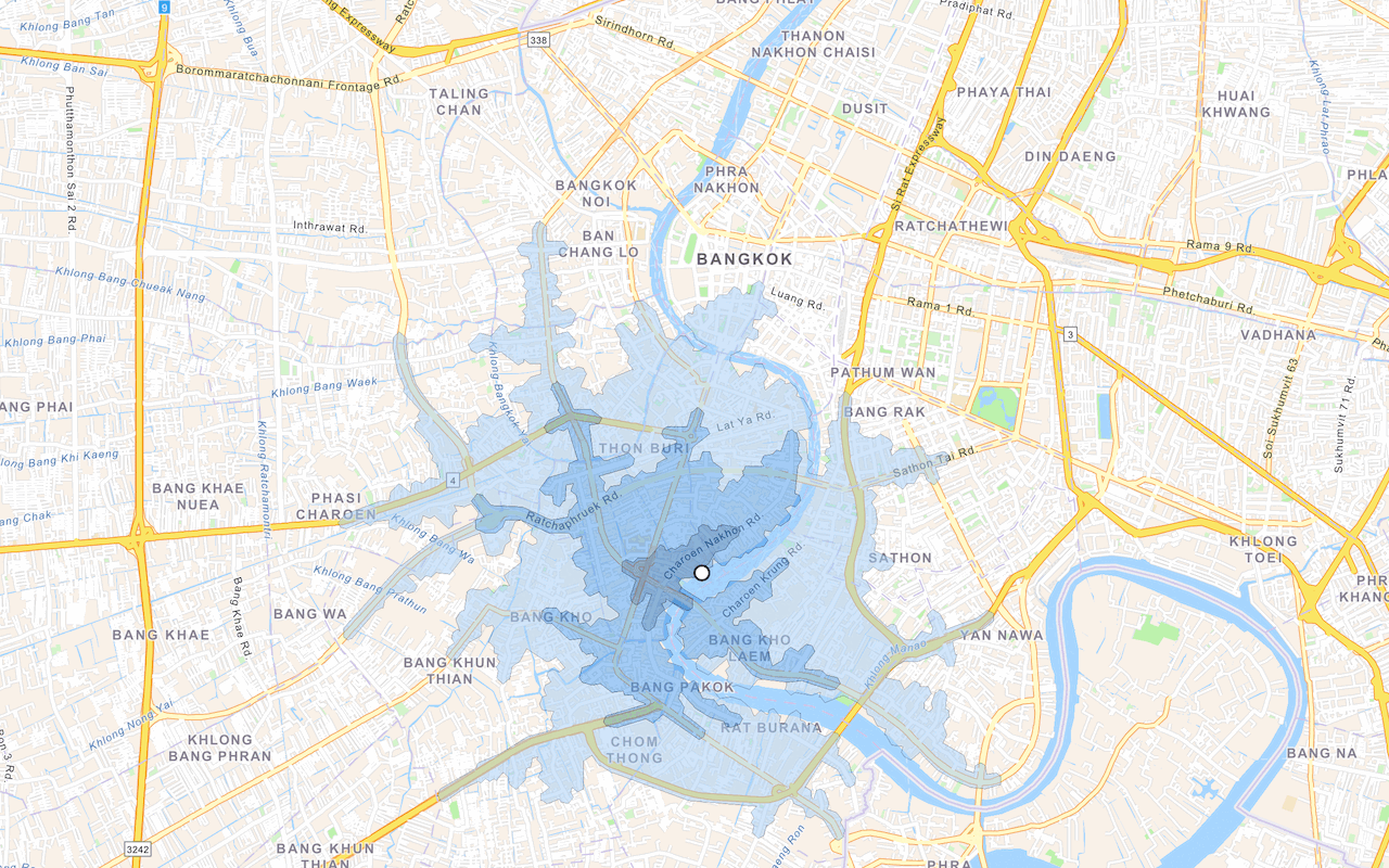
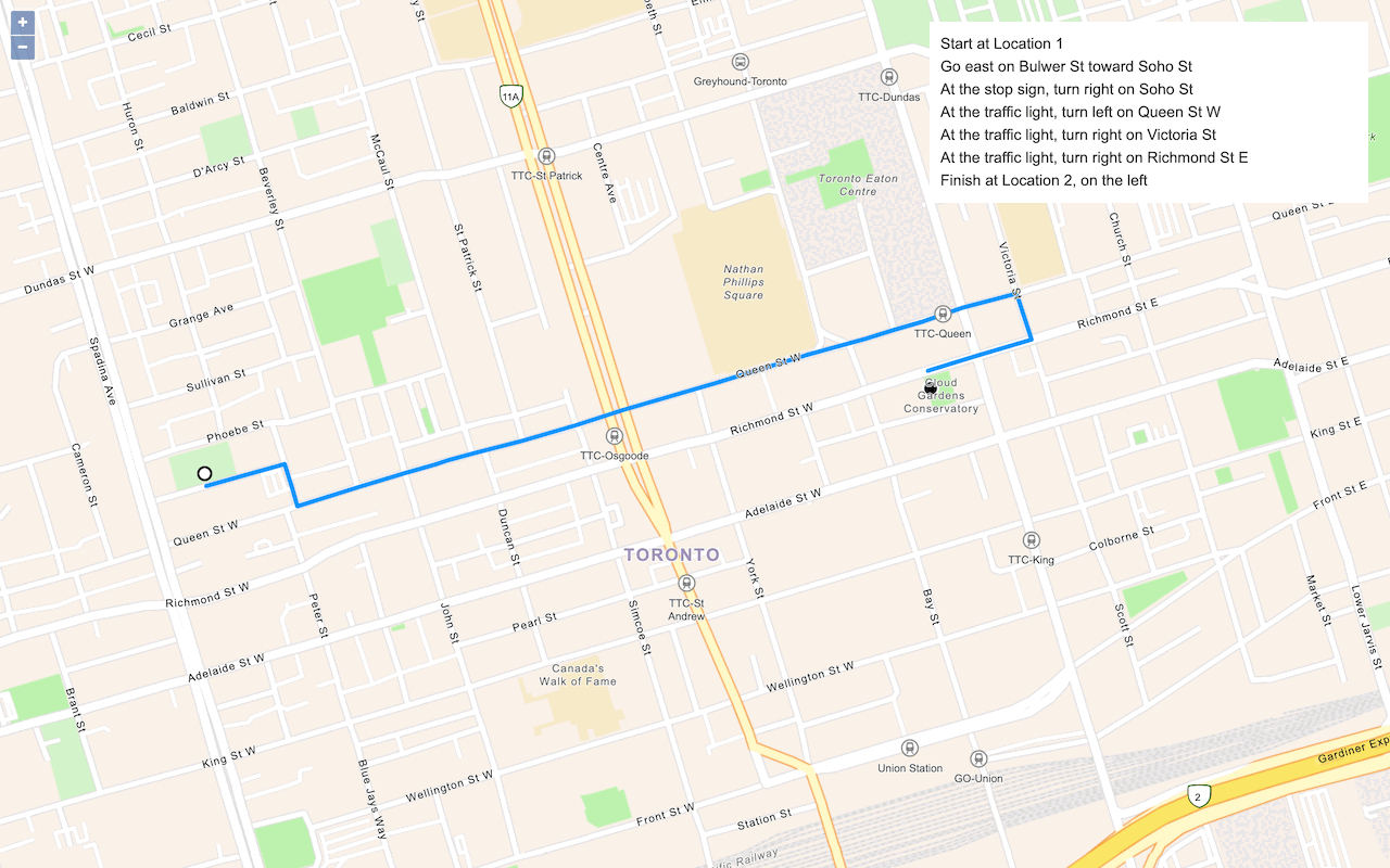
Learn how to convert coordinates to addresses with the geocoding service.
Reverse geocoding is the process of converting a location to an address or place. To reverse geocode, you use the geocoding service and the reverse operation. This operation requires an initial location and returns an address with attributes such as place name and location.
Esri Leaflet provides a geocoder to access the geocoding service. In this tutorial, you use the reverse operation to reverse geocode and find the closest address to your clicked location on the map.
Prerequisites
An ArcGIS Location Platform or ArcGIS Online account.
Steps
Get the starter app
Select a type of authentication below and follow the steps to create a new application.
Set up authentication
Create developer credentials in your portal for the type of authentication you selected.
Set developer credentials
Use the API key or OAuth developer credentials so your application can access location services.
Reference the geocoder
-
Reference the Esri Leaflet Geocoder plugin.
Use dark colors for code blocks <!-- Load Leaflet from CDN --> <link rel="stylesheet" href="https://unpkg.com/leaflet@1.9.4/dist/leaflet.css" crossorigin="" /> <script src="https://unpkg.com/leaflet@1.9.4/dist/leaflet.js" crossorigin=""></script> <!-- Load Esri Leaflet from CDN --> <script src="https://unpkg.com/esri-leaflet@3.0.14/dist/esri-leaflet.js"></script> <script src="https://unpkg.com/esri-leaflet-vector@4.2.7/dist/esri-leaflet-vector.js"></script> <!-- Load Esri Leaflet Geocoder from CDN --> <script src="https://unpkg.com/esri-leaflet-geocoder@3.1.4/dist/esri-leaflet-geocoder.js"></script>
Update the map
A navigation basemap layer is typically used in geocoding and routing applications. Update the basemap layer to use arcgis/navigation.
-
Update the basemap style and change the map view to center on location
[2.3522,48.8566], Paris.Use dark colors for code blocks /* Use for API key authentication */ const accessToken = "YOUR_ACCESS_TOKEN"; // or /* Use for user authentication */ // const session = await arcgisRest.ArcGISIdentityManager.beginOAuth2({ // clientId: "YOUR_CLIENT_ID", // Your client ID from OAuth credentials // redirectUri: "YOUR_REDIRECT_URI", // The redirect URL registered in your OAuth credentials // portal: "YOUR_PORTAL_URL" // Your portal URL // }) // const accessToken = session.token; const basemapEnum = "arcgis/navigation"; const map = L.map("map", { minZoom: 2 }) map.setView([48.8566, 2.3522], 13); // Paris L.esri.Vector.vectorBasemapLayer(basemapEnum, { token: accessToken }).addTo(map);
Call the geocoding service
-
Create a
clickhandler that will call the geocoding service when a user clicks on the map.Use dark colors for code blocks L.esri.Vector.vectorBasemapLayer(basemapEnum, { token: accessToken }).addTo(map); map.on("click", function (e) { }); -
Call the
reverseoperation and set yourGeocode access. Set theToken latlngto theLatof the location where the user clicks.Lng reversequeries the geocoding service by default, but can also query other geocoding services.Geocode Use dark colors for code blocks map.on("click", function (e) { L.esri.Geocoding .reverseGeocode({ apikey: accessToken }) .latlng(e.latlng) }); -
Execute the request using
runand handle any errors within the callback function.Use dark colors for code blocks map.on("click", function (e) { L.esri.Geocoding .reverseGeocode({ apikey: accessToken }) .latlng(e.latlng) .run(function (error, result) { if (error) { return; } }); });
Display the result
The response from the operation contains the location of an address or place. Use the results to display them in a Popup.
-
Add a
Layerto the map to contain reverse geocoding results. Call theGroup clearmethod to remove previous results.Layers Use dark colors for code blocks const layerGroup = L.layerGroup().addTo(map); map.on("click", function (e) { L.esri.Geocoding .reverseGeocode({ apikey: accessToken }) .latlng(e.latlng) .run(function (error, result) { if (error) { return; } layerGroup.clearLayers(); }); }); -
Create a
Markerat the result coordinates and add it to thelayer.Group Use dark colors for code blocks const layerGroup = L.layerGroup().addTo(map); map.on("click", function (e) { L.esri.Geocoding .reverseGeocode({ apikey: accessToken }) .latlng(e.latlng) .run(function (error, result) { if (error) { return; } layerGroup.clearLayers(); const marker = L.marker(result.latlng).addTo(layerGroup); }); }); -
Add a
lngvariable that stores the rounded search result coordinates. Append theLat String bindmethod to thePopup markerto display the coordinates and address of the result.To learn more about using pop-ups with Esri Leaflet, go to the Display a pop-up tutorial.
Use dark colors for code blocks const layerGroup = L.layerGroup().addTo(map); map.on("click", function (e) { L.esri.Geocoding .reverseGeocode({ apikey: accessToken }) .latlng(e.latlng) .run(function (error, result) { if (error) { return; } layerGroup.clearLayers(); const marker = L.marker(result.latlng).addTo(layerGroup); const lngLatString = `${Math.round(result.latlng.lng * 100000) / 100000}, ${Math.round(result.latlng.lat * 100000) / 100000}`; marker.bindPopup(`<b>${lngLatString}</b><p>${result.address.Match_addr}</p>`); marker.openPopup(); }); });
Run the app
Run the app.
Click on the map to reverse geocode the clicked point and display a pop-up with the closest address and coordinates.What's next?
Learn how to use additional ArcGIS location services in these tutorials:


