Basemap layers
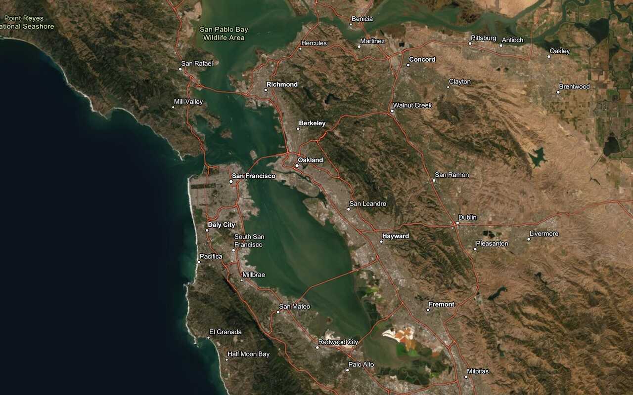
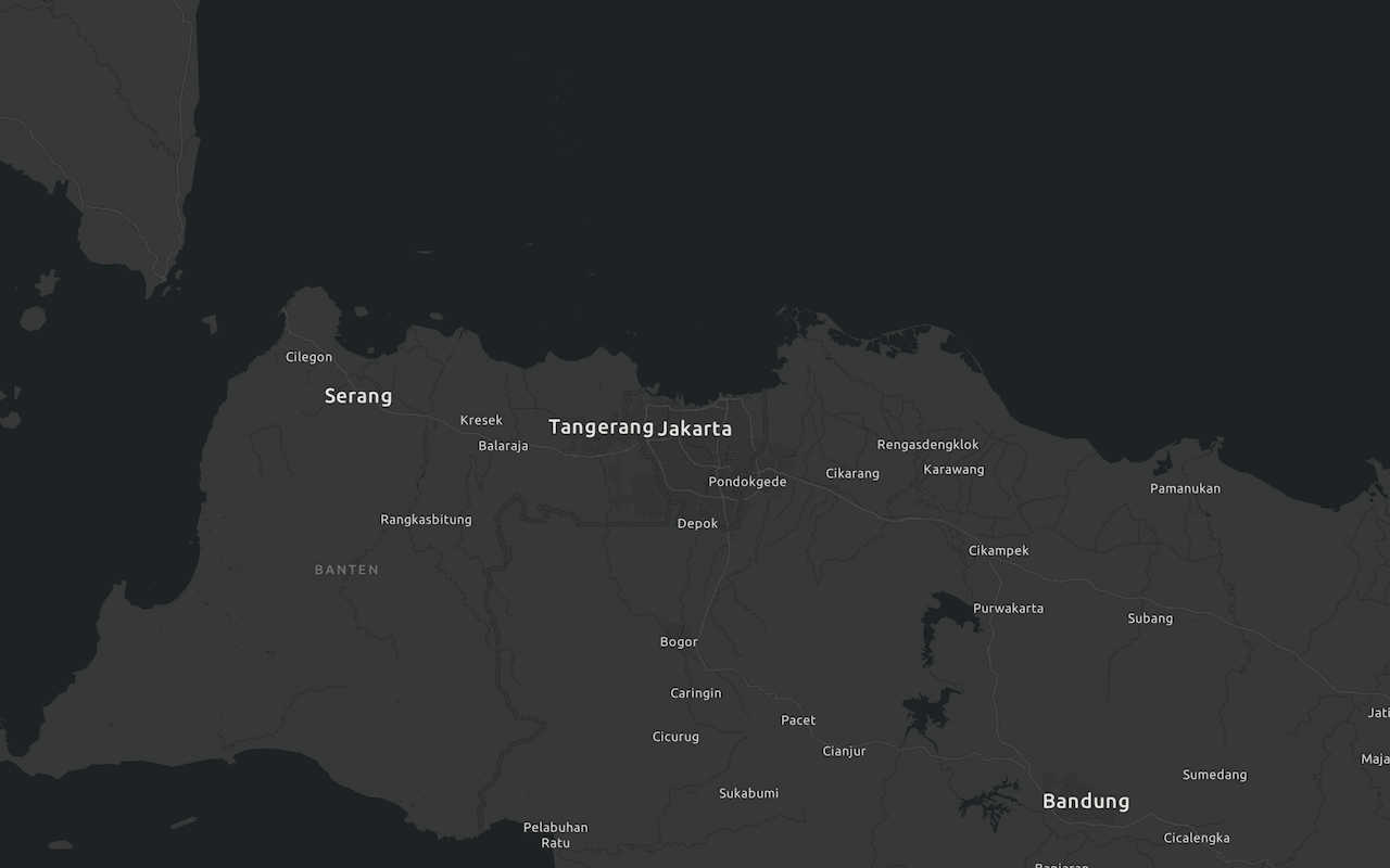
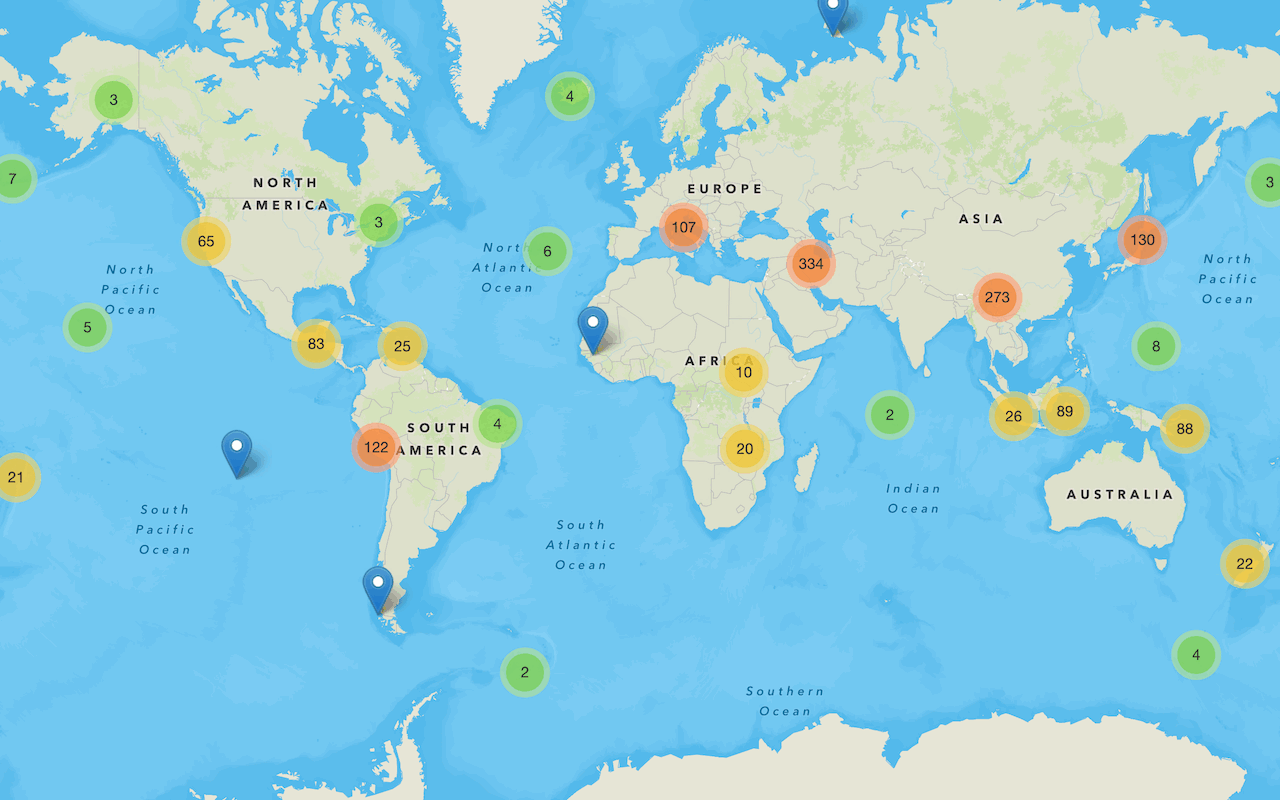
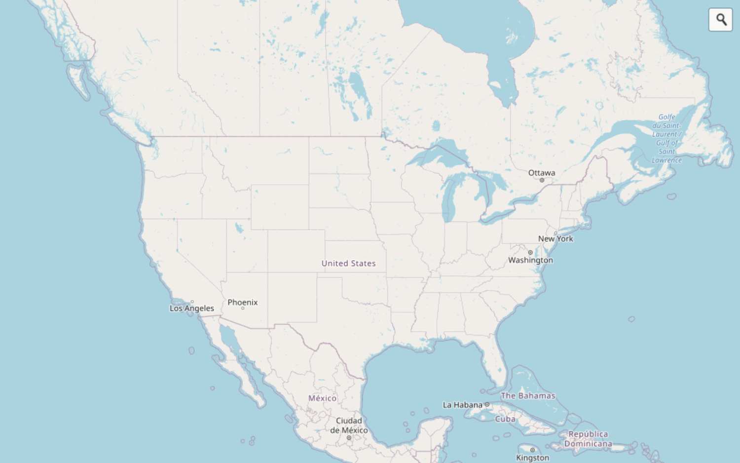
Display default vector tile basemap styles such as streets navigation, light gray canvas, and OSM.
Feature Layers
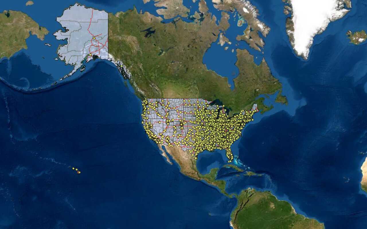
Access and display features in a map.
Visualization
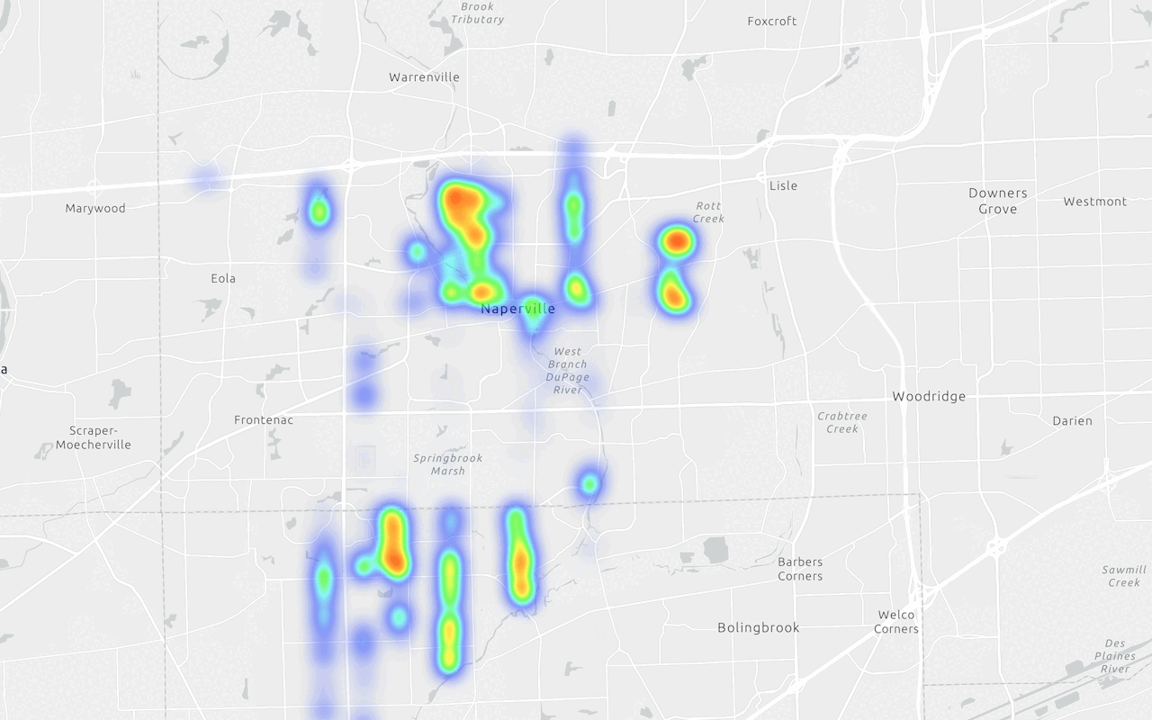
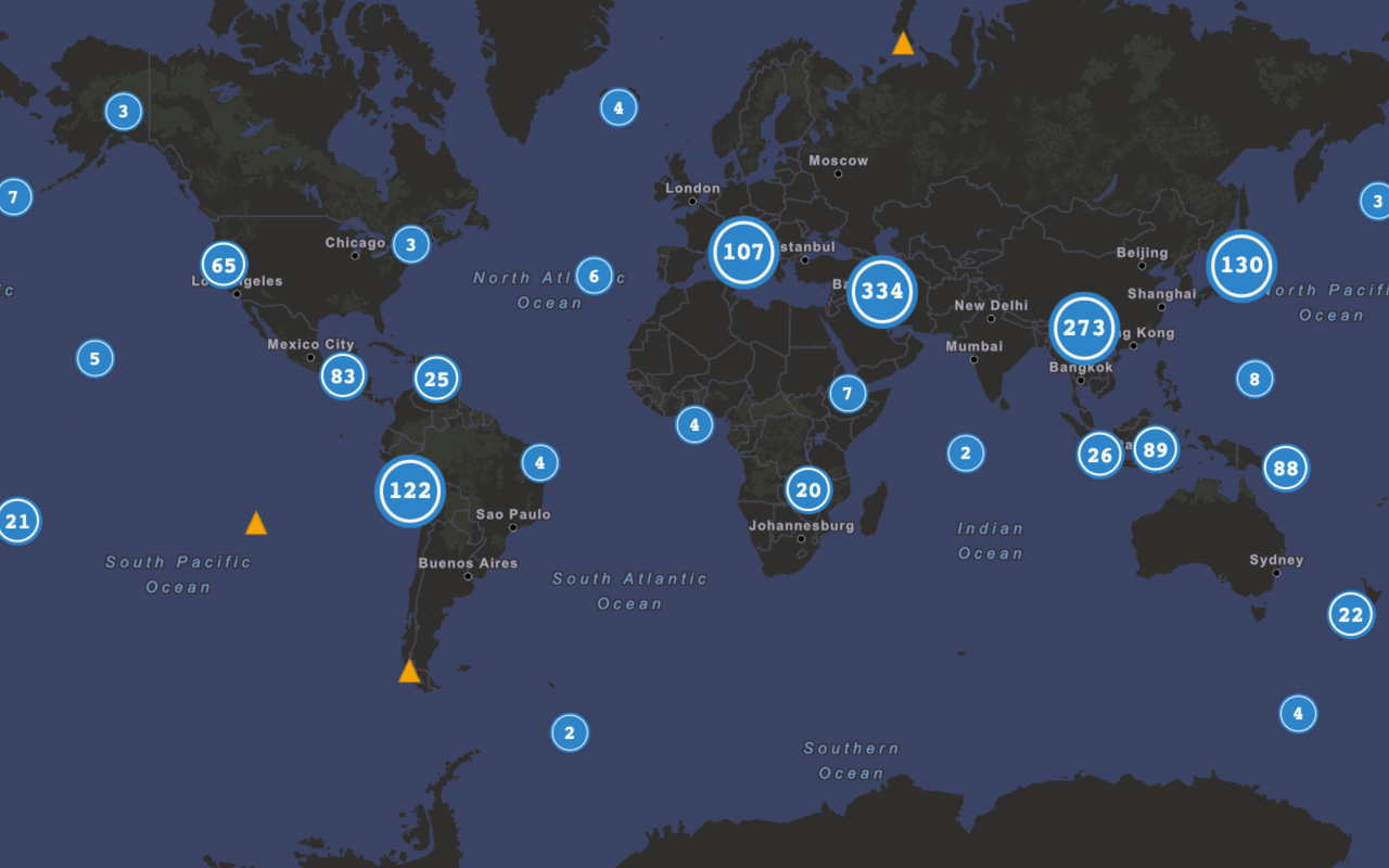
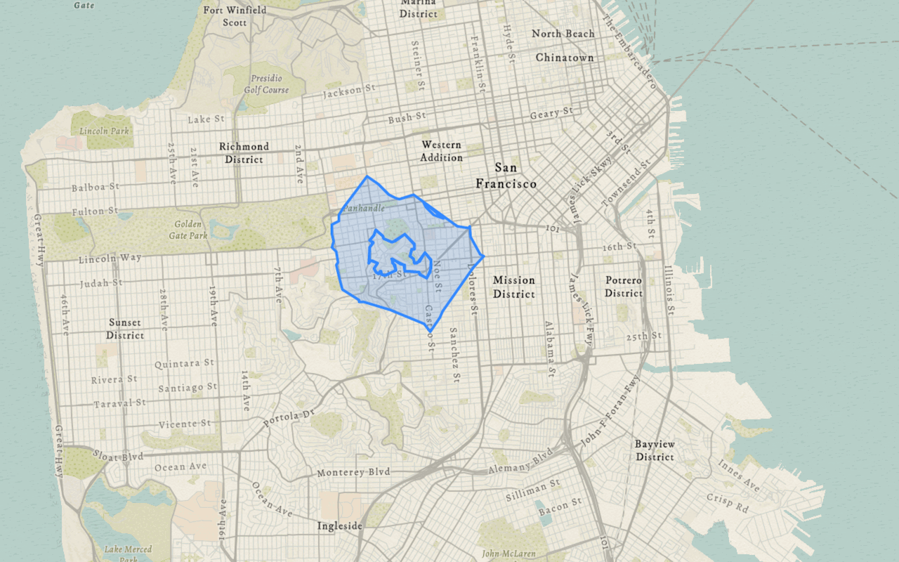
Style layers and create meaningful visualizations for a map.
Tile layers
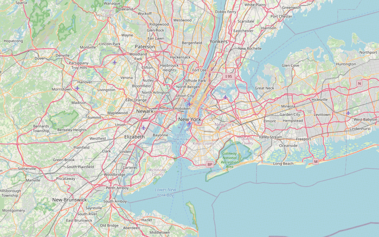
Display tilesets from a map service.
Dynamic map layers
Access and identify features from a dynamic map layer.
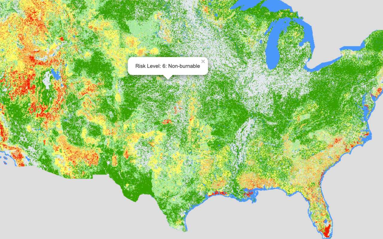
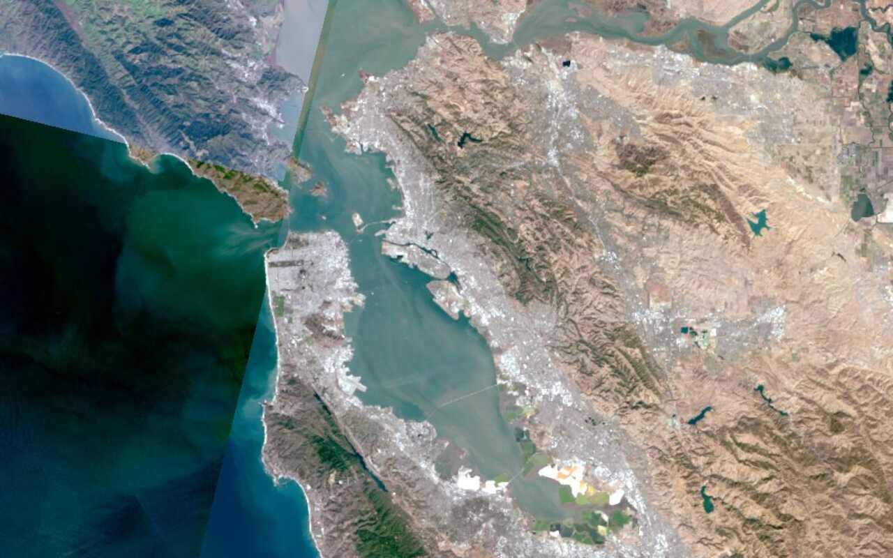
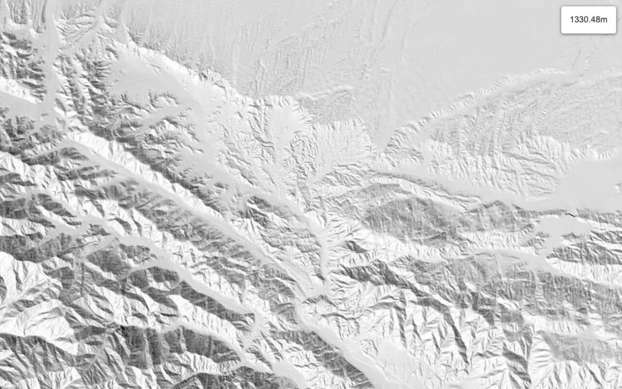
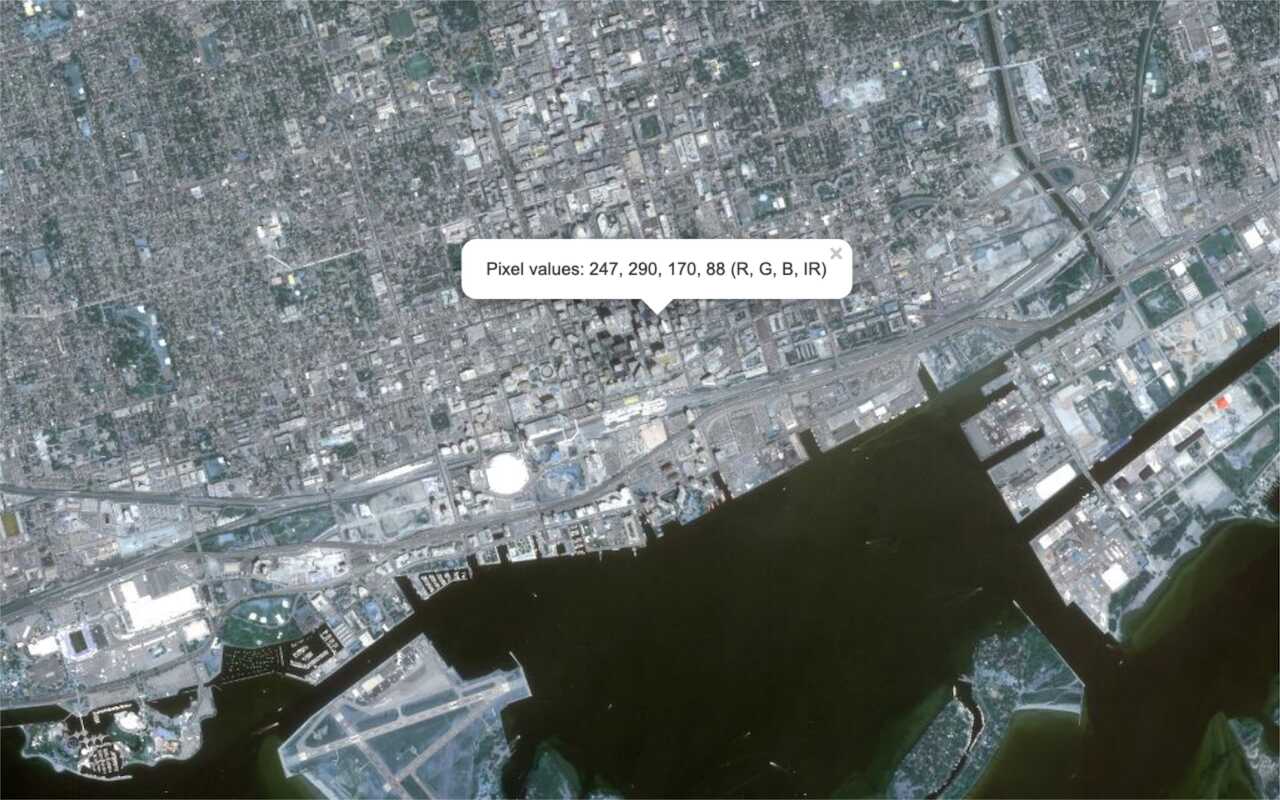
Image map layers
Access and identify imagery from an image map layer.
Projection
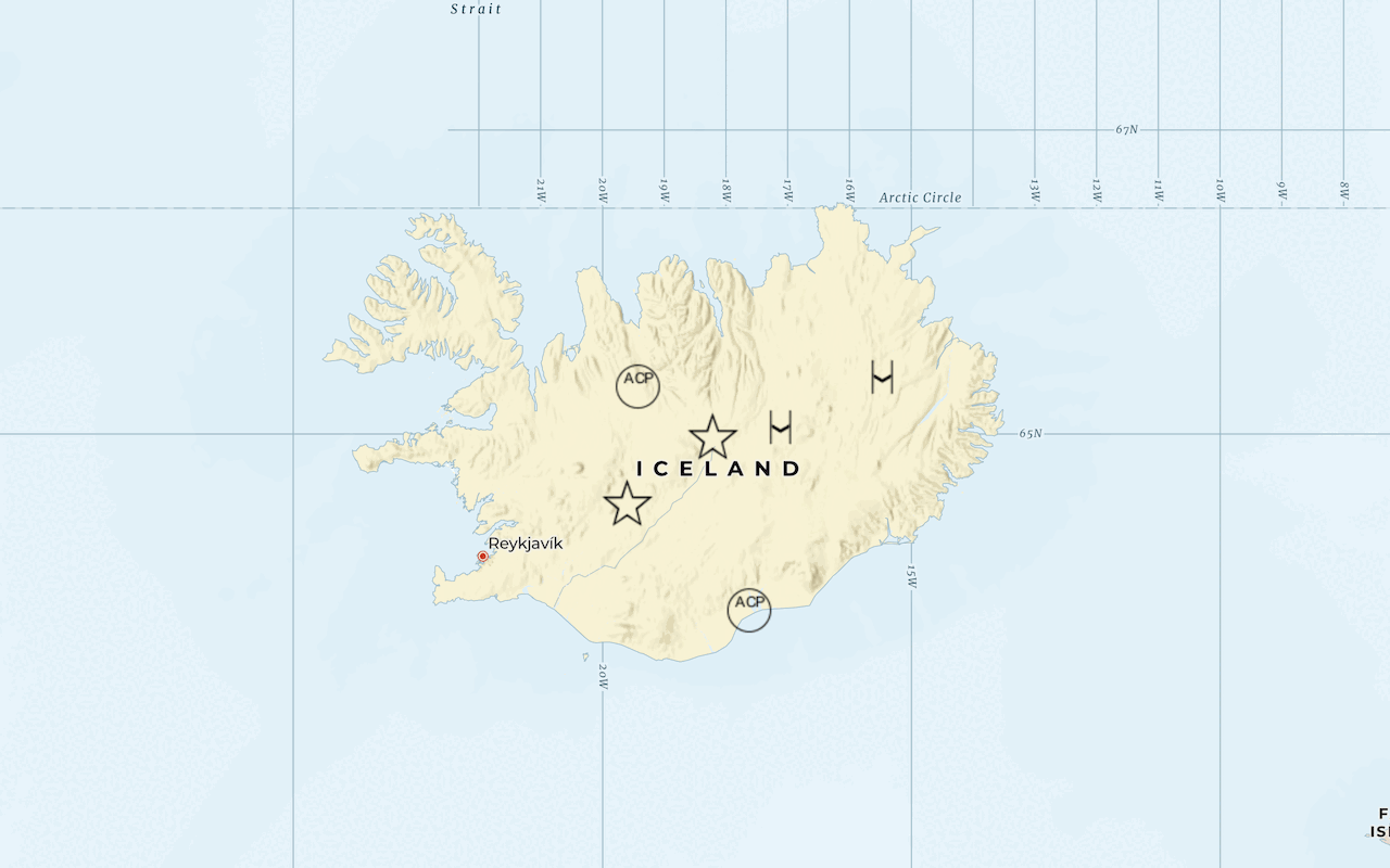
Project and display layers using a non-Mercator projection.
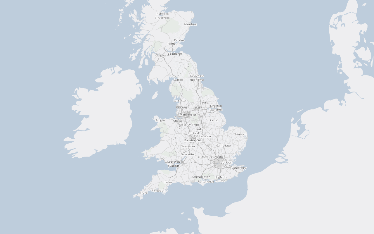
Project and display a tile layer
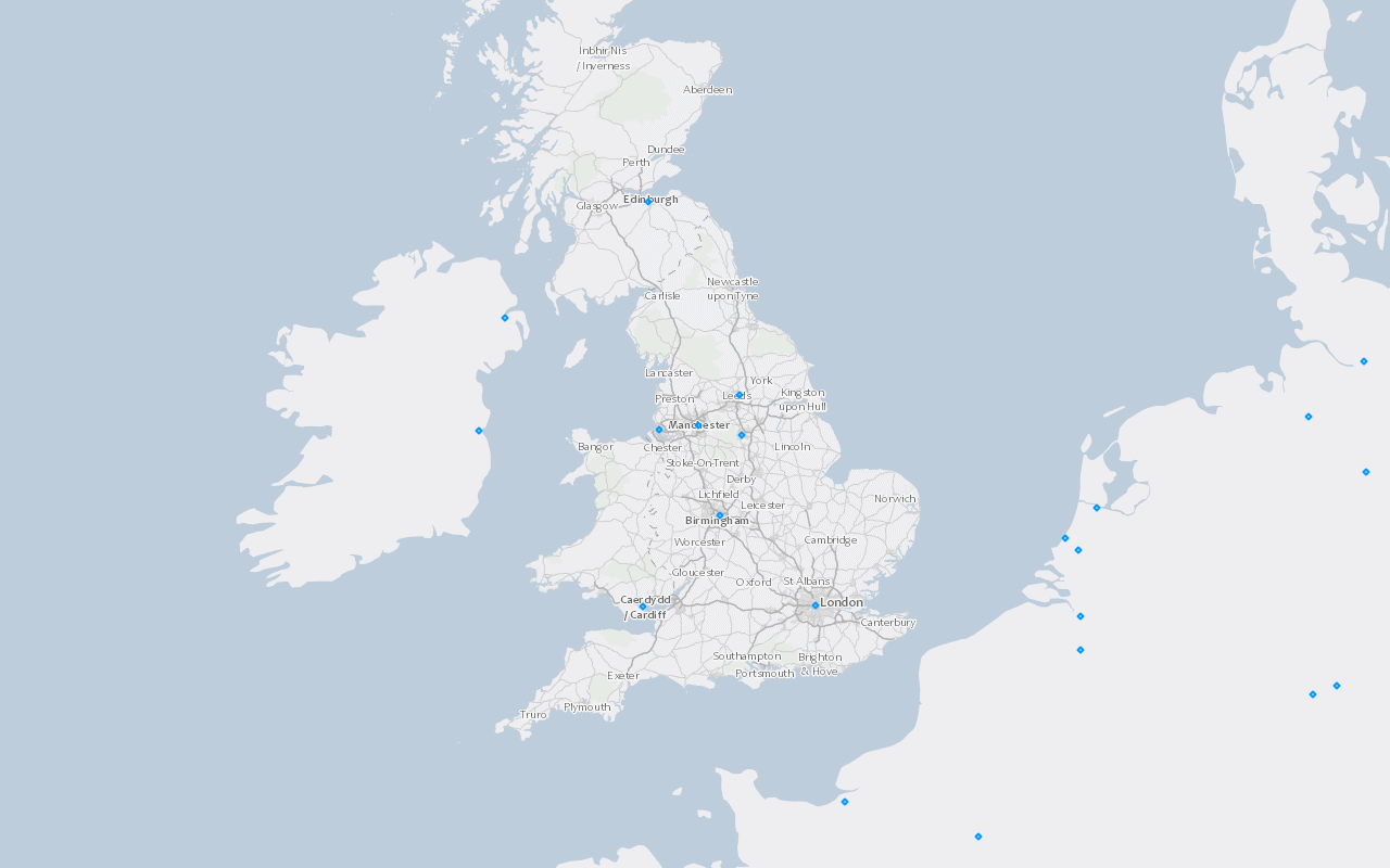
Project and display a feature layer
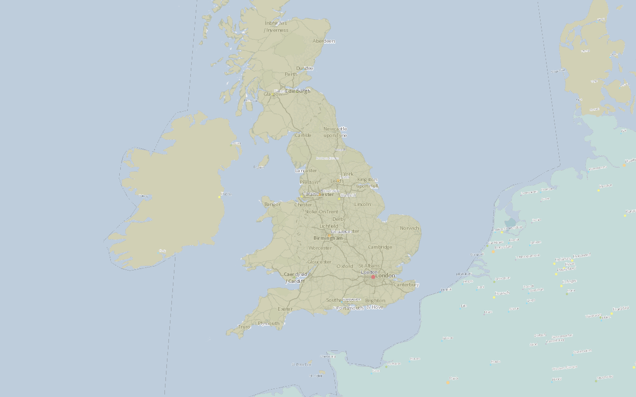
Project and display a dynamic map layer
Query
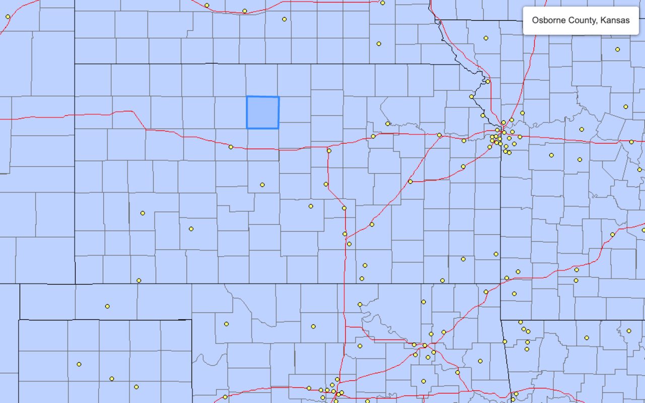
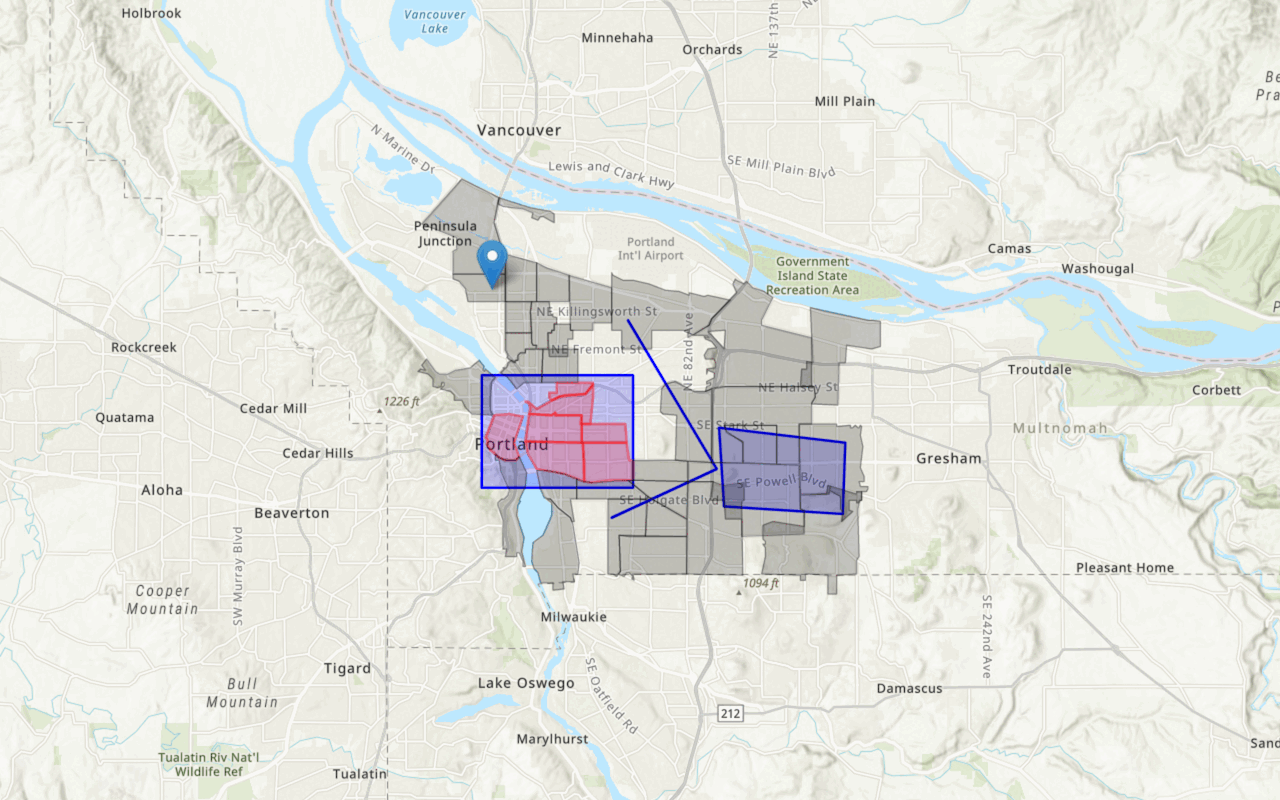
Perform SQL and spatial queries.
Geocoding
Search for addresses and points of interest.
Authentication
Access location services and secure content.
Services
Explore ArcGIS location services and hosted data services.

