In many industries such as utilities and natural resources, people in the field need simple, powerful tools when working with their maps. Bluefield GIS provides a solution that does just that. Draw Maps for ArcGIS aims to be a perfect replacement for the paper maps and pencils used by those in the field, adding real time collaboration capabilities between colleagues, wherever they are.


Key features
Built on the ArcGIS Runtime SDK
Uses the ArcGIS Runtime SDK for iOS, Swift, and C++.
Uses ArcGIS Authentication and Sharing
Control access using ArcGIS Online authentication and sharing capabilities. Notes taken in Draw Maps can be made instantly available to other Draw Maps for ArcGIS users as well as ArcGIS Online users.
Licensed through the ArcGIS Marketplace
Available through the ArcGIS Marketplace to make it quick and easy to license your users.
Natural looking notes and sketches
Utilizes the Bluefield Draw Engine, which allows for an enjoyable, realistic writing experience.
App details
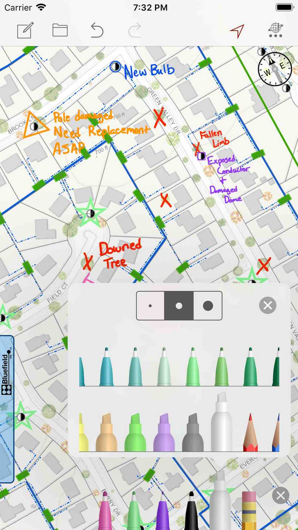
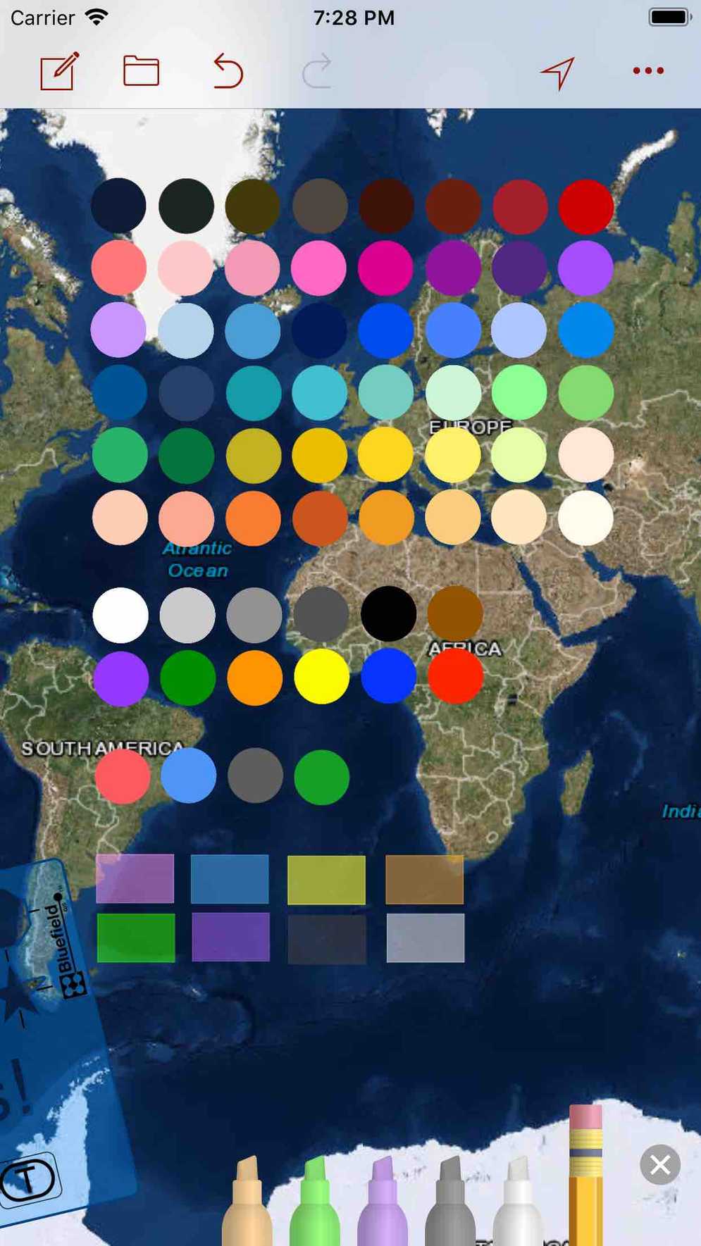
Draw Maps was built from the ground up to combine simplicity with the power of a collaborative mobile app. It gives users the ability to mark up any of their web maps using an iOS device as though they are using paper. Draw Maps gives you color pens and pencils to make sketches and take notes anywhere in the map. Move around and zoom to different scales as you draw.
- Use the stencil to draw perfect shapes or labels
- Add natural looking hand drawn notes and sketches
- Join collaborations hosted in web maps that are Draw Maps enabled
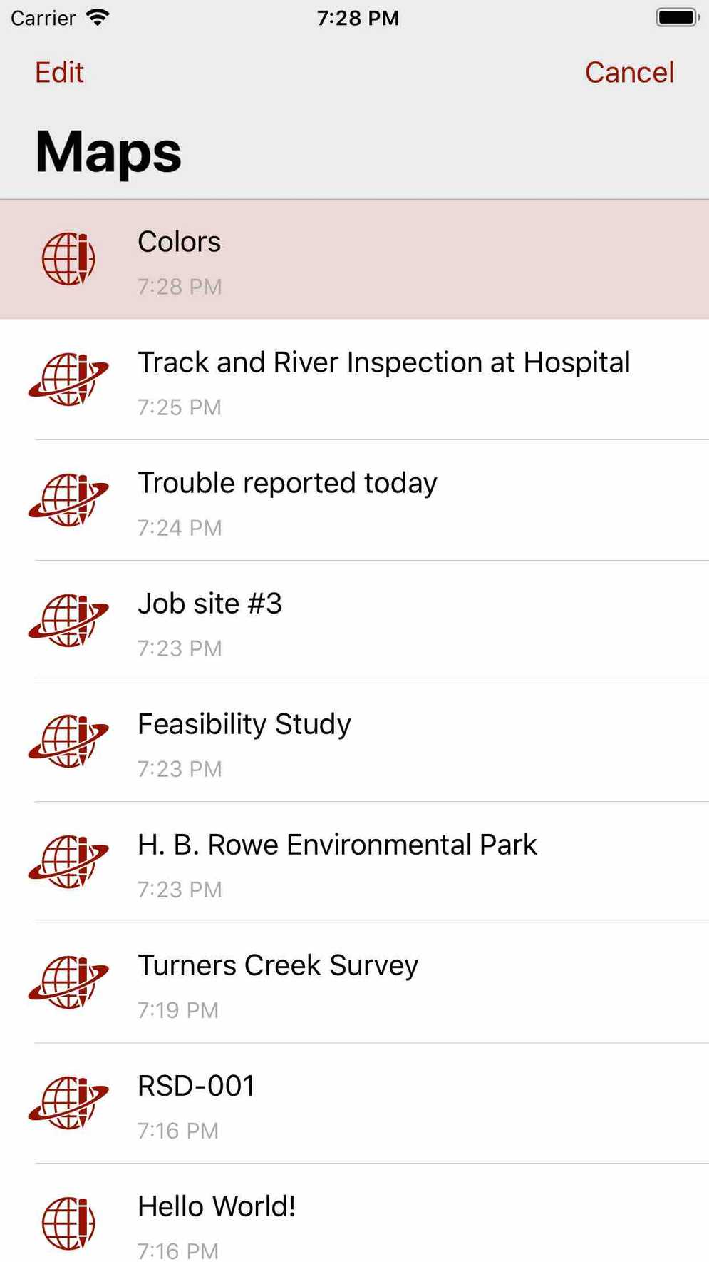
- Make as many maps and join as many collaborations as you like
- Send images of your map drawings to other people
- Ready for Apple Pencil on iPad Pro
Draw Maps includes collaboration capabilities that allow notes to be made instantly available to other Draw Maps for ArcGIS users, as well as any user with access to ArcGIS Online (multi-user map notes). Draw Maps adds value to mobile workers across any number of industries and can make any field job easier.