Local Server enables you to run offline geoprocessing tasks to provide advanced spatial analysis and data manipulation in your applications. These tasks work in the same way as geoprocessing tasks running on ArcGIS Enterprise. Running a geoprocessing task on Local Server requires an ArcGIS Pro geoprocessing package (.gpkx file). These packages can be authored in ArcGIS Pro either using Model Builder or by writing a Python script.
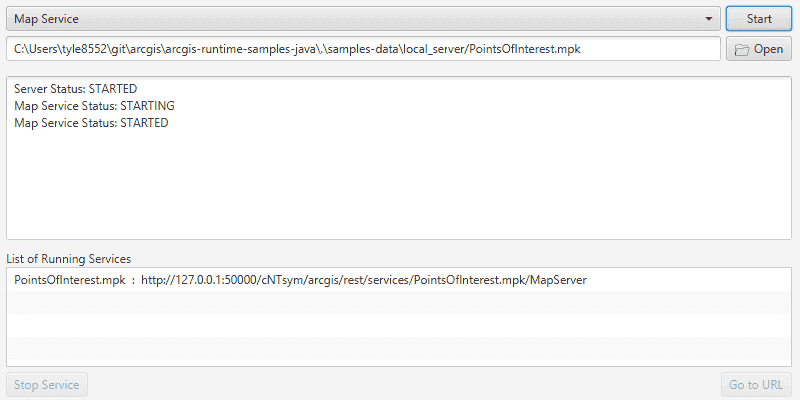
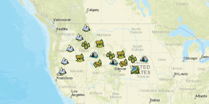
Local Server also allows you to add map image layers or feature layers from content in an ArcGIS Pro map package (.mpkx file). This capability has been included to support workflows in earlier versions of ArcGIS Runtime. If you are starting a new project and require offline data, see Offline maps, scenes, and data for more information about implementing offline workflows with ArcGIS Runtime.
Local Server is an optional component of ArcGIS Runtime SDK for Java. It is an additional download available for Windows (64-bit) and Linux (64-bit). To develop with Local Server you must install the ArcGIS Runtime Local Server SDK.


