The mission of Kittitas County Noxious Weed Control Board is to protect and preserve the agricultural lands and natural resources of the county from degrading effects of exotic and invasive noxious weeds. To accomplish this goal a comprehensive prevention and early intervention program was designed. The program promotes strong communication between parcel landowners and directors of the Noxious Weed Control Board. This fosters a cooperative and coordinated effort in the management of noxious weeds by enhancing public awareness through educational efforts.


Key features
Work offline
Provides connected and disconnected GIS data collection workflows to a variety of tablets and mobile devices.
Synchronize data
Synchronize collected data with centralized ArcGIS Enterprise system.
ArcGIS Runtime
Build custom mapping apps that work anytime, anywhere using the ArcGIS Runtime SDK for .NET.
App details
During the growing season, inspectors are hired to perform field inspections, revisiting known sites and cataloging new ones. In the original system, each inspector had their own Excel spreadsheet that they would use to enter all inspection information from handwritten notes taken in the field. Points were collected using Esri's ArcPad and imported into ArcMap. Research for previous weed infestations on parcels was tedious having to search one massive Excel spreadsheet. At the end of each growing season, the director and assistant director went through each separate Excel spreadsheet and combined them into the master, along with all the point features collected into a single feature class.
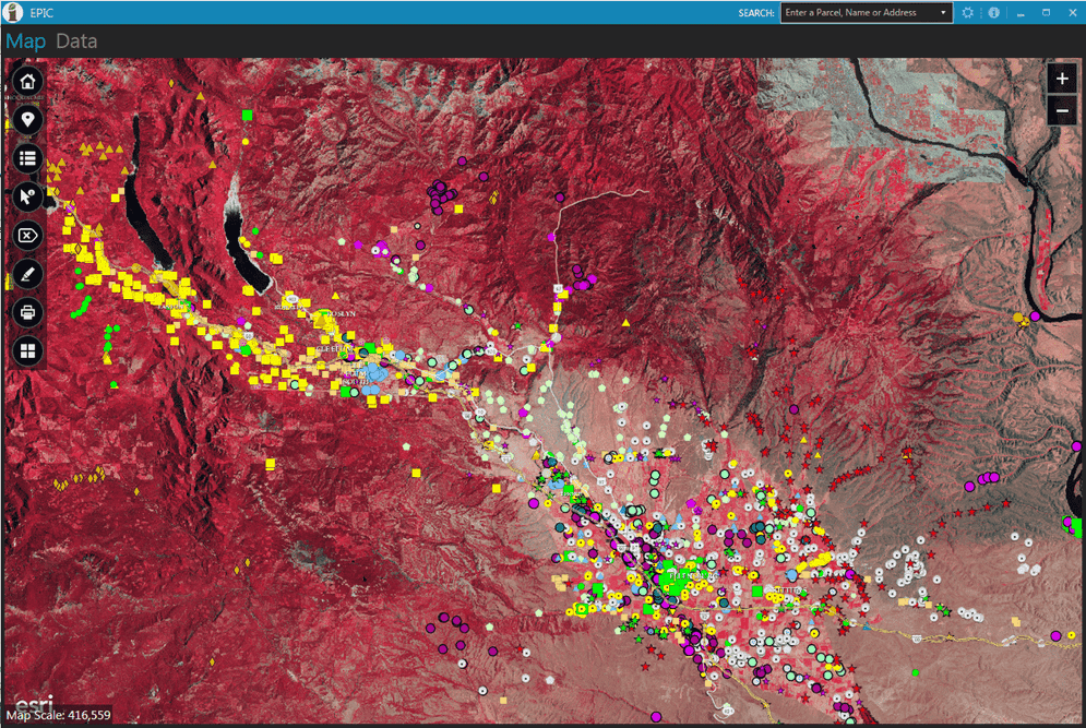
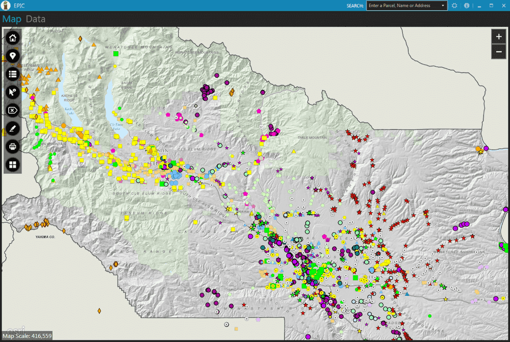
Exotic Plant Information Collector (EPIC) is a Windows WPF application built with Esri's ArcGIS Runtime SDK for .NET that can be taken into the field to collect geo-located weed infestation data. This application helped replace the older system and has saved hours in collection and processing time. The department director uses EPIC to flag the existing weed logs that are collected as either “concerns” or “work orders”. When inspectors come in each morning, they sort the weed log and check to see what to work on for that day. Before leaving the office, the inspector downloads all features and data tables to a local geodatabase to be able to use EPIC in an “offline” mode while in the field.
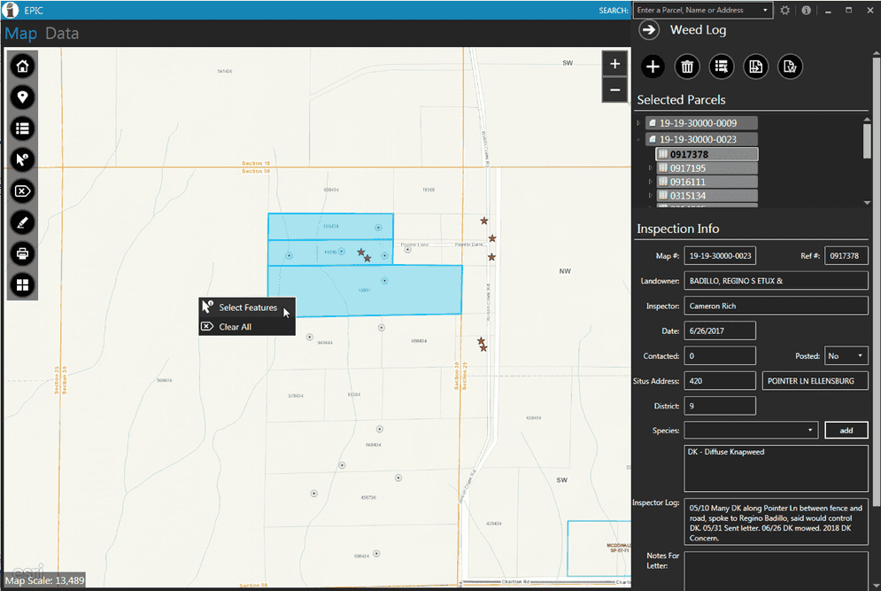
EPIC can be used both online and offline, allowing inspectors to enter the inspection information and data directly to EPIC while disconnected. ArcMap and ArcPad are no longer required by inspection staff, reducing the training time for only one system. By selecting a parcel, the inspector has access to all previous years' inspections in the same view and can add, update, and delete inspections when needed.