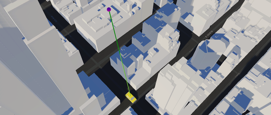
When you work with physics to simulate or analyze a space, such as determining line of sight or where a projectile will go, you may need a surface with a mesh collider. You can enable and disable the mesh collider from the ArcGIS Map component. When enabled, a collider mesh is generated for all layers in the ArcGIS Map. To use raycast with the mesh collider, see Unity's API documentation: Physics.Raycast


