Version 1.7.0 - November, 2024.
This page provides details about enhancements, deprecations, resolved issues, and known issues in the 1.7 release of ArcGIS Maps SDK for Unity.
Enhancements
This section outlines new features and improvements (what's new).
Linux support
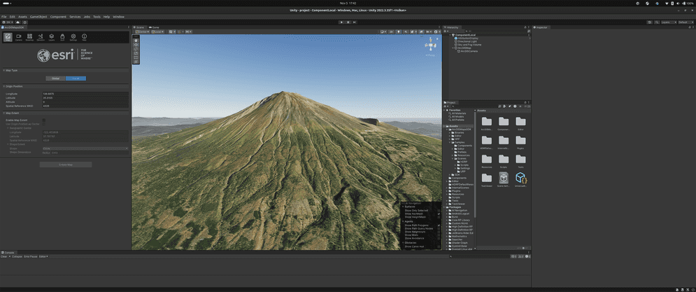
ArcGIS Maps SDK for Unity now supports Linux. The supported version is Ubuntu 22.04 LTS.

Attribution support
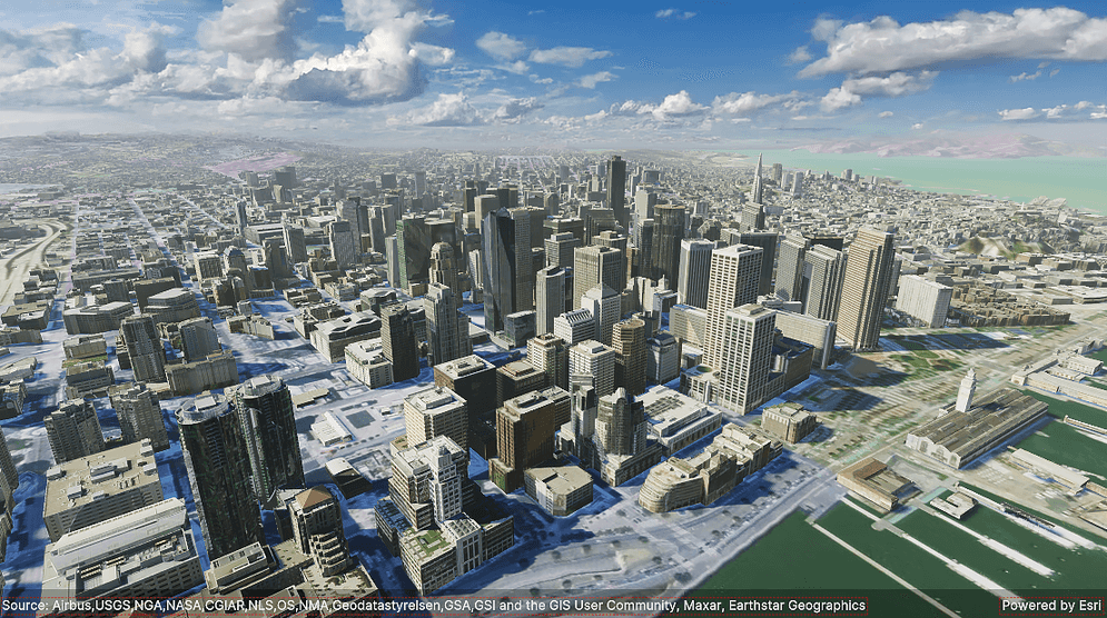
With this release, you can now display attribution details in your application. These details include descriptive information about the data sources used by the application next to the Powered by Esri text in all applications that use Esri technology. This includes applications that use any ArcGIS API, SDK, service, content, or data. Displaying the attribution is required for all applications that contain a map or do not contain a map. These requirements are outlined in detail in the Attribution topic.

Draw status support
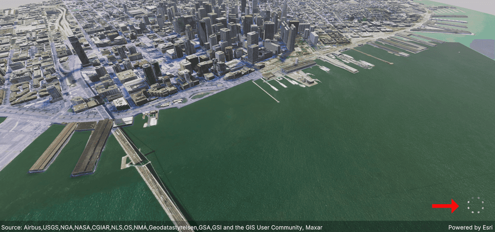
Support for draw status is added with this release. Use this status to determine whether the content of a view is still drawing or drawing is complete. The drawing state of the view might change when zooming in or out, panning, or performing other actions that require the map to be redrawn.

C# API
ArcGISevent has been added so that when theAttribution Changed Event ArcGISattributions has changed, a callback is triggered.View ArcGISenum value has been added to support different statuses of drawing in theDraw Status Geo.View ArcGISevent has been added so that when the draw status changes, a callback function can be triggered.Draw Status Changed Event Attributionproperty has been added underText ArcGIS.View Drawproperty has been added underStatus ArcGIS.View
Components
- ArcGISAttributionDisplay component has been added for this release.
Plugin samples
-
The DisplayDrawStatus sample (DisplayDrawStatus.unity) is included as a plugin sample to demonstrate subscribing to the draw status changed event to display a loading spinner while layers in the map are drawing. The sample can be found in the directory indicated below.
Assets/Samples/ArcGIS Maps SDK for Unity/1.7.0/Sample Content/Scenes/HDRP or URP/
Prefabs
-
Attribution prefabs (AttributionDisplay.prefab) is included under the directory indicated below. To use it, simply drag the prefabs to your scene.
Assets/Samples/ArcGIS Maps SDK for Unity/1.7.0/Sample Content/Prefabs
Deprecations
There are no OS and framework deprecations with this release.
Issues resolved
There are no resolved issues with this release.
Known issues
-
BUG-000169955: Changes on the component not reflected in the Map Creator UI.
Summary: After making changes to the component, the Map Creator UI does not automatically update with the new values.
Workaround: Click a different tab in the Map Creator UI to pull the new values from the component.
-
Question on Esri Community: Integrated mesh scene layer behind terrain relief is rendered with URP.
Summary: When an integrated mesh scene layer is behind terrain such as behind a mountain, the layer is visible.
Workaround: No workaround available.
-
BUG-000169956: Custom basemaps disappear from the basemap gallery after entering the play mode.
Summary: After adding custom basemaps from the Map Creator UI, click play once removes all custom basemaps that are not currently selected.
Workaround: No workaround available.
-
BUG-000169776: Custom basemap name will be lost after clicking play.
Summary: The name for the custom basemap that is added from the Map Creator UI is automatically changed to User Basemap after clicking play.
Workaround: No workaround available.
-
BUG-000169957: Local file packages cannot be added from the ArcGIS Map component using the ellipsis menu (three dots icon).
Summary: Adding local file packages from the ArcGIS Map component using the ellipsis menu does not add the file path to the Source field, and an
Invalidmessage is logged in the Unity Console.Operation Exception : Stack empty Workaround: Set the file path manually in the Source field. For example:
C.:/ Users/my _username/my _folder/example.slpk -
Question on Esri Community: Collider offsets in rendered OSM 3D buildings.
Summary: The collision mesh is not properly aligned with the corresponding rendered OSM 3D building, which can result in inaccurate collision detection or unexpected behavior when interacting with the 3D environment.
Workaround: No workaround available.