Follow the steps below to get started:
1. Sign in with an ArcGIS account
To access ArcGIS location services, you need an ArcGIS Location Platform account or an ArcGIS Online account.
If you do not have an account, select one of the options below:
2. Download the plugin
Review system requirements and download the plugin.
3. Set up an Unreal Engine project
Install Unreal Engine and the plugin, and set up an Unreal Engine project.
4. Get an API key
Create, manage, and scope API keys in your portal. For the detailed steps to create an API key, see Create and manage an API key tutorials in the Security and authentication guide.
5. Visualize your GIS data in Unreal Engine
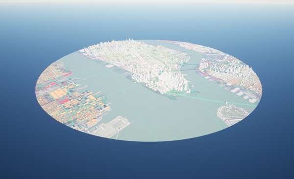
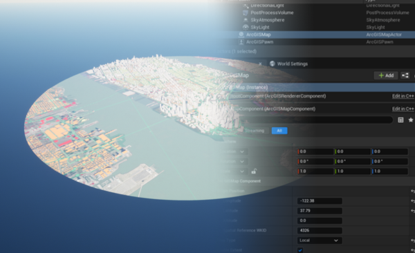
Create a Level in Unreal Engine and add an ArcGIS Map. Use your API key to access the ArcGIS basemap layer service.
6. Explore samples
To access the Samples folder in Unreal Engine, open the Content Drawer and select Plugins > ArcGIS Maps SDK for Unreal Engine Content > Samples. If the Plugins folder does not appear in the list, click Settings at the top right corner of the Content Drawer and select Show Plugin Content.
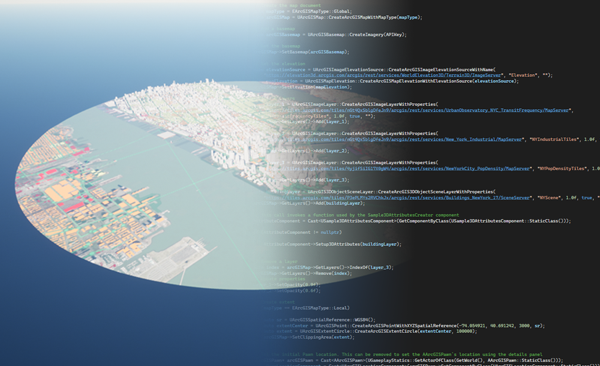
- API sample: display map data using the C++ API
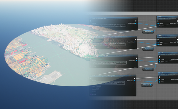
- Blueprints sample: display map data using Blueprints
- Components sample: display map data using components
- DrawStatus sample: subscribe to the draw status changed event to display a loading spinner while layers in the map are drawing
- OAuth sample: showcase how to load private content with user authentication
- Tabletop sample: visualize and interact with map data in a clipped area placed on a surface within a virtual or physical environment
To access the Samples folder in Unreal Engine, open the Content Drawer and select Plugins > ArcGIS Maps SDK for Unreal Engine Content > Samples. If the Plugin folder does not appear in the list, click Settings at the top right corner of the Content Drawer and select Show Plugin Content. It is necessary to provide your API key to use the plugin samples.
Additional samples are available on GitHub, which serve as starting templates for developing more advanced experiences. You can also submit issues and PRs to suggest new samples.
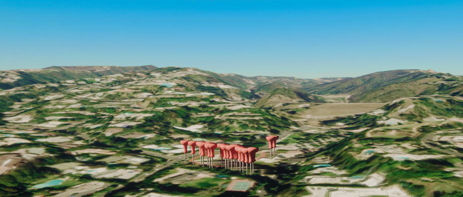
Feature Layer
Query objects from a feature layer and show them on the map

Line of sight
Show a line of sight between two objects
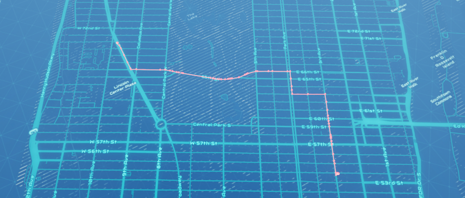
Find a route
Show a route between two points on a map using Esri's routing service REST API.
7. Deploy your app
Learn about the general guidelines and Terms of use before distributing your application for Windows, macOS, Linux, Android, iOS, or XR headsets.
