This sample shows how to modify an IntegratedMeshLayer by masking, clipping, or replacing (flattening) regions of the mesh. The modifications are applied client-side in the browser and do not modify the underlying data. It is possible to create modifications with the SketchViewModel and select the modification type of the polygon that affects the IntegratedMeshLayer. The following types of modification operations can be performed:
| Illustration | Modification | Description |
|---|---|---|
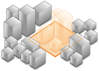
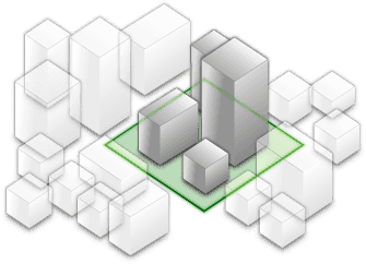
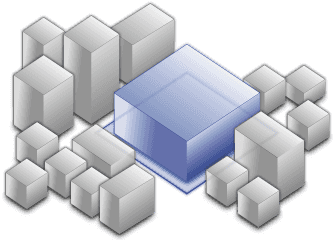
 | clip - removes selected area | Clip-out portions of the integrated mesh to see features below. For example, utility work on gas or water lines in an area. Planners can create a scene in which the integrated mesh is clipped out at a site to expose the water or gas lines below it. |
 | mask - displays only selected area | Define an area of interest. Use a polygon and draw only parts of the integrated mesh inside that polygon. For example, if you want to show only a portion of an integrated mesh within the boundaries of a city. |
 | replace - flattens selected area | Replace an area of an integrated mesh based on a 3D polygon. For example, to add constructed buildings, flatten the integrated mesh at the footprint of a building so the new building can be visualized. Create different scenarios of the new construction area and share the scenarios as a web scene to discuss with stakeholders. The integrated mesh flattens to the minimum z-vertex of the modification polygon. |
Example how to create and add the modifications:
// create the IntegratedMeshLayer
const layer = new IntegratedMeshLayer({ ... });
// create a polygon
const polygon = new Polygon({ ... });
// create the modifications
let modifications = new SceneModifications(
[
new SceneModification({geometry: polygon, type: 'replace'})
]);
// add the modification to the IntegratedMesh
imLayer.modifications = modifications;Modifications can also be created on the desktop in ArcGIS Pro and then published in a WebScene along with the integrated mesh scene layer for access from web clients. Read more about it in the documentation page ArcGIS Pro - Modify an integrated mesh layer.
The integrated mesh scene layer in this example was generated with nFrames SURE and is used courtesy of Aerowest GmbH.