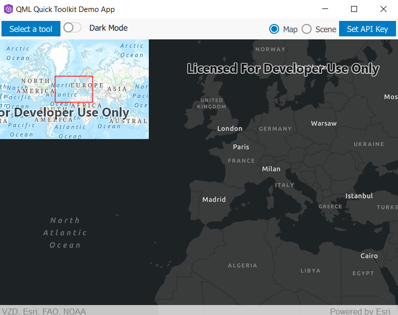
Defines a small "overview" (or "inset") map displaying a representation of the current viewpoint of the given GeoView. For MapViews, the current viewpoint will be represented by a polygon displaying the visible area of the MapView. For SceneViews, the current viewpoint will be represented by a reticle (crosshairs) displaying the viewpoint center. More...
| Since: | Esri.ArcGISRutime 100.12 |
| Inherits: |
Properties
- controller : var
- geoView : var
- scaleFactor : real
Detailed Description

OverviewMap {
    anchors {
        top: parent.top
        left: parent.left
        margins: 10
    }
    geoView: parent
}
Note: By default, the OverviewMap will attempt to use an ArcGIS Topographic basemap, which requires an access token to access.
Property Documentation
controller : var |
The controller handles binding logic between the OverviewMap and the GeoView where applicable.
The CPP controller is documented here.
geoView : var |
The GeoView for this tool. Should be a SceneView or a MapView.
scaleFactor : real |
Sets the amount to scale the OverviewMap compared to the geoView.